Camp guide · Main Salmon, Frank Church–River of No Return Wilderness
Main Salmon camps
92 named camps, Corn Creek to Long Tom Bar · river miles 2.5–75.7
Camps
92 named, 32 reservable
Reservable
20 large, 12 small-medium
At high water
47 usable, 45 gone
Camp requests
Emailed form, 14 days before launch
How to read this
Every camp below carries two numbers from the Forest Service list: how
many people it holds at low water and how many at
high water. They are often different, and that
difference is the most useful thing on this page. 45 of the
92 camps are beaches that do not exist at high water. 4 more
shrink. One exists only at high water.
The capacities are limits, not suggestions. A group may not use a camp
that is rated for fewer people than it has, so a party of 12 cannot take
a 10-person beach, reserved or not.
The list does not say what flow separates low from high. Treat the June
runoff as high water and expect the low-water beaches to come out as the
river drops through July. If you launch early, or the year is a big one,
plan on the high-water numbers and check
today’s flow before you fill in a request.
Requesting reserved camps
The Forest Service now assigns reservable camps ahead of time, by
email, not at the Corn Creek launch. For launches from June 15 through
September 7 the River Office emails the permit holder a camp request
form 14 days before the launch date.
Submit the form at least 7 days before launch. It can be submitted once. Miss it and you get no reservable camps.
A permit can hold at most 5 reservable camps.
Groups of fewer than 21 on a 7- or 8-day trip may not reserve large camps. On a trip of 6 days or fewer they may ask, but groups of 21 or more are assigned large camps first.
No layovers in a reservable camp, and you must be in the camp on the date printed on the permit.
Be in a reserved camp by 7 PM Mountain time and out by noon. After 7 PM an empty reservable camp is open to anyone.
Reserved camps are final once the permit is issued, which happens by email 5 or 6 days before launch.
Everything not marked reservable is first-come.
Trip length follows group size during the control season: up to 8 days
for 1–10 people, 7 days for 11–20, and 6 days for
21–30. Rules change; the
Salmon-Challis National Forest page
is the authority, and this summary was checked against it on 2026-09-30.
Corn Creek to Black Canyon miles 2.5–19.9 · 28 camps
The first day or two. Short mileage between camps, the Lantz Bar and Devil's Teeth clusters, and the first reservable sites.
Mile 2.5 · river leftFirst-come
Lunch Bar
Low water
10 people
High water
10 people
A small sloping sand beach that loses the sun early. Better known as a first-day lunch stop than a camp, but it works for a small group that launched late.
Low water: The beach gets bigger as the river drops.
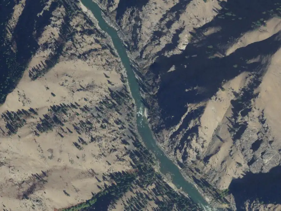
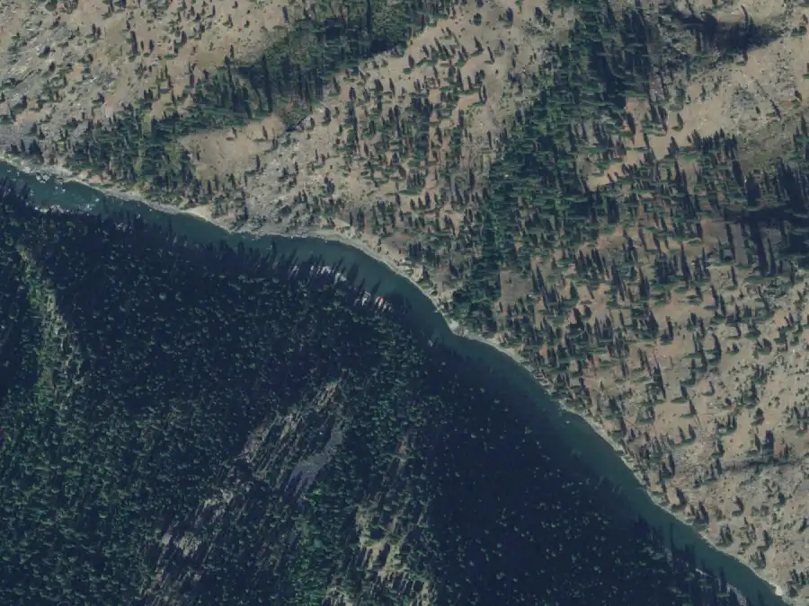
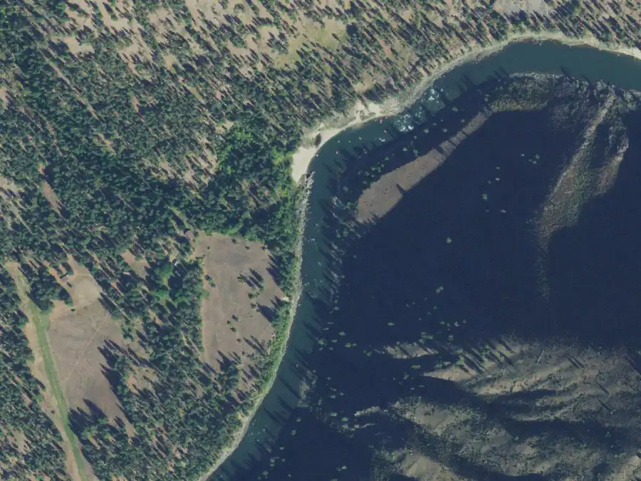
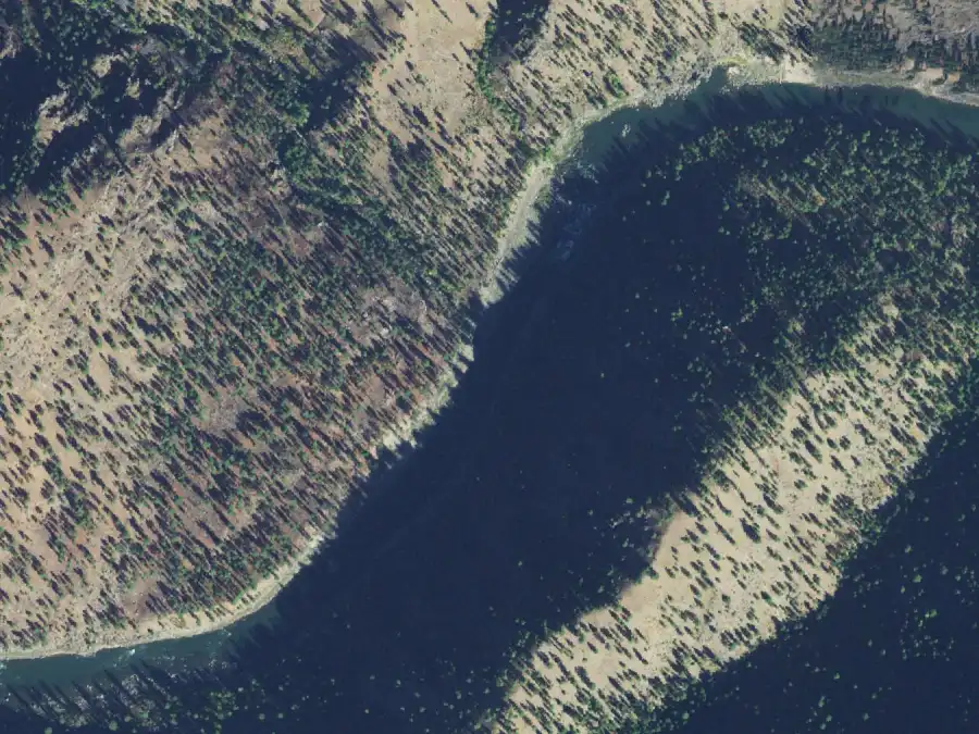
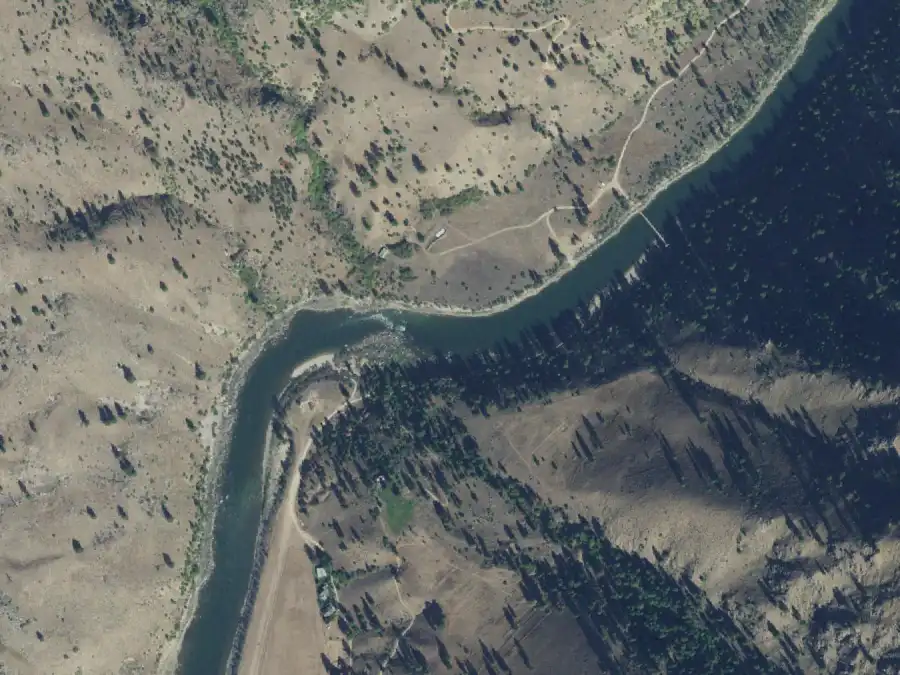
From the air, 30 Sep 2021, White Bird at 2,870 cfs. North is up. The camp is on river left, near the middle of the frame. USDA NAIP, public domain.
Sand beach
Shade
Forest Service note: “Small beach, early shade.”
Mile 3.4 · river rightFirst-come
Upper Horse Creek
Low water
30 people
High water
30 people
Upstream of Horse Creek, with the camp back in the trees rather than on a beach. Room for a full-size group at any level, and the closest big camp to the put-in.
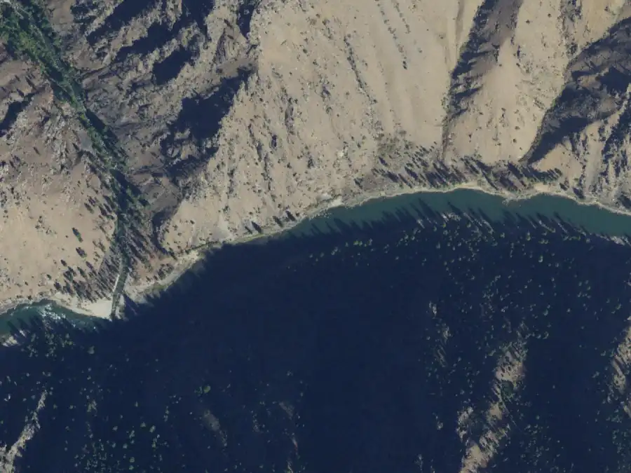
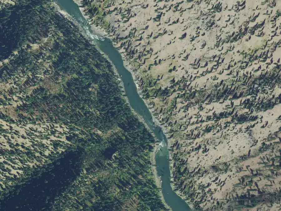
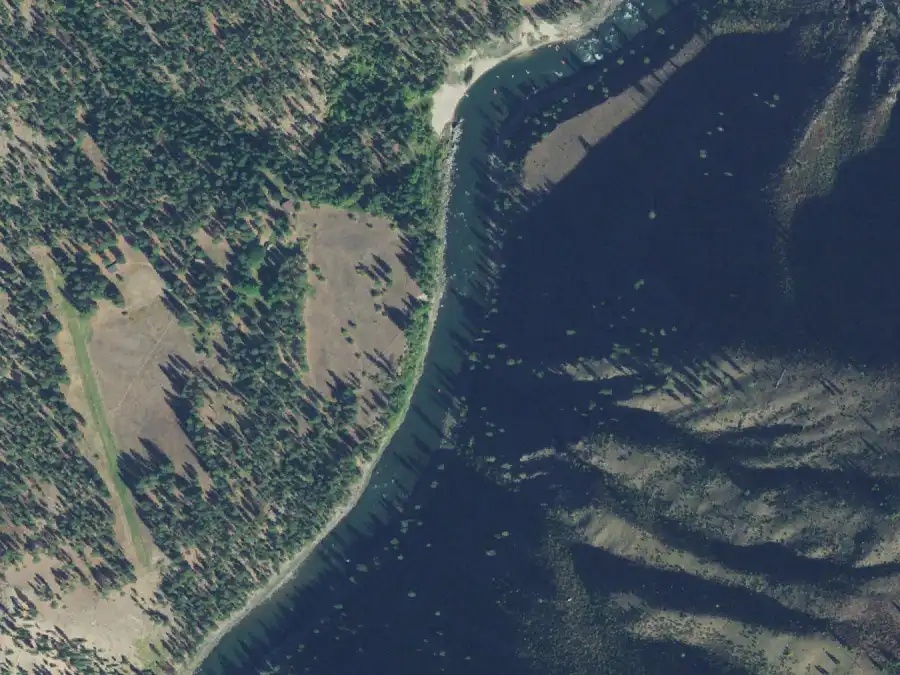
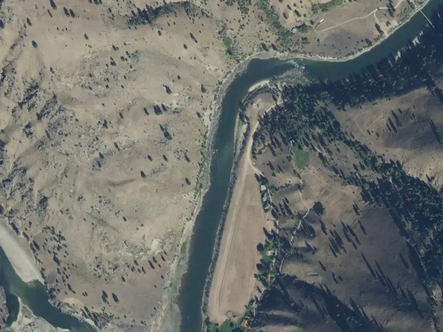
From the air, 30 Sep 2021, White Bird at 2,870 cfs. North is up. The camp is on river right, near the middle of the frame. USDA NAIP, public domain.
Shade
Bench camp
Forest Service note: “In trees by the creek.”
Mile 3.5 · river rightFirst-come
Lower Horse Creek
Low water
30 people
High water
30 people
On the bar just below the creek. Across the river are the remains of a pack bridge that was condemned and removed in 1970. The eddy is small, so set up for it early.
Low water: The bar is at its best at low water.
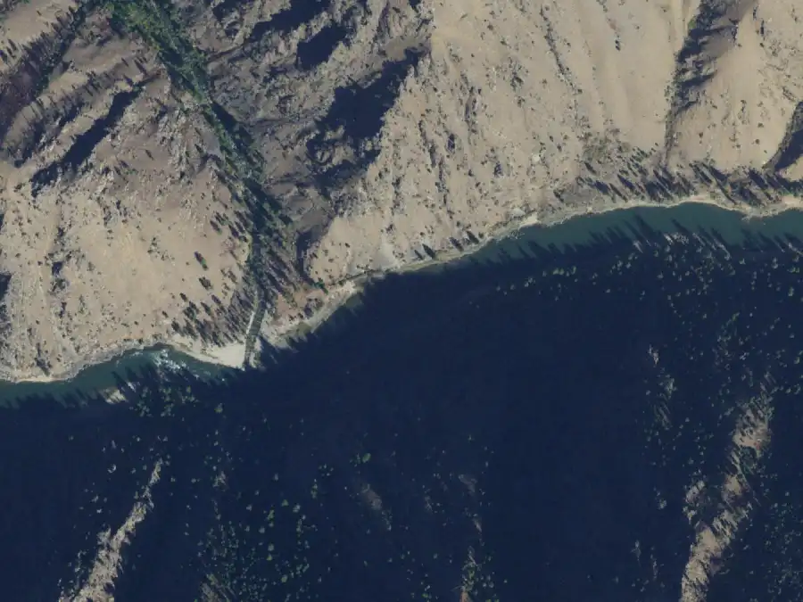
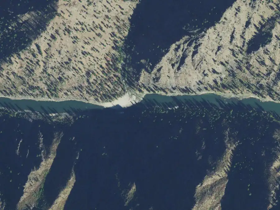
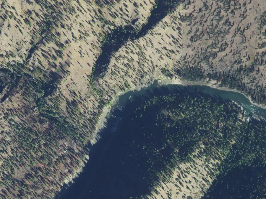
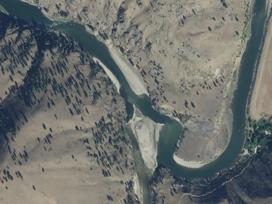
From the air, 30 Sep 2021, White Bird at 2,870 cfs. North is up. The camp is on river right, near the middle of the frame. USDA NAIP, public domain.
Tricky landing
Forest Service note: “Downstream of the creek.”
Mile 3.6 · river leftFirst-come
Bridge Piling Campsite
Low water
20 people
High water
No camp
A mid-sized sand beach on the left at Horse Creek, on the old pack bridge's side of the river. A low-water camp only.
High water: No camp. The Forest Service gives it no high-water capacity.
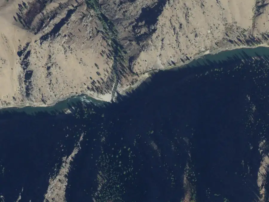
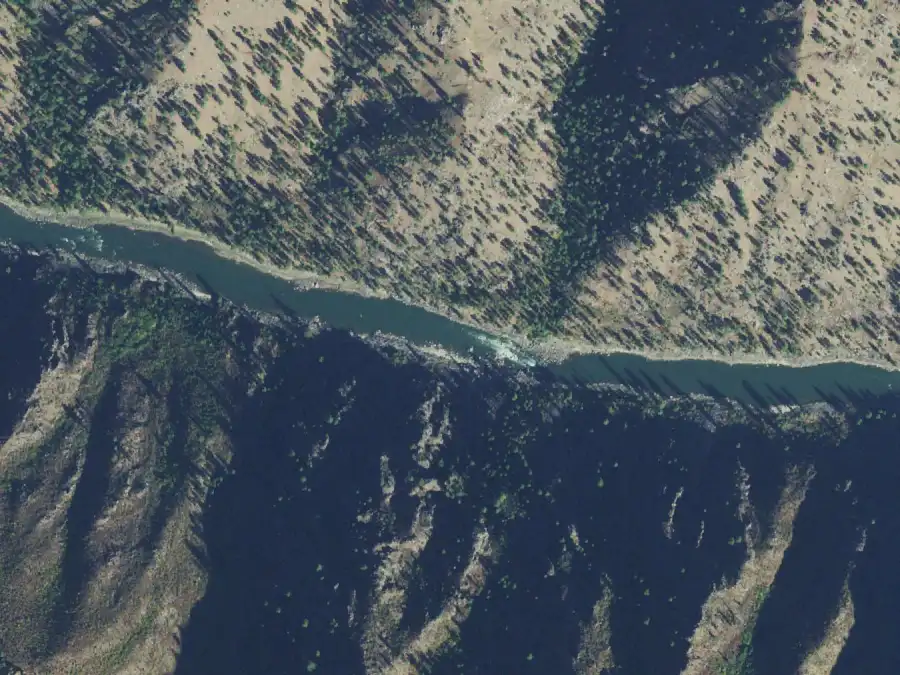
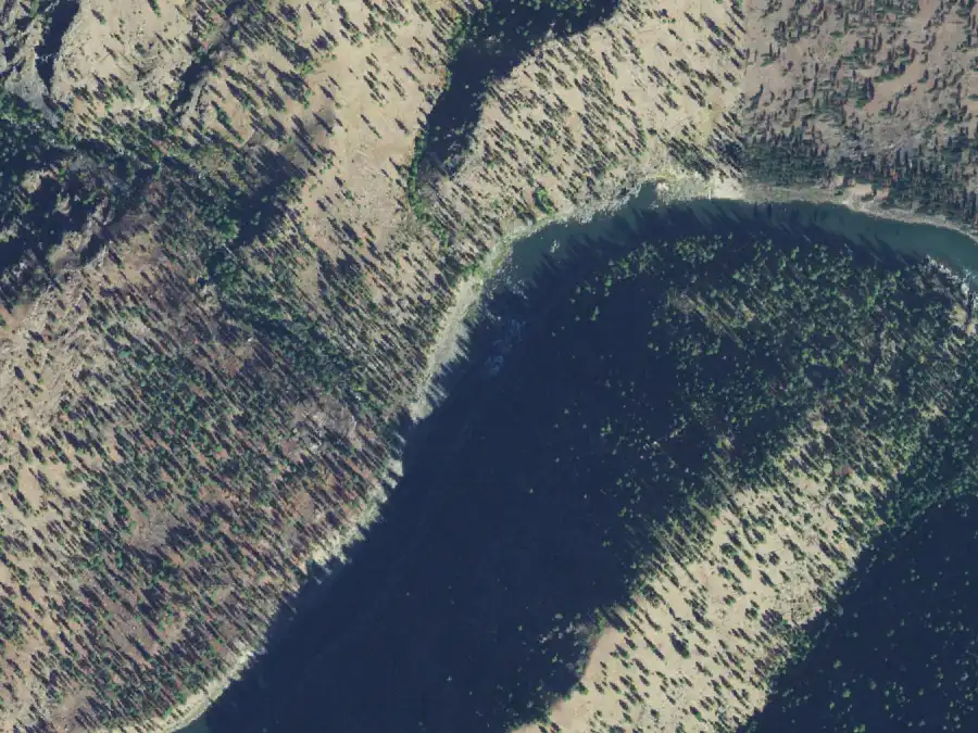
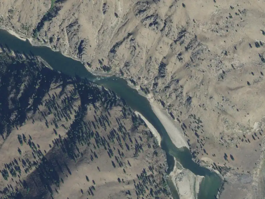
From the air, 30 Sep 2021, White Bird at 2,870 cfs. North is up. The camp is on river left, near the middle of the frame. USDA NAIP, public domain.
Sand beach
Forest Service note: “Low-water sandy beach.”
Mile 4.7 · river rightFirst-come
Legend Creek
Low water
20 people
High water
20 people
An easy landing on a small beach, with the camp up by the trail. The Legend Creek pictographs are about 500 yards back upstream on foot. Watch for poison ivy.
From the air, 30 Sep 2021, White Bird at 2,870 cfs. North is up. The camp is on river right, near the middle of the frame. USDA NAIP, public domain.
Easy landing
Pictographs
Poison ivy
Forest Service note: “Campsite up by trail.”
Mile 6.1 · river rightFirst-come
Spindle Creek
Low water
10 people
High water
10 people
A sloped beach leads up to tent sites on the bench beside the trail. Stone ruins left by 1950s settlers are nearby on the same bench. Small groups only.
From the air, 30 Sep 2021, White Bird at 2,870 cfs. North is up. The camp is on river right, near the middle of the frame. USDA NAIP, public domain.
Bench camp
History
Carry or climb
Forest Service note: “Campsite up by trail.”
Mile 7.9 · river rightFirst-come
Phantom Creek
Low water
20 people
High water
No camp
Two sand beaches split by a band of rock, the upper one the bigger of the two, just above Rainier Rapid.
Low water: The beach keeps growing as the water drops.
High water: No camp. The Forest Service gives it no high-water capacity.
From the air, 30 Sep 2021, White Bird at 2,870 cfs. North is up. The camp is on river right, near the middle of the frame. USDA NAIP, public domain.
Sand beach
Forest Service note: “Large low-water beach.”
Mile 8.6 · river leftLarge reservable
Alder Creek
Low water
30 people
High water
No camp
The first reservable camp on the river: a big, comfortable sand beach on the left bank across from Alder Creek. A natural first night for a large group once the water is down.
High water: No camp. The Forest Service gives it no high-water capacity.
From the air, 30 Sep 2021, White Bird at 2,870 cfs. North is up. The camp is on river left, near the middle of the frame. USDA NAIP, public domain.
Sand beach
Forest Service note: “Large low-water beach.”
Mile 10 · river leftFirst-come
Otter Beach
Low water
10 people
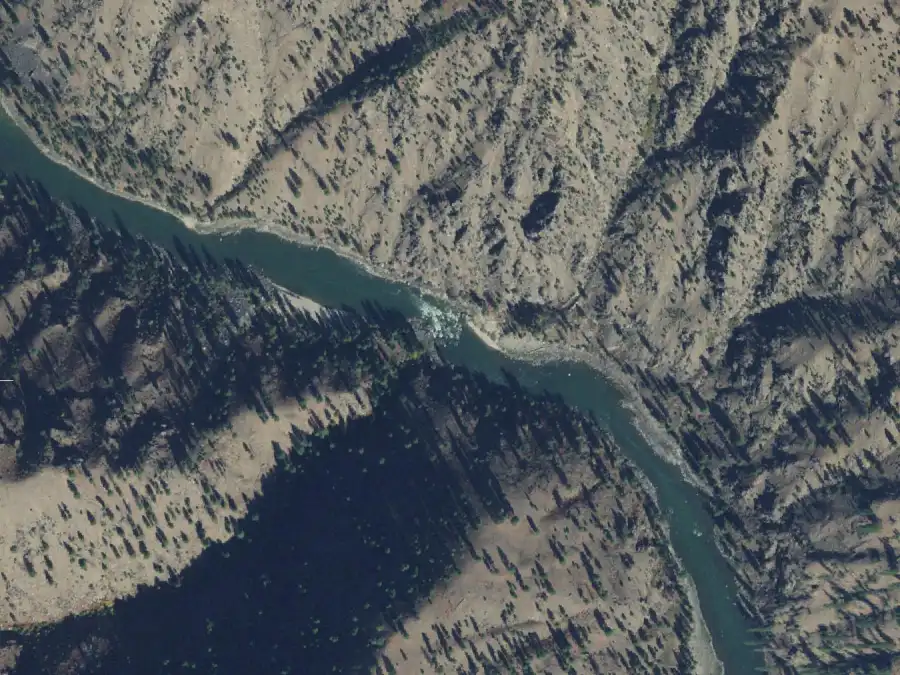
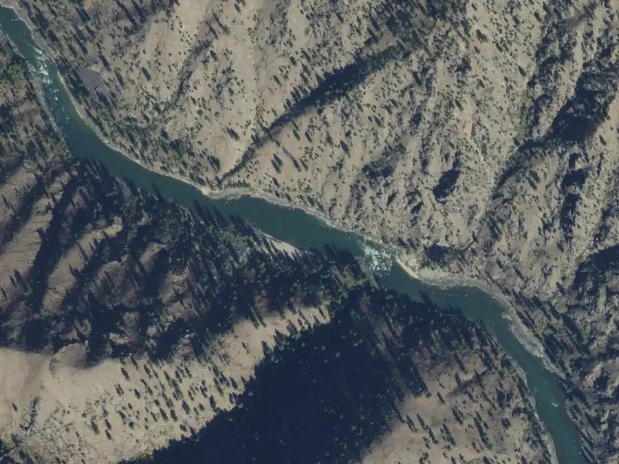
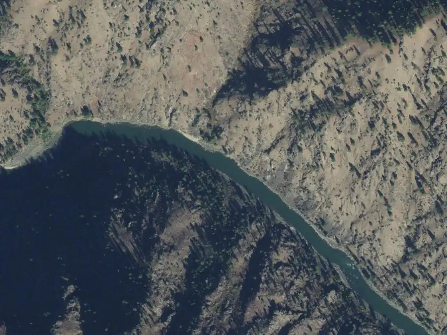
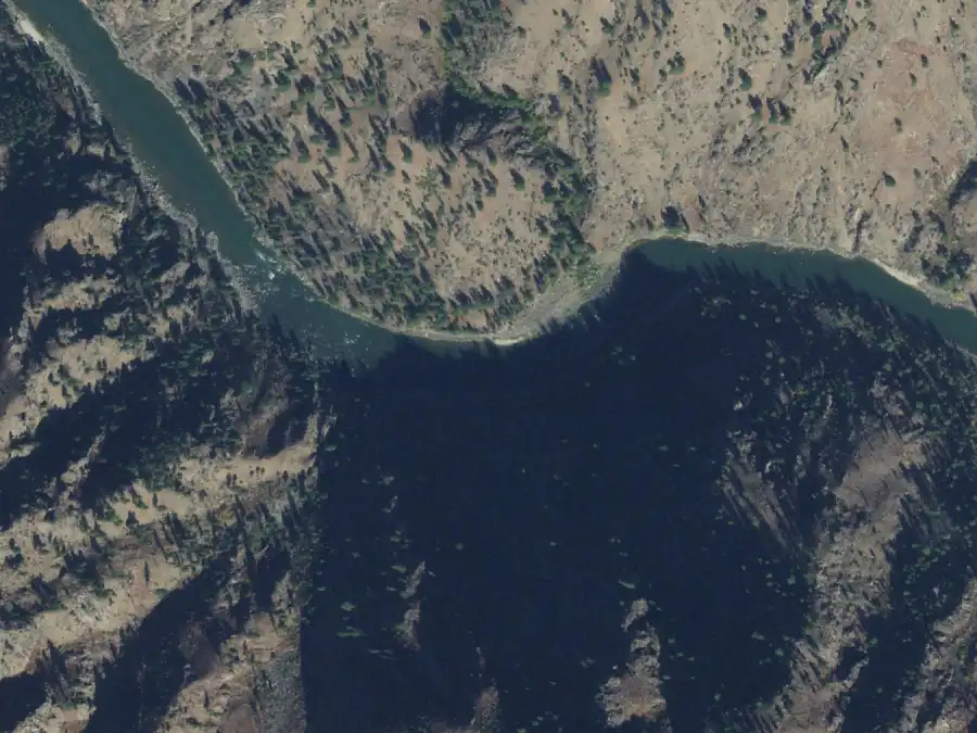
High water
No camp
A small shaded beach at the bottom of a slow-water stretch. Low water only, and small groups only.
High water: No camp. The Forest Service gives it no high-water capacity.
From the air, 30 Sep 2021, White Bird at 2,870 cfs. North is up. The camp is on river left, near the middle of the frame. USDA NAIP, public domain.
Sand beach
Shade
Forest Service note: “Low-water beach, shade.”
Mile 10.2 · river rightFirst-come
Fawn Creek
Low water
20 people
High water
20 people
A shaded camp up on the bench, so it holds the same number of people at any water level.
From the air, 30 Sep 2021, White Bird at 2,870 cfs. North is up. The camp is on river right, near the middle of the frame. USDA NAIP, public domain.
Shade
Bench camp
Forest Service note: “Campsite up on bench.”
Mile 10.6 · river rightSmall-medium reservable
Upper Lantz Bar
Low water
20 people
High water
No camp
The upstream camp at Lantz Bar. The eddy is large, but the Forest Service warns the camp is hard to see from the river, so know where it is before you get there.
High water: No camp. The Forest Service gives it no high-water capacity.
From the air, 30 Sep 2021, White Bird at 2,870 cfs. North is up. The camp is on river right, near the middle of the frame. USDA NAIP, public domain.
Tricky landing
Forest Service note: “Large eddy, hard to see.”
Mile 10.7 · river rightFirst-come
Little Squaw Creek
Low water
30 people
High water
30 people
A camp among the trees on the bench. The landing is a rocky bar upstream of the creek.
High water: The Forest Service calls this a high-water camp, and the rocky landing is easier with more water over it.
From the air, 30 Sep 2021, White Bird at 2,870 cfs. North is up. The camp is on river right, near the middle of the frame. USDA NAIP, public domain.
Shade
Bench camp
Tricky landing
Forest Service note: “High-water camp.”
Mile 11.1 · river rightFirst-come
Lower Lantz Bar
Low water
30 people
High water
30 people
A large bar above a sand beach, immediately above Lantz Rapid. The camp is on the bench, so it stays usable when the beach floods.
From the air, 30 Sep 2021, White Bird at 2,870 cfs. North is up. The camp is on river right, near the middle of the frame. USDA NAIP, public domain.
Sand beach
Bench camp
Forest Service note: “Just above rapid on bench.”
Mile 11.3 · river leftFirst-come
Tag Creek
Low water
30 people
High water
30 people
On the left immediately below Lantz Rapid, in the trees. A comfortable camp once you are up there.
Low water: The climb from the boats is rocky when the river is low.
High water: One of the dependable high-water camps in this stretch.
From the air, 30 Sep 2021, White Bird at 2,870 cfs. North is up. The camp is on river left, near the middle of the frame. USDA NAIP, public domain.
Shade
Bench camp
Carry or climb
Forest Service note: “High-water camp in trees.”
Mile 11.3 · river rightFirst-come
Eddy Beach
Low water
10 people
High water
No camp
A small low-water beach on the right below Lantz Rapid, across from Tag Creek.
High water: No camp. The Forest Service gives it no high-water capacity.
From the air, 30 Sep 2021, White Bird at 2,870 cfs. North is up. The camp is on river right, near the middle of the frame. USDA NAIP, public domain.
Sand beach
Forest Service note: “Low-water beach camp.”
Mile 11.7 · river leftFirst-come
Disappointment Creek
Low water
30 people
High water
30 people
A high bench downstream of the creek, reached by a trail from the river. Holds a big group at any level, but it is a hard carry in summer heat.
From the air, 30 Sep 2021, White Bird at 2,870 cfs. North is up. The camp is on river left, near the middle of the frame. USDA NAIP, public domain.
Bench camp
Carry or climb
Forest Service note: “Trail to high camp.”
Mile 12.9 · river rightSmall-medium reservable
Upper Devil's Teeth
Low water
20 people
High water
No camp
A pebble bar on the right just above Devil's Teeth Rapid. Groups float past it regularly. If you have it reserved, be on the right and looking for it before the rapid.
High water: No camp. The Forest Service gives it no high-water capacity.
From the air, 30 Sep 2021, White Bird at 2,870 cfs. North is up. The camp is on river right, near the middle of the frame. USDA NAIP, public domain.
Tricky landing
Forest Service note: “Pebble bar, easy to miss.”
Mile 13 · river leftLarge reservable
Lower Devil's Teeth
Low water
30 people
High water
30 people
A large, pleasant camp on a high sandy bench below the rapid, good at any level. A pictograph panel is a short scramble downstream.
From the air, 30 Sep 2021, White Bird at 2,870 cfs. North is up. The camp is on river left, near the middle of the frame. USDA NAIP, public domain.
Sand beach
Bench camp
Pictographs
Forest Service note: “High sandy bench.”
Mile 14.3 · river rightFirst-come
Overhang
Low water
10 people
High water
No camp
A small sand beach under the rock overhang that names it, visible from well upstream. Some boaters call it Hangover.
High water: No camp. The Forest Service gives it no high-water capacity.
From the air, 30 Sep 2021, White Bird at 2,870 cfs. North is up. The camp is on river right, near the middle of the frame. USDA NAIP, public domain.
Sand beach
Forest Service note: “Low-water sandy beach.”
Mile 14.7 · river rightFirst-come
Elkhorn Creek
Low water
30 people
High water
30 people
A large, good-looking camp up on the bar. The bank where you tie up is rocky.
From the air, 30 Sep 2021, White Bird at 2,870 cfs. North is up. The camp is on river right, near the middle of the frame. USDA NAIP, public domain.
Bench camp
Forest Service note: “Rocky bank, camp on bar.”
Mile 15.4 · river leftFirst-come
Chamberlin Creek
Low water
10 people
High water
No camp
A small low-water beach. Catch the eddy just above the creek. A trail on the downstream side of the creek climbs toward Chamberlain Basin.
High water: No camp. The Forest Service gives it no high-water capacity.
From the air, 30 Sep 2021, White Bird at 2,870 cfs. North is up. The camp is on river left, near the middle of the frame. USDA NAIP, public domain.
Sand beach
Hiking
Forest Service note: “Small beach in low-water.”
Mile 15.9 · river rightFirst-come
Chukar Beach
Low water
15 people
High water
No camp
A medium low-water beach, a step up in size from the 10-person beaches around it.
High water: No camp. The Forest Service gives it no high-water capacity.
From the air, 30 Sep 2021, White Bird at 2,870 cfs. North is up. The camp is on river right, near the middle of the frame. USDA NAIP, public domain.
Sand beach
Forest Service note: “Low-water beach camp.”
Mile 17 · river rightLarge reservable
Blackadar Hole
Low water
30 people
High water
30 people
A shaded sand beach with the camp on a high bench in a ponderosa grove. Named for Dr. Walt Blackadar of Salmon, known for a solo descent of the Alsek in 1971. A full-size camp at any water level.
From the air, 30 Sep 2021, White Bird at 2,870 cfs. North is up. The camp is on river right, near the middle of the frame. USDA NAIP, public domain.
Sand beach
Shade
Bench camp
History
Forest Service note: “Shaded sandy beach.”
Mile 17.2 · river leftLarge reservable
Motor
Low water
30 people
High water
10 people
A sand beach just above a right-hand bend, with an old engine sitting in the middle of camp. The eddy is small.
High water: Mostly a low-water camp: the Forest Service cuts it from 30 people to 10 at high water.
From the air, 30 Sep 2021, White Bird at 2,870 cfs. North is up. The camp is on river left, near the middle of the frame. USDA NAIP, public domain.
Sand beach
Tricky landing
History
Forest Service note: “Sandy beach, small eddy.”
Mile 17.9 · river rightSmall-medium reservable
Big Squaw Creek
Low water
20 people
High water
10 people
A sand beach with tent sites up on the bar, about a quarter mile below the creek and around the bend. This was the site of the Guth cabins.
High water: Drops from 20 people to 10 at high water.
From the air, 30 Sep 2021, White Bird at 2,870 cfs. North is up. The camp is on river right, near the middle of the frame. USDA NAIP, public domain.
Sand beach
History
Forest Service note: “Sandy beach, sites on bar.”
Mile 19.6 · river rightFirst-come
Upper Corey Bar
Low water
30 people
High water
30 people
A large, rocky camp, partly shaded, that burned in 2000. Land at the upstream end of the bar before the river starts bending left. It sits well apart from the lower camp.
High water: A dependable high-water camp for a big group.
From the air, 30 Sep 2021, White Bird at 2,870 cfs. North is up. The camp is on river right, near the middle of the frame. USDA NAIP, public domain.
Burned
Forest Service note: “Rocky high-water camp.”
Mile 19.7 · river rightFirst-come
Lower Corey Bar
Low water
30 people
High water
No camp
A beach at the lower end of Corey Bar with a difficult approach.
Low water: The beach comes out as the river drops.
High water: No camp. The Forest Service gives it no high-water capacity. No camp at high water, and the landing is fast if you try.
From the air, 30 Sep 2021, White Bird at 2,870 cfs. North is up. The camp is on river right, near the middle of the frame. USDA NAIP, public domain.
Sand beach
Tricky landing
Forest Service note: “Difficult approach, beach.”
Mile 19.9 · river leftFirst-come
Pebble Beach
Low water
10 people
High water
No camp
A small low-water beach on the left, the last camp above Black Canyon. Not to be confused with the larger Pebble Beach at mile 53.2.
High water: No camp. The Forest Service gives it no high-water capacity.
From the air, 30 Sep 2021, White Bird at 2,870 cfs. North is up. The camp is on river left, near the middle of the frame. USDA NAIP, public domain.
Forest Service note: “Small low-water beach.”
Black Canyon to Big Mallard miles 21.4–36.9 · 17 camps
Black Creek Rapid, the Barth hot springs camps, then a quieter stretch down to Bargamin Creek and the Yellowpine and Mallard camps.
Mile 21.4 · river rightFirst-come
Black Canyon Beach
Low water
10 people
High water
No camp
A small beach with an easy landing and a view back upstream into Black Canyon. It is the first camp below Black Creek Rapid, the Class IV that formed in a 2011 debris flow.
High water: No camp. The Forest Service gives it no high-water capacity.
From the air, 30 Sep 2021, White Bird at 2,870 cfs. North is up. The camp is on river right, near the middle of the frame. USDA NAIP, public domain.
Sand beach
Easy landing
Forest Service note: “Small low-water beach.”
Mile 22.6 · river rightFirst-come
Sunny Bar
Low water
30 people
High water
30 people
A rocky landing and a medium carry up to a shaded ponderosa grove on the bench. It is across the river from the Barth hot springs.
Low water: At low water you may still be able to get across to the hot springs from here.
From the air, 30 Sep 2021, White Bird at 2,870 cfs. North is up. The camp is on river right, near the middle of the frame. USDA NAIP, public domain.
Shade
Bench camp
Carry or climb
Tricky landing
Hot springs nearby
Forest Service note: “High camp on bench.”
Mile 22.8 · river leftFirst-come
Hotsprings Camp
Low water
30 people
High water
30 people
The first-come camp on the hot springs side of the river. A steep trail climbs from the boats to the bench. The springs themselves are closed to camping.
From the air, 30 Sep 2021, White Bird at 2,870 cfs. North is up. The camp is on river left, near the middle of the frame. USDA NAIP, public domain.
Bench camp
Carry or climb
Hot springs nearby
Forest Service note: “Steep trail to bench.”
Mile 23.1 · river leftLarge reservable
Barth Camp
Low water
30 people
High water
30 people
The reservable camp around the corner from Barth Hot Springs, and a good one. The price is the landing: strong current and rocks. Boatmen's inscriptions are carved in the rocks near the springs.
Low water: Look for the carved names and dates on the rocks when the river is low.
From the air, 30 Sep 2021, White Bird at 2,870 cfs. North is up. The camp is on river left, near the middle of the frame. USDA NAIP, public domain.
Tricky landing
Hot springs nearby
History
Forest Service note: “Fast rocky approach.”
Mile 23.8 · river rightFirst-come
Sandy Hole
Low water
10 people
High water
No camp
A small beach below a high bench. Often used as the lunch stop after a soak at the hot springs.
High water: No camp. The Forest Service gives it no high-water capacity.
From the air, 30 Sep 2021, White Bird at 2,870 cfs. North is up. The camp is on river right, near the middle of the frame. USDA NAIP, public domain.
Sand beach
Forest Service note: “Small beach, high bench.”
Mile 24.2 · river leftFirst-come
Poor Bar
Low water
30 people
High water
30 people
A big camp reached by a high, rocky approach, downstream of Nixon Creek and on the opposite bank.
High water: A good high-water camp for a full-size group.
From the air, 30 Sep 2021, White Bird at 2,870 cfs. North is up. The camp is on river left, near the middle of the frame. USDA NAIP, public domain.
Bench camp
Carry or climb
Forest Service note: “High rocky approach.”
Mile 24.8 · river leftLarge reservable
Bruin Bar
Low water
30 people
High water
No camp
A large and well-regarded camp behind a rocky approach.
High water: No camp. The Forest Service gives it no high-water capacity. The Forest Service gives it no high-water capacity, and the landing gets hard as flows rise. On an early-season trip, stop upstream and look before you commit.
From the air, 24 Sep 2021, White Bird at 2,850 cfs. North is up. The camp is on river left, near the middle of the frame. USDA NAIP, public domain.
Tricky landing
Forest Service note: “Rocky approach, large.”
Mile 25.9 · river leftSmall-medium reservable
Hancock
Low water
20 people
High water
No camp
A beach in the eddy immediately below Hancock Rapid. Start working left early in the rapid or you will be past it.
High water: No camp. The Forest Service gives it no high-water capacity.
From the air, 24 Sep 2021, White Bird at 2,850 cfs. North is up. The camp is on river left, near the middle of the frame. USDA NAIP, public domain.
Sand beach
Tricky landing
Forest Service note: “Beach in rapid eddy.”
Mile 29.5 · river leftFirst-come
Magpie
Low water
30 people
High water
30 people
A large beach and long a popular camp. It burned in a 2023 wildfire, so expect less shade than older trip reports describe.
From the air, 24 Sep 2021, White Bird at 2,850 cfs. North is up. The camp is on river left, near the middle of the frame. USDA NAIP, public domain.
Sand beach
Burned
Forest Service note: “Large beach, burned in 2023.”
Mile 30.5 · river leftFirst-come
Hida Creek
Low water
10 people
High water
No camp
A small low-water camp with tent sites among the boulders and on the beach. The creek flash-flooded in 2024, so expect it to look different from older descriptions.
High water: No camp. The Forest Service gives it no high-water capacity.
From the air, 24 Sep 2021, White Bird at 2,850 cfs. North is up. The camp is on river left, near the middle of the frame. USDA NAIP, public domain.
Forest Service note: “Creek blew out in 2024.”
Mile 32 · river rightFirst-come
Bargamin
Low water
30 people
High water
30 people
A big camp on a high bench about 50 yards below Bargamin Creek, good at any level. A good trail runs up the creek, and it is an easy walk downstream to scout Bailey Rapid.
Low water: A small beach appears below the bench.
From the air, 25 Sep 2021, White Bird at 2,790 cfs. North is up. The camp is on river right, near the middle of the frame. USDA NAIP, public domain.
Sand beach
Bench camp
Hiking
Forest Service note: “High bench, sandy approach.”
Mile 32.5 · river rightSmall-medium reservable
Bailey Bar
Low water
20 people
High water
No camp
A nice sand beach below Bailey Rapid. Also a popular lunch stop, so expect company at midday.
High water: No camp. The Forest Service gives it no high-water capacity.
From the air, 25 Sep 2021, White Bird at 2,790 cfs. North is up. The camp is on river right, near the middle of the frame. USDA NAIP, public domain.
Sand beach
Forest Service note: “Low-water sandy beach.”
Mile 33.4 · river rightFirst-come
Upper Allison Campsite
Low water
20 people
High water
No camp
A sand beach with a lot of poison ivy. The land above the beach is private, so stay on the sand.
High water: No camp. The Forest Service gives it no high-water capacity.
From the air, 25 Sep 2021, White Bird at 2,790 cfs. North is up. The camp is on river right, near the middle of the frame. USDA NAIP, public domain.
Sand beach
Poison ivy
Visitors, planes or road
Forest Service note: “Sandy beach, poison ivy.”
Mile 33.5 · river rightFirst-come
Allison Ranch Campsite
Low water
30 people
High water
10 people
A large beach below the Allison Ranch, a private inholding with its own airstrip. The ranch jet boat is often parked here.
High water: Shrinks from 30 people to 10 at high water.
From the air, 25 Sep 2021, White Bird at 2,790 cfs. North is up. The camp is on river right, near the middle of the frame. USDA NAIP, public domain.
Sand beach
Visitors, planes or road
Forest Service note: “Large low-water beach.”
Mile 36.7 · river rightFirst-come
Upper Yellowpine
Low water
30 people
High water
30 people
A nice big camp with a carry up from the sand. A good trail leads downstream to a view of Big Mallard Rapid, and wire from the Forest Service's old crank telephone line is still strung through camp.
From the air, 25 Sep 2021, White Bird at 2,790 cfs. North is up. The camp is on river right, near the middle of the frame. USDA NAIP, public domain.
Sand beach
Carry or climb
Hiking
History
Forest Service note: “Sandy beach with carry.”
Mile 36.8 · river rightLarge reservable
Lower Yellowpine
Low water
30 people
High water
30 people
A sand beach just below Upper Yellowpine and just above Big Mallard Rapid. The Forest Service remark calls it a low-water beach but keeps the capacity at 30 for both levels.
From the air, 25 Sep 2021, White Bird at 2,790 cfs. North is up. The camp is on river right, near the middle of the frame. USDA NAIP, public domain.
Sand beach
Forest Service note: “Sandy low-water beach.”
Mile 36.9 · river rightLarge reservable
Big Mallard
Low water
30 people
High water
30 people
A large camp immediately below Big Mallard Rapid and Mallard Creek, good at any level. You run the rapid to get here, so it is a camp for the end of a day, not a place to scout from.
From the air, 25 Sep 2021, White Bird at 2,790 cfs. North is up. The camp is on river right, near the middle of the frame. USDA NAIP, public domain.
Forest Service note: “Large camp after rapid.”
Big Mallard to the South Fork miles 37.5–56.7 · 23 camps
Homestead country: Jim Moore's place, Campbell's Ferry, Buckskin Bill's at Five Mile Bar, and the airstrips and pack bridge around Mackay Bar.
Mile 37.5 · river leftFirst-come
Oakie Groggs
Low water
15 people
High water
15 people
A sandy camp below the riffle, named for the moonshiner Oakie Grogg. Nobody's first choice.
Low water: The carry from the boats is difficult when the river is low.
From the air, 25 Sep 2021, White Bird at 2,790 cfs. North is up. The camp is on river left, near the middle of the frame. USDA NAIP, public domain.
Sand beach
Carry or climb
History
Forest Service note: “Difficult carry at low flows.”
Mile 38.3 · river rightFirst-come
Boiler Hole
Low water
30 people
High water
30 people
A large-group camp on a treed bench. There is a small beach, but the easy landing is on the rocky shoreline beside it. The name comes from a steamboat boiler that washed down from a wreck in Big Mallard.
From the air, 25 Sep 2021, White Bird at 2,790 cfs. North is up. The camp is on river right, near the middle of the frame. USDA NAIP, public domain.
Sand beach
Shade
Bench camp
History
Forest Service note: “Sandy beach and shade.”
Mile 41.3 · river leftFirst-come
Little Trout Creek
Low water
10 people
High water
No camp
A small low-water camp tucked among large boulders.
High water: No camp. The Forest Service gives it no high-water capacity.
From the air, 21 Sep 2021, White Bird at 2,900 cfs. North is up. The camp is on river left, near the middle of the frame. USDA NAIP, public domain.
Forest Service note: “Small camp, large rocks.”
Mile 42.7 · river leftFirst-come
Easter Egg
Low water
10 people
High water
No camp
A small low-water beach on the left near Campbell's Ferry. The camp is the beach downstream of the rock outcrop, not the bar above it, which is the one people usually pull into by mistake.
High water: No camp. The Forest Service gives it no high-water capacity.
From the air, 21 Sep 2021, White Bird at 2,900 cfs. North is up. The camp is on river left, near the middle of the frame. USDA NAIP, public domain.
Sand beach
Forest Service note: “Low-water camp.”
Mile 42.8 · river rightSmall-medium reservable
Jim Moore
Low water
20 people
High water
No camp
A mix of sand and cobble just below the Jim Moore Place, a prospector's homestead with a cluster of buildings he put up himself. Other parties stop here to walk up to the cabins, so expect to share the beach during the day.
High water: No camp. The Forest Service gives it no high-water capacity.
From the air, 21 Sep 2021, White Bird at 2,900 cfs. North is up. The camp is on river right, near the middle of the frame. USDA NAIP, public domain.
Sand beach
History
Visitors, planes or road
Forest Service note: “Low-water beach camp.”
Mile 43.2 · river leftSmall-medium reservable
Ruff Creek
Low water
10 people
High water
10 people
One of two 10-person reservable camps, and the only one that keeps its capacity at high water. A good request for a small private trip that wants a guaranteed site in this stretch.
From the air, 21 Sep 2021, White Bird at 2,900 cfs. North is up. The camp is on river left, near the middle of the frame. USDA NAIP, public domain.
Sand beach
Forest Service note: “Small beach camp.”
Mile 44 · river rightLarge reservable
Groundhog Bar
Low water
30 people
High water
30 people
A large camp at Whiplash Rapid. The eddy is on the right, in front of the big rock that gives the rapid its teeth, and it is easy to wash past.
High water: The Forest Service lists 30 at high water, but Whiplash becomes a very large rapid at high flows and at least one guide calls the camp unreachable then. Scout before you count on it.
Sources disagree: The Forest Service lists a high-water capacity of 30. GoRafting says the camp is not accessible at high flows.
From the air, 21 Sep 2021, White Bird at 2,900 cfs. North is up. The camp is on river right, near the middle of the frame. USDA NAIP, public domain.
Tricky landing
Forest Service note: “Large camp above rapid.”
Mile 45.2 · river rightLarge reservable
Reed Creek
Low water
30 people
High water
No camp
A sandy camp just below a pretty creek, with the river trail close by.
High water: No camp. The Forest Service gives it no high-water capacity.
From the air, 21 Sep 2021, White Bird at 2,900 cfs. North is up. The camp is on river right, near the middle of the frame. USDA NAIP, public domain.
Sand beach
Hiking
Forest Service note: “Sandy camp, trail access.”
Mile 46.3 · river rightFirst-come
Gaines Bar
Low water
20 people
High water
20 people
A rocky landing with no eddy, then a short carry to a grassy bench where you camp in the field between the buildings. Not often used.
From the air, 21 Sep 2021, White Bird at 2,900 cfs. North is up. The camp is on river right, near the middle of the frame. USDA NAIP, public domain.
Shade
Bench camp
Tricky landing
History
Forest Service note: “Bench camp in trees.”
Mile 46.6 · river rightLarge reservable
Rhett Creek
Low water
30 people
High water
30 people
A large, exposed beach just below a rapid and just above Rhett Creek. Plenty of room and very little shade.
From the air, 21 Sep 2021, White Bird at 2,900 cfs. North is up. The camp is on river right, near the middle of the frame. USDA NAIP, public domain.
Sand beach
Little or no shade
Forest Service note: “Beach just after rapid.”
Mile 49 · river rightSmall-medium reservable
Paine Creek
Low water
20 people
High water
No camp
A small sand beach at the foot of a cliff with an easy landing and access to the trail.
High water: No camp. The Forest Service gives it no high-water capacity.
From the air, 25 Sep 2021, White Bird at 2,790 cfs. North is up. The camp is on river right, near the middle of the frame. USDA NAIP, public domain.
Sand beach
Easy landing
Hiking
Forest Service note: “Small beach, trail access.”
Mile 49.9 · river rightFirst-come
Boise Bar
Low water
20 people
High water
No camp
A low-water sand beach that changes a lot from one year to the next. Have a backup.
High water: No camp. The Forest Service gives it no high-water capacity.
From the air, 25 Sep 2021, White Bird at 2,790 cfs. North is up. The camp is on river right, near the middle of the frame. USDA NAIP, public domain.
Sand beach
Forest Service note: “Sandy low-water beach.”
Mile 51 · river rightFirst-come
No Man Beach
Low water
10 people
High water
No camp
A small sloped beach, part sand and part rock, with an easy landing and no shade. Little used.
High water: No camp. The Forest Service gives it no high-water capacity.
From the air, 21 Sep 2021, White Bird at 2,900 cfs. North is up. The camp is on river right, near the middle of the frame. USDA NAIP, public domain.
Sand beach
Easy landing
Little or no shade
Forest Service note: “Sandy sloped beach.”
Mile 51.2 · river rightSmall-medium reservable
Teepee Creek
Low water
10 people
High water
No camp
A small reservable sand beach. The grave marker in camp is for Jack Ranger, who drowned crossing the river here in 1928.
High water: No camp. The Forest Service gives it no high-water capacity.
From the air, 21 Sep 2021, White Bird at 2,900 cfs. North is up. The camp is on river right, near the middle of the frame. USDA NAIP, public domain.
Sand beach
History
Forest Service note: “Sandy low-water beach.”
Mile 52.6 · river leftFirst-come
Five Mile Creek
Low water
10 people
High water
No camp
A small beach under a cliff with an easy cobble landing and a grassy, shaded spot to camp. Buckskin Bill's, the Five Mile Bar homestead with a small museum and store, is a walk from here.
High water: No camp. The Forest Service gives it no high-water capacity.
Sources disagree: GoRafting places this camp on river right. The Forest Service list, followed here, has it on the left.
From the air, 21 Sep 2021, White Bird at 2,900 cfs. North is up. The camp is on river left, near the middle of the frame. USDA NAIP, public domain.
Easy landing
Shade
History
Forest Service note: “Small beach under cliff.”
Mile 53.2 · river leftFirst-come
Pebble Beach
Low water
30 people
High water
30 people
A pretty camp on a high bench above a small beach, with some shade at the top. The second Pebble Beach on the river, and the larger one.
Low water: The beach is steep when the river is low.
From the air, 21 Sep 2021, White Bird at 2,900 cfs. North is up. The camp is on river left, near the middle of the frame. USDA NAIP, public domain.
Bench camp
Shade
Carry or climb
Forest Service note: “High bench, small beach.”
Mile 53.4 · river leftLarge reservable
Haynie Bar
Low water
30 people
High water
30 people
A large camp with a tricky, rocky approach. Aim for the big boulder sitting at the water's edge. The tent sites are on the bar just upstream of it.
From the air, 21 Sep 2021, White Bird at 2,900 cfs. North is up. The camp is on river left, near the middle of the frame. USDA NAIP, public domain.
Tricky landing
Forest Service note: “Tricky rocky approach.”
Mile 53.7 · river rightFirst-come
Bluebird Hole
Low water
30 people
High water
30 people
A large beach with an easy landing and a long, narrow, grassy flat shaded by pines. Pull in before the river bends and the current picks up. One of the best first-come camps for a big group.
From the air, 21 Sep 2021, White Bird at 2,900 cfs. North is up. The camp is on river right, near the middle of the frame. USDA NAIP, public domain.
Sand beach
Shade
Easy landing
Forest Service note: “Large beach, flat area.”
Mile 54.1 · river rightFirst-come
Wilson Bar
Low water
20 people
High water
20 people
A steep bench beside the Wilson Bar airstrip, the one public airstrip in the river corridor. Also called Jackson Bar. Expect planes, and a climb.
From the air, 21 Sep 2021, White Bird at 2,900 cfs. North is up. The camp is on river right, near the middle of the frame. USDA NAIP, public domain.
Bench camp
Carry or climb
Visitors, planes or road
Forest Service note: “Steep bench near airstrip.”
Mile 55.4 · river rightLarge reservable
Mackay Bar Bridge
Low water
30 people
High water
30 people
A sunny sand beach by the Mackay Bar pack bridge. A road reaches the river here, and trucks are often parked nearby, so it is the least wild of the reservable camps.
From the air, 21 Sep 2021, White Bird at 2,900 cfs. North is up. The camp is on river right, near the middle of the frame. USDA NAIP, public domain.
Sand beach
Little or no shade
Visitors, planes or road
Forest Service note: “Sandy beach, sunny camp.”
Mile 55.7 · river leftFirst-come
Deadman's Hole
Low water
30 people
High water
30 people
A camp near the Mackay Bar Ranch airstrip. The Forest Service sums it up in three words: air traffic overhead.
From the air, 21 Sep 2021, White Bird at 2,900 cfs. North is up. The camp is on river left, near the middle of the frame. USDA NAIP, public domain.
Visitors, planes or road
Forest Service note: “Air traffic overhead.”
Mile 56.5 · river leftFirst-come
South Fork
Low water
No camp
High water
30 people
The only camp on the list that exists at high water and not at low. It sits at the mouth of the South Fork of the Salmon, technically on the South Fork itself, and it is hard to get into at any level.
Low water: No camp at low water. The Forest Service calls it impossible at low water.
High water: A high-water option for a full-size group, if you can make the landing.
From the air, 21 Sep 2021, White Bird at 2,900 cfs. North is up. The camp is on river left, near the middle of the frame. USDA NAIP, public domain.
Tricky landing
Forest Service note: “Impossible at low-water.”
Mile 56.7 · river leftFirst-come
South Fork Island
Low water
20 people
High water
No camp
A small, sunny beach at the bottom of the island below the South Fork confluence. The eddy comes up fast as you round the corner.
High water: No camp. The Forest Service gives it no high-water capacity.
From the air, 21 Sep 2021, White Bird at 2,900 cfs. North is up. The camp is on river left, near the middle of the frame. USDA NAIP, public domain.
Sand beach
Little or no shade
Tricky landing
Forest Service note: “Small sunny beach.”
South Fork to Long Tom Bar miles 57.8–75.7 · 24 camps
Below the South Fork the river is bigger and the canyon hotter. Mostly sand beaches, most of them low-water camps, and the last reservable sites before the take-outs.
Mile 57.8 · river rightFirst-come
Cove Creek
Low water
10 people
High water
No camp
A small sand beach against a cliff with an easy landing.
High water: No camp. The Forest Service gives it no high-water capacity.
Sources disagree: GoRafting places this camp on river left. The Forest Service list, followed here, has it on the right.
From the air, 21 Sep 2021, White Bird at 2,900 cfs. North is up. The camp is on river right, near the middle of the frame. USDA NAIP, public domain.
Sand beach
Easy landing
Forest Service note: “Low-water sandy beach.”
Mile 58.1 · river rightFirst-come
Red Harland Hole
Low water
10 people
High water
No camp
A small camp at the top of a steep sand beach, named for Henry "Red" Harlan, a longtime river hermit.
Low water: A cobble beach at the upper end opens up more room.
High water: No camp. The Forest Service gives it no high-water capacity.
From the air, 21 Sep 2021, White Bird at 2,900 cfs. North is up. The camp is on river right, near the middle of the frame. USDA NAIP, public domain.
Sand beach
Carry or climb
History
Forest Service note: “Low-water sandy beach.”
Mile 58.6 · river leftFirst-come
Upper Pine Tree Hole
Low water
10 people
High water
No camp
A small camp perched at the top of a steep, sloped sand beach.
High water: No camp. The Forest Service gives it no high-water capacity.
From the air, 21 Sep 2021, White Bird at 2,900 cfs. North is up. The camp is on river left, near the middle of the frame. USDA NAIP, public domain.
Sand beach
Carry or climb
Forest Service note: “Small sloped sandy beach.”
Mile 59.6 · river leftFirst-come
Lower Pine Tree Hole
Low water
15 people
High water
No camp
Much like its upstream twin: a small camp at the top of a steep sand beach, with room for a few more people.
High water: No camp. The Forest Service gives it no high-water capacity.
Sources disagree: GoRafting places this camp on river right. The Forest Service list, followed here, has it on the left.
From the air, 21 Sep 2021, White Bird at 2,900 cfs. North is up. The camp is on river left, near the middle of the frame. USDA NAIP, public domain.
Sand beach
Carry or climb
Forest Service note: “Small sloped sandy beach.”
Mile 60.3 · river rightSmall-medium reservable
Hungry Bar
Low water
20 people
High water
No camp
A sloping sand beach with more room than most small camps and a few pines at the upper end for shade.
High water: No camp. The Forest Service gives it no high-water capacity.
From the air, 21 Sep 2021, White Bird at 2,900 cfs. North is up. The camp is on river right, near the middle of the frame. USDA NAIP, public domain.
Sand beach
Shade
Forest Service note: “Sandy beach camp.”
Mile 60.6 · river leftLarge reservable
Mann Creek
Low water
30 people
High water
30 people
A large reservable camp. The Forest Service's one piece of advice is to approach the beach from below.
From the air, 21 Sep 2021, White Bird at 2,900 cfs. North is up. The camp is on river left, near the middle of the frame. USDA NAIP, public domain.
Sand beach
Tricky landing
Forest Service note: “Access beach from below.”
Mile 61 · river leftLarge reservable
Warren Creek
Low water
30 people
High water
30 people
A large reservable camp at Warren Creek with a rocky approach and hiking out of camp. Good at any level.
From the air, 21 Sep 2021, White Bird at 2,900 cfs. North is up. The camp is on river left, near the middle of the frame. USDA NAIP, public domain.
Tricky landing
Hiking
Forest Service note: “Rocky approach, hiking.”
Mile 61.6 · river rightLarge reservable
Swimming Hole
Low water
30 people
High water
30 people
A sand beach with a grassy flat behind it, also known as Warren Bar. With Mann Creek and Warren Creek it makes three large reservable camps inside a single mile.
From the air, 21 Sep 2021, White Bird at 2,900 cfs. North is up. The camp is on river right, near the middle of the frame. USDA NAIP, public domain.
Sand beach
Forest Service note: “Sandy beach, grassy flat.”
Mile 62.2 · river rightFirst-come
Indian Creek Bar
Low water
20 people
High water
20 people
A nice camp just below the creek, with a sand beach and an upper bench. A shady trail heads up Indian Creek toward the ranch.
From the air, 21 Sep 2021, White Bird at 2,900 cfs. North is up. The camp is on river right, near the middle of the frame. USDA NAIP, public domain.
Sand beach
Bench camp
Hiking
Shade
Forest Service note: “Sandy beach, upper bench.”
Mile 62.4 · river leftFirst-come
James Creek
Low water
30 people
High water
No camp
A nice sand beach with a little shade, and a flat grassy field with trees to camp in. Low water only, but big when it is there.
High water: No camp. The Forest Service gives it no high-water capacity.
From the air, 21 Sep 2021, White Bird at 2,900 cfs. North is up. The camp is on river left, near the middle of the frame. USDA NAIP, public domain.
Sand beach
Shade
Forest Service note: “Low-water sandy beach.”
Mile 65.2 · river leftLarge reservable
Rabbit Creek
Low water
30 people
High water
No camp
A large low-water sand beach, and the last reservable camp above the Polly Bemis Ranch, the national historic site a short way downstream on the same bank.
High water: No camp. The Forest Service gives it no high-water capacity.
From the air, 21 Sep 2021, White Bird at 2,900 cfs. North is up. The camp is on river left, near the middle of the frame. USDA NAIP, public domain.
Sand beach
History
Forest Service note: “Low-water sandy beach.”
Mile 67.2 · river rightFirst-come
Alex Meadows
Low water
10 people
High water
No camp
A nice beach camp flanked by a few big ponderosas. The Forest Service caps it at 10 people.
High water: No camp. The Forest Service gives it no high-water capacity.
From the air, 21 Sep 2021, White Bird at 2,900 cfs. North is up. The camp is on river right, near the middle of the frame. USDA NAIP, public domain.
Sand beach
Shade
Forest Service note: “Sandy beach, shade.”
Mile 67.8 · river rightFirst-come
Basin Creek
Low water
10 people
High water
No camp
A steep sand beach with no shade. Hot in the afternoon.
High water: No camp. The Forest Service gives it no high-water capacity.
From the air, 21 Sep 2021, White Bird at 2,900 cfs. North is up. The camp is on river right, near the middle of the frame. USDA NAIP, public domain.
Sand beach
Carry or climb
Little or no shade
Forest Service note: “Steep sandy beach.”
Mile 68.7 · river rightFirst-come
Whiskey Bob
Low water
10 people
High water
No camp
A small low-water sand beach. Neither source says more about it than that.
High water: No camp. The Forest Service gives it no high-water capacity.
From the air, 21 Sep 2021, White Bird at 2,900 cfs. North is up. The camp is on river right, near the middle of the frame. USDA NAIP, public domain.
Sand beach
Forest Service note: “Low-water sandy beach.”
Mile 69.1 · river rightLarge reservable
Upper Bull Creek
Low water
30 people
High water
No camp
A large low-water sand beach above Bull Creek. A hot camp: plan the kitchen around the afternoon sun.
High water: No camp. The Forest Service gives it no high-water capacity.
From the air, 21 Sep 2021, White Bird at 2,900 cfs. North is up. The camp is on river right, near the middle of the frame. USDA NAIP, public domain.
Sand beach
Little or no shade
Forest Service note: “Low-water sandy beach.”
Mile 69.3 · river rightFirst-come
Lower Bull Creek
Low water
30 people
High water
30 people
A nice sloping sand beach with a short carry to a flat bench, and a freshwater spring with a small sitting pool. Good hiking upstream toward Upper Bull. Poison ivy grows near the creek. A strong first-come choice for a big group, and it works at any level.
From the air, 21 Sep 2021, White Bird at 2,900 cfs. North is up. The camp is on river right, near the middle of the frame. USDA NAIP, public domain.
Sand beach
Bench camp
Hiking
Poison ivy
Forest Service note: “Sloping beach, flat bench.”
Mile 71.1 · river leftLarge reservable
California Creek
Low water
30 people
High water
10 people
A large, popular camp on a sprawling beach just below California Creek.
High water: Shrinks from 30 people to 10 at high water.
From the air, 21 Sep 2021, White Bird at 2,900 cfs. North is up. The camp is on river left, near the middle of the frame. USDA NAIP, public domain.
Sand beach
Forest Service note: “Moderate low-water beach.”
Mile 71.6 · river rightSmall-medium reservable
T-Bone Creek
Low water
20 people
High water
No camp
A moderate low-water beach just below California Creek, on the opposite bank.
High water: No camp. The Forest Service gives it no high-water capacity.
From the air, 21 Sep 2021, White Bird at 2,900 cfs. North is up. The camp is on river right, near the middle of the frame. USDA NAIP, public domain.
Sand beach
Forest Service note: “Moderate low-water beach.”
Mile 72.8 · river leftLarge reservable
Maxwell Bar
Low water
30 people
High water
No camp
A very large beach with little or no shade. The camp to ask for with kids along: there is a big sand dune to jump off into the river.
High water: No camp. The Forest Service gives it no high-water capacity.
From the air, 21 Sep 2021, White Bird at 2,900 cfs. North is up. The camp is on river left, near the middle of the frame. USDA NAIP, public domain.
Sand beach
Little or no shade
Good with kids
Forest Service note: “Large low water beach.”
Mile 73.9 · river rightFirst-come
Upper Sheep Creek
Low water
30 people
High water
30 people
A steep, medium-sized beach with more room on the flat bench above. The eddy is below a jumble of boulders. No afternoon shade.
From the air, 21 Sep 2021, White Bird at 2,900 cfs. North is up. The camp is on river right, near the middle of the frame. USDA NAIP, public domain.
Sand beach
Bench camp
Little or no shade
Forest Service note: “Steep beach, flat bench.”
Mile 74 · river rightFirst-come
Middle Sheep
Low water
20 people
High water
No camp
A beach camp upstream of Sheep Creek with an easy landing on cobble.
High water: No camp. The Forest Service gives it no high-water capacity.
From the air, 21 Sep 2021, White Bird at 2,900 cfs. North is up. The camp is on river right, near the middle of the frame. USDA NAIP, public domain.
Sand beach
Easy landing
Forest Service note: “Low-water beach.”
Mile 74.1 · river rightFirst-come
Lower Sheep Creek
Low water
30 people
High water
No camp
A beach of mixed rock and sand just below Sheep Creek that gets late-afternoon shade, which is rare this far down the canyon.
High water: No camp. The Forest Service gives it no high-water capacity.
From the air, 21 Sep 2021, White Bird at 2,900 cfs. North is up. The camp is on river right, near the middle of the frame. USDA NAIP, public domain.
Sand beach
Shade
Forest Service note: “Small rocky sandy beach.”
Mile 75.2 · river leftFirst-come
Slide Beach
Low water
10 people
High water
No camp
A small beach with a carry up the slope and some shade.
High water: No camp. The Forest Service gives it no high-water capacity.
From the air, 21 Sep 2021, White Bird at 2,900 cfs. North is up. The camp is on river left, near the middle of the frame. USDA NAIP, public domain.
Sand beach
Carry or climb
Shade
Forest Service note: “Low-water sandy beach.”
Mile 75.7 · river rightSmall-medium reservable
Johnson Creek Campsite
Low water
20 people
High water
20 people
The last reservable camp on the river, a steep sand beach two miles above Long Tom Bar, good for 20 people at any level. A sensible last night if you want a short float to the Vinegar Creek or Carey Creek ramp in the morning.
From the air, 21 Sep 2021, White Bird at 2,900 cfs. North is up. The camp is on river right, near the middle of the frame. USDA NAIP, public domain.
Sand beach
Carry or climb
Forest Service note: “Steep sandy beach.”
The aerials, and the photos still missing
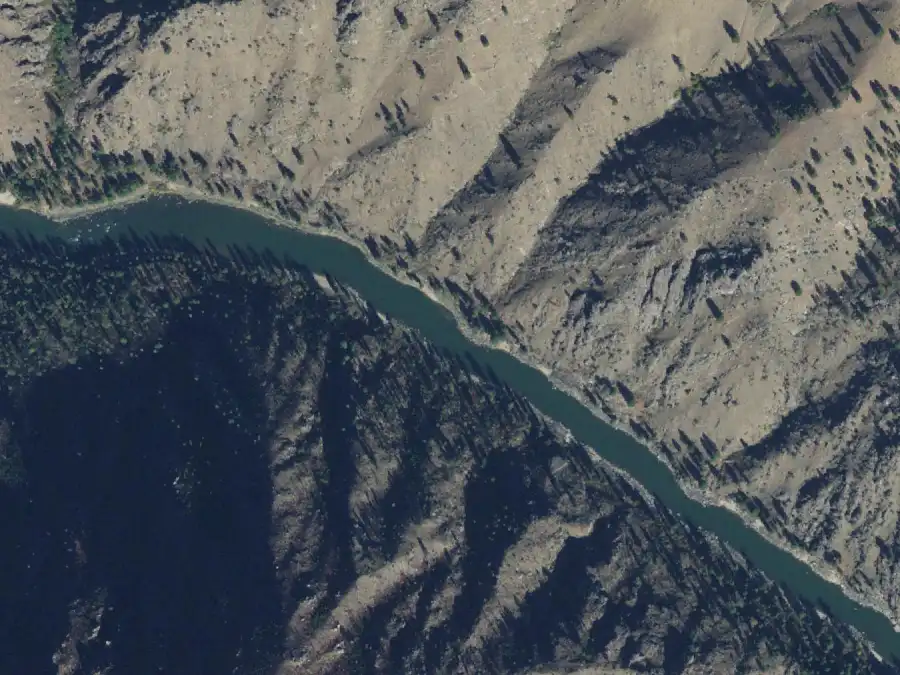
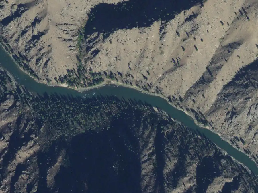
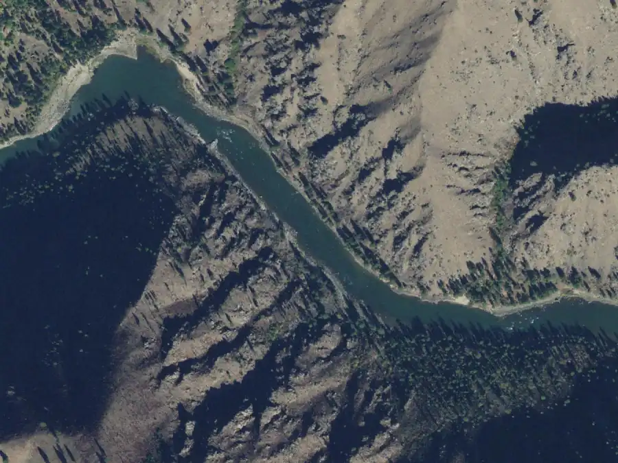
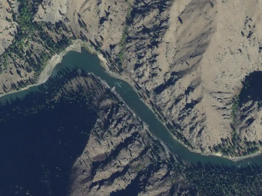
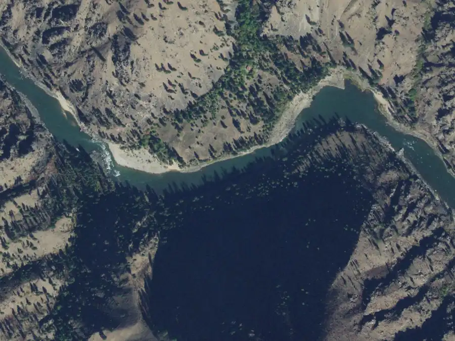
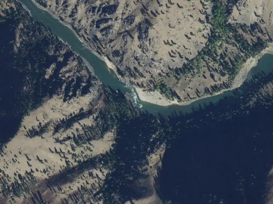
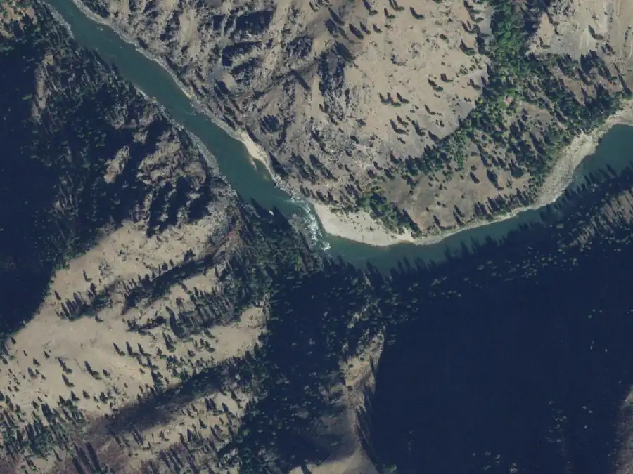
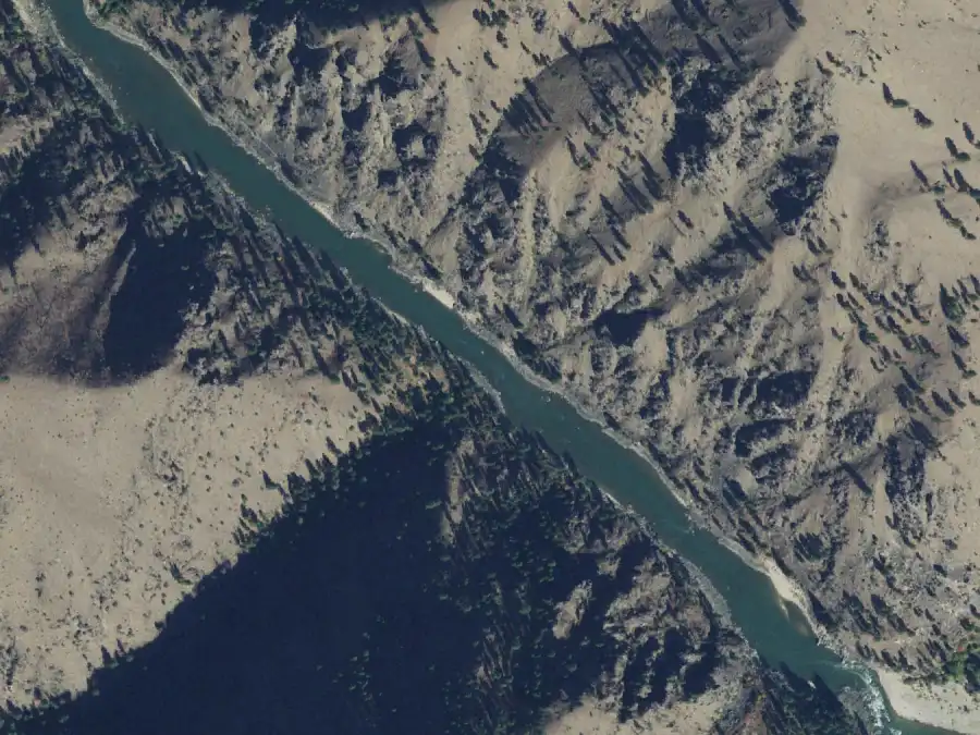
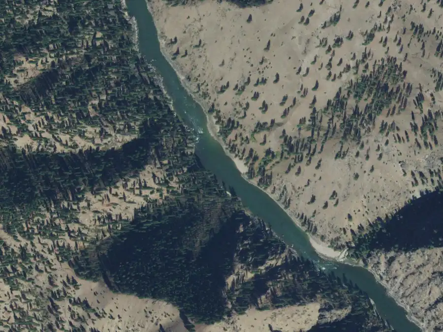
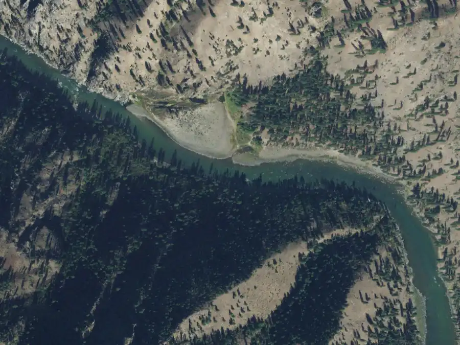
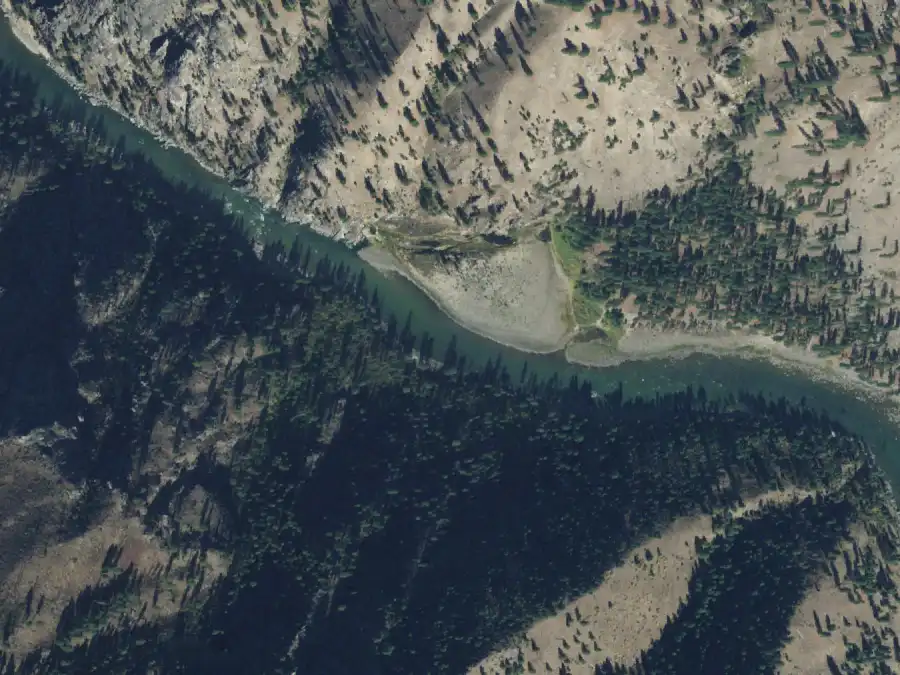
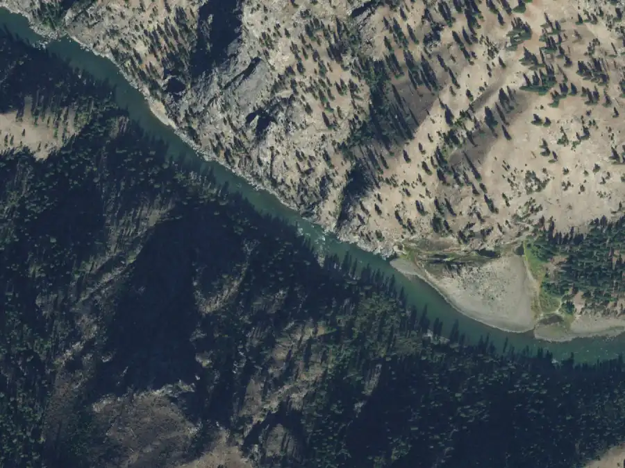
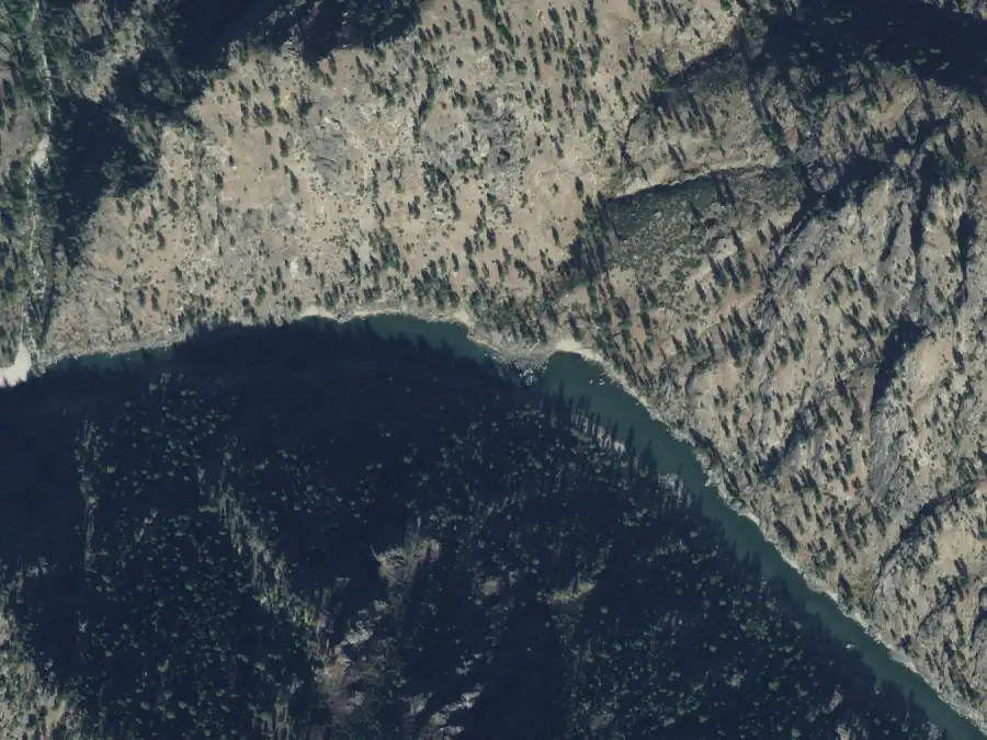
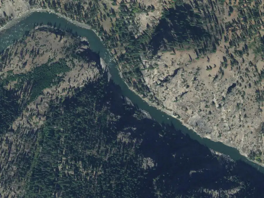
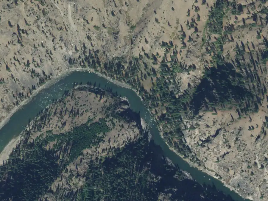
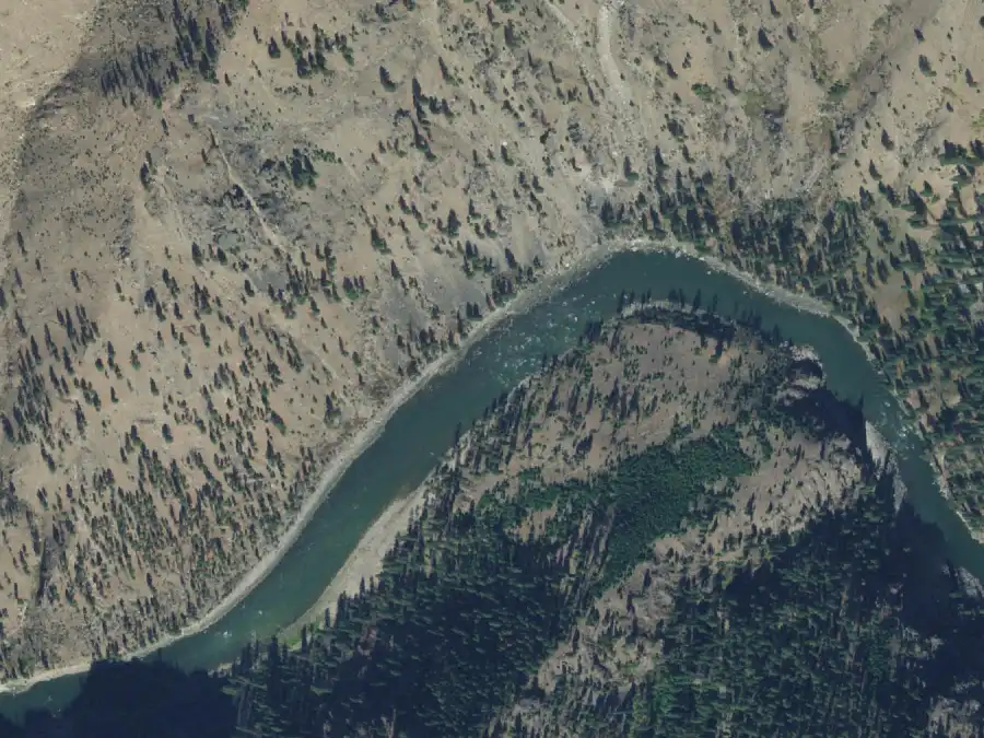
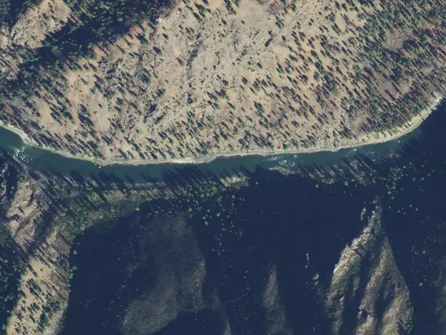
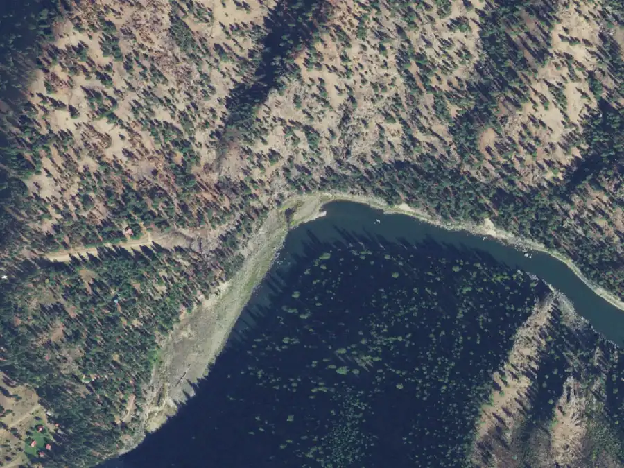
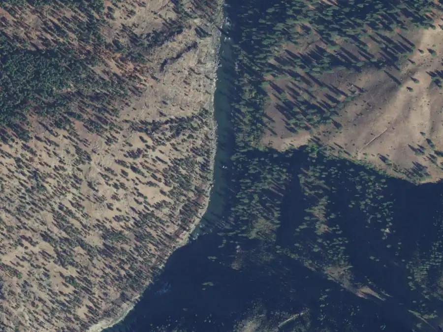
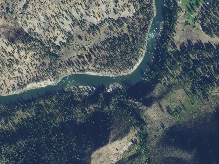
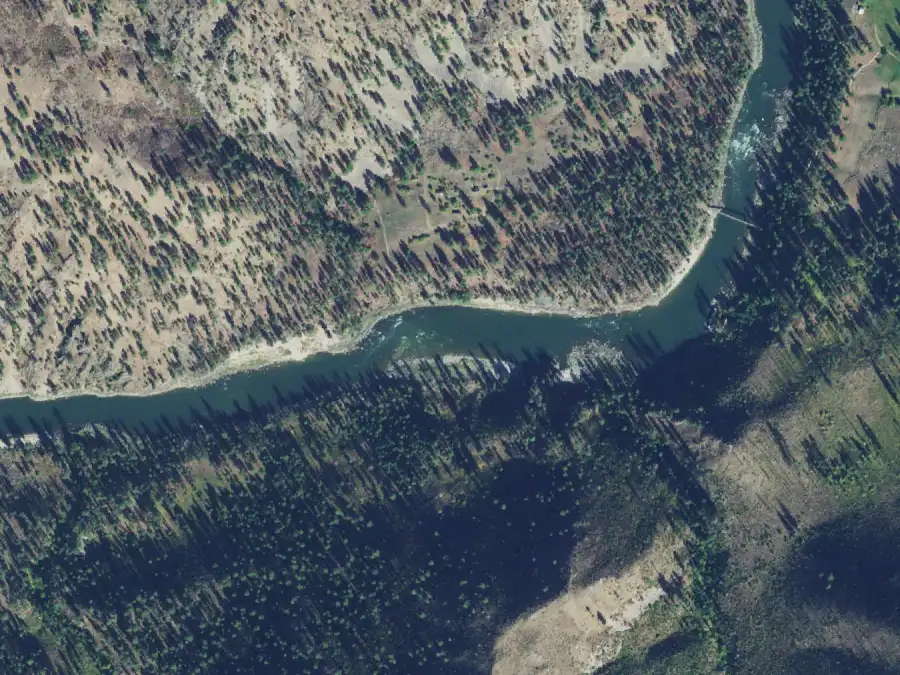
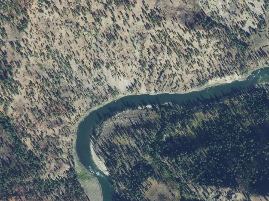
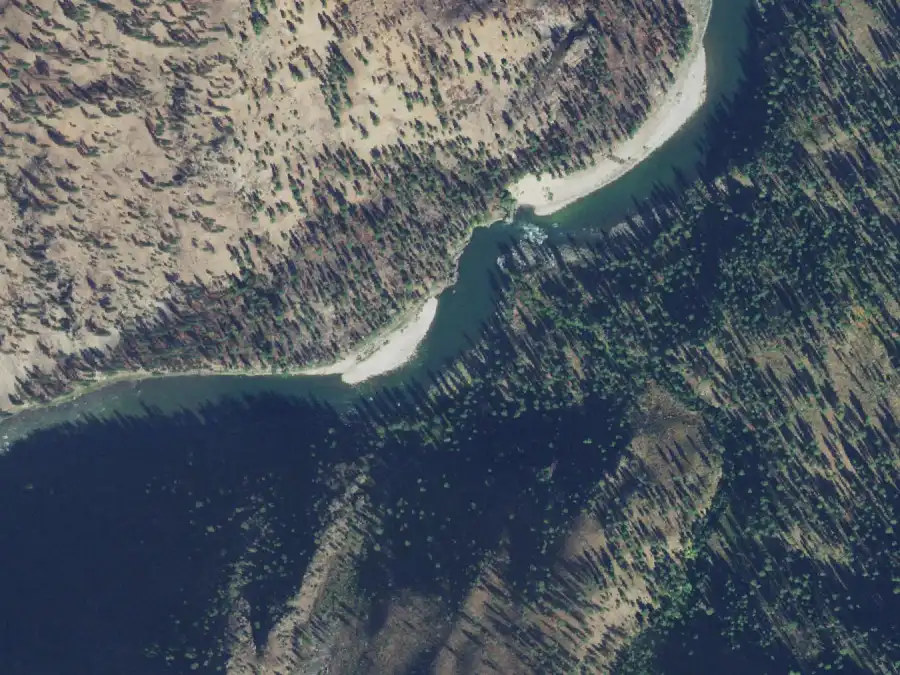
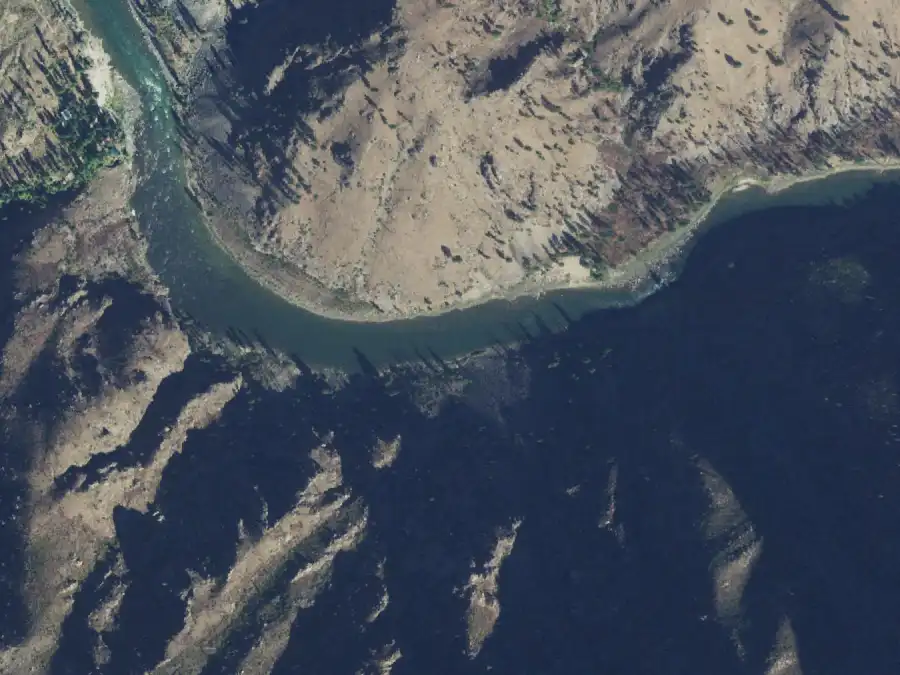
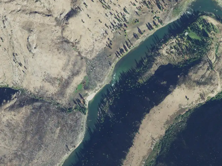
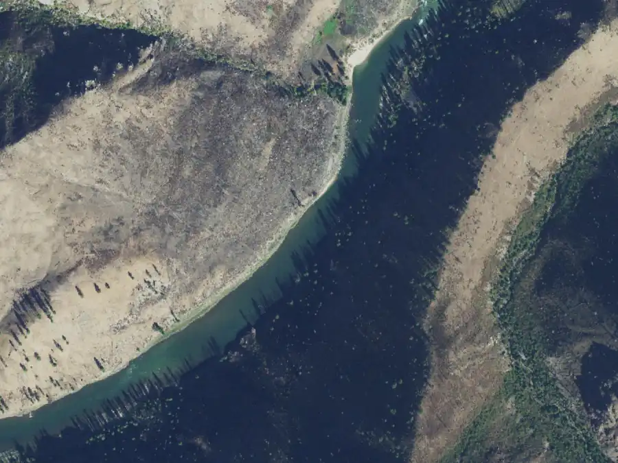
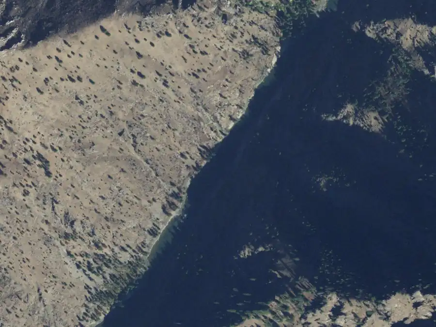
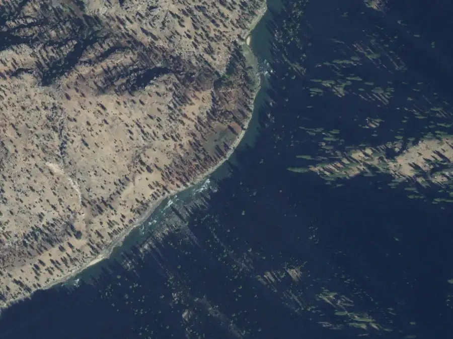
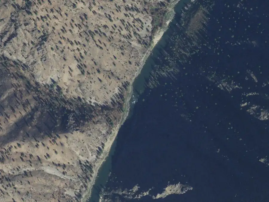
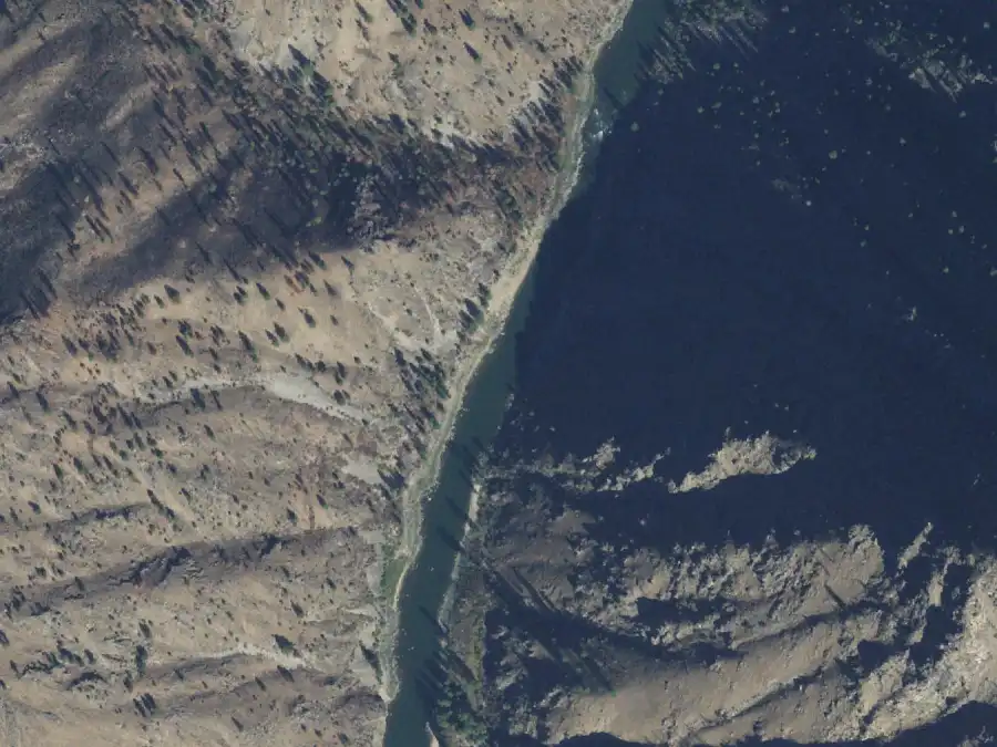
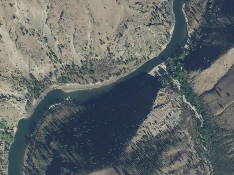
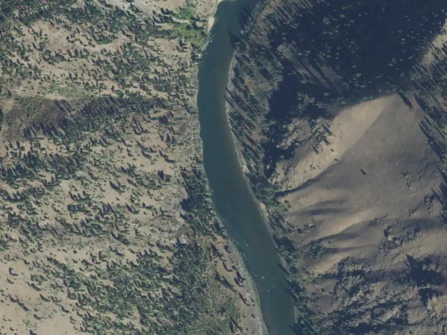
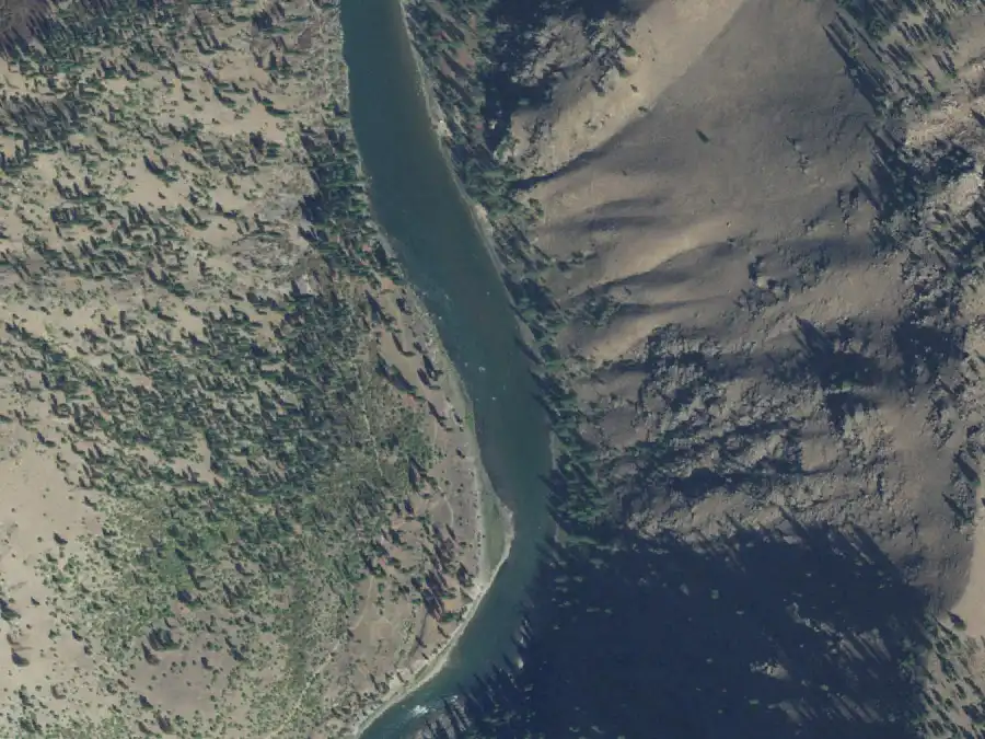
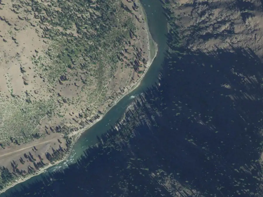
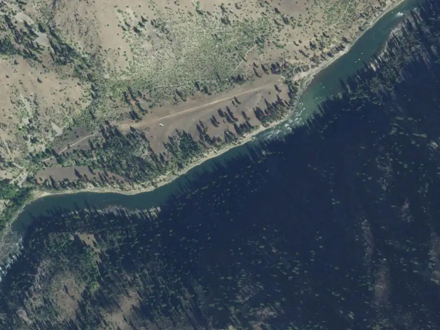
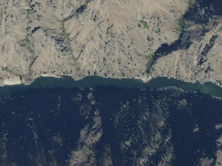
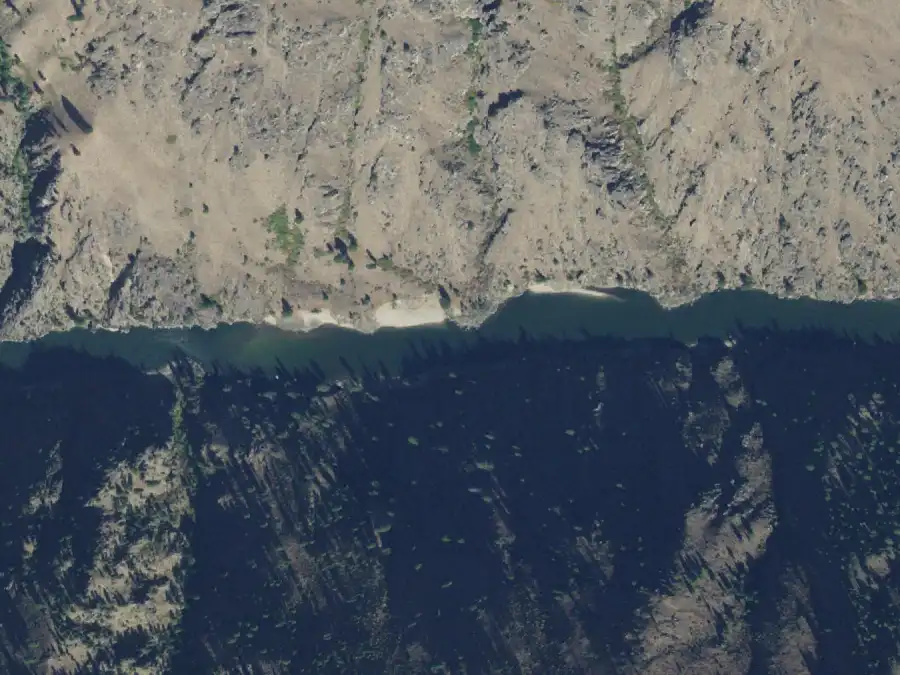
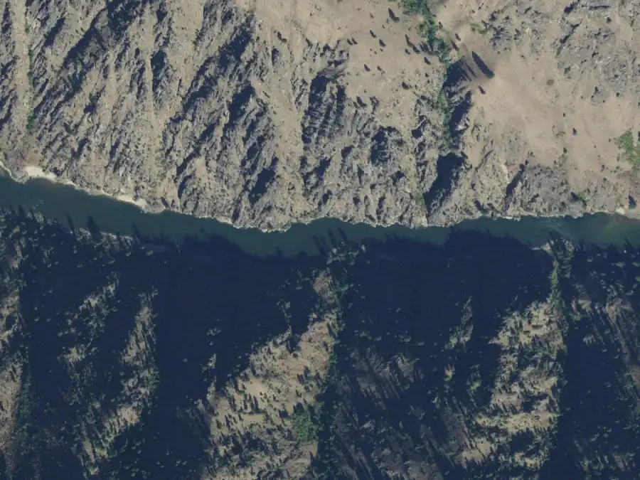
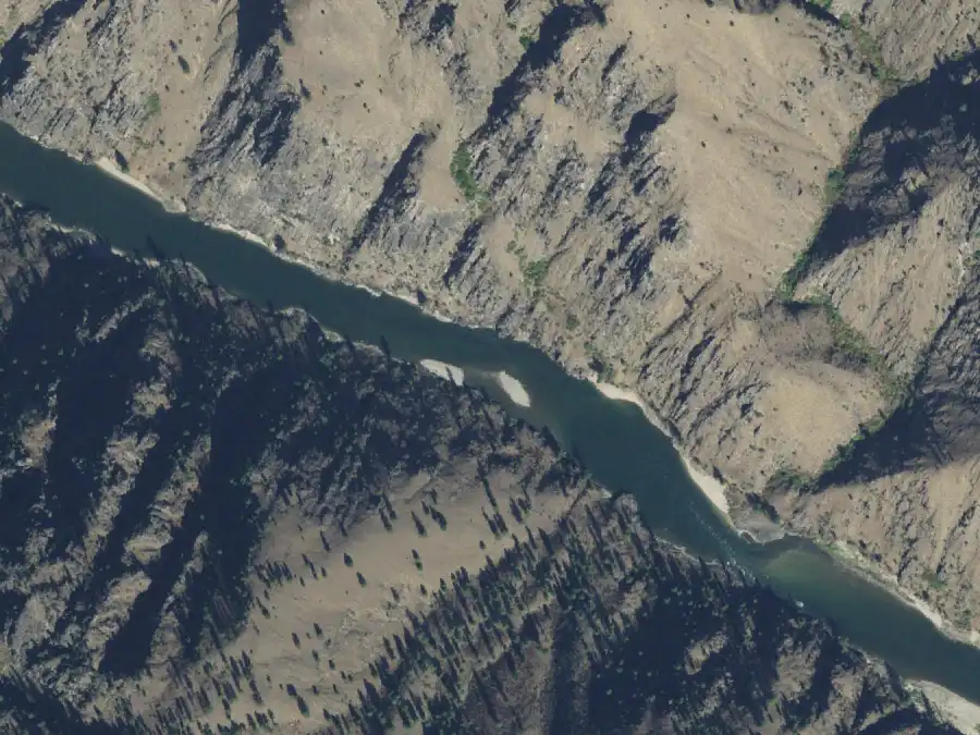
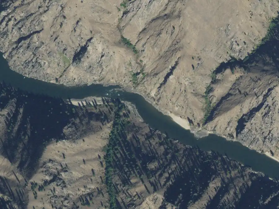
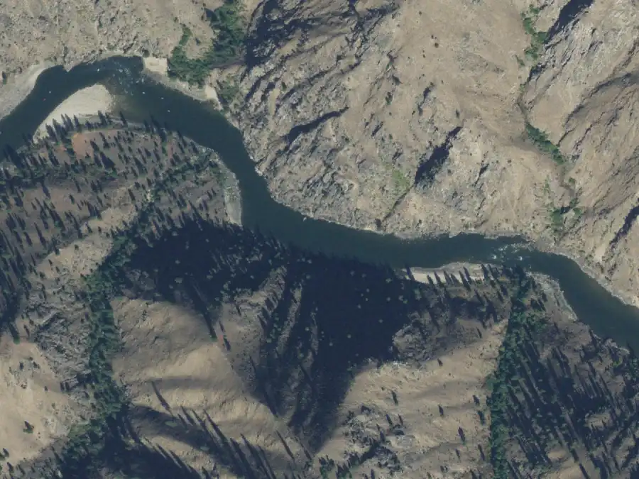
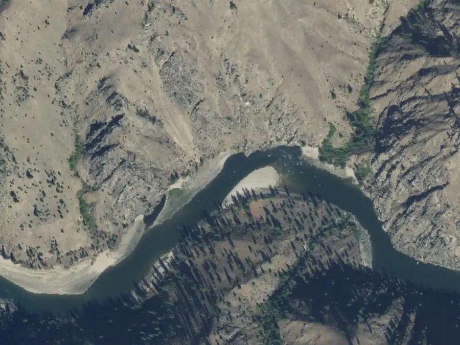
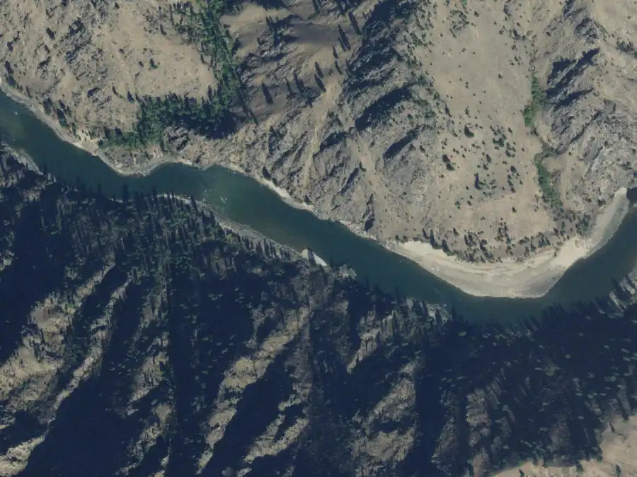
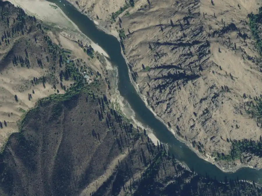
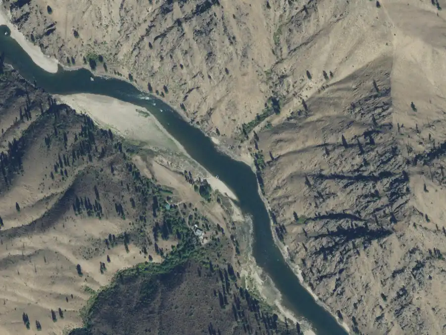
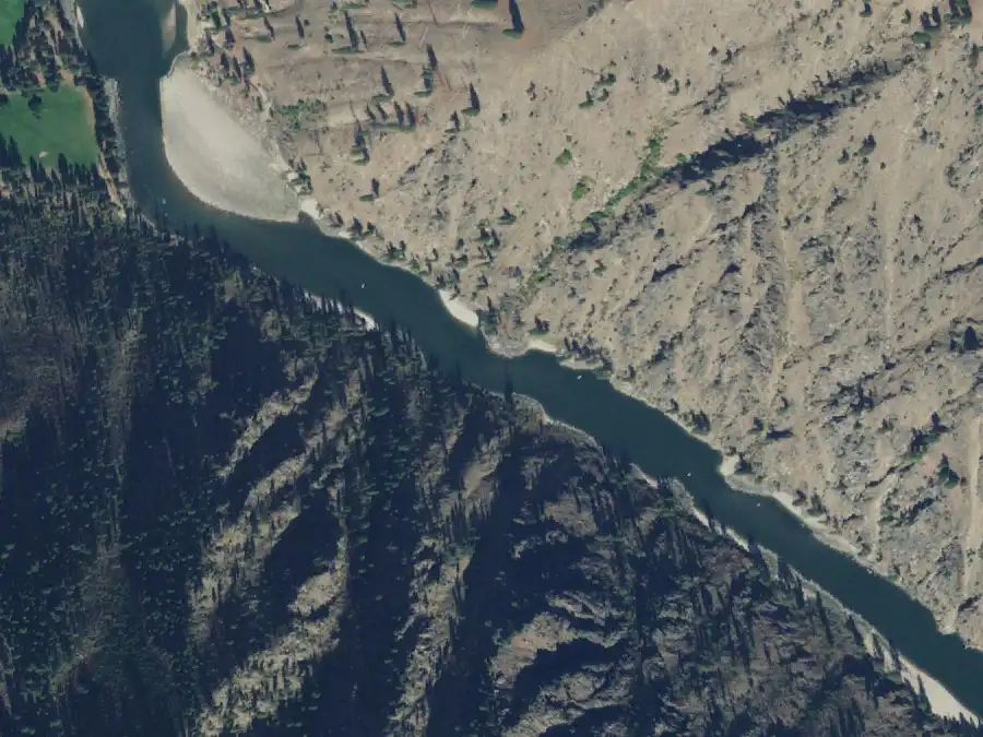
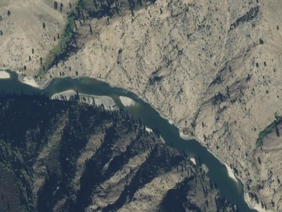
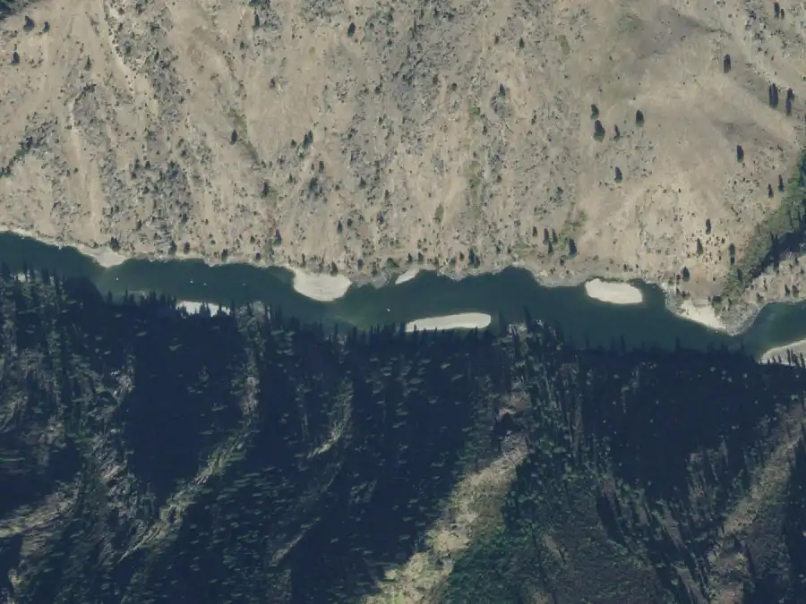
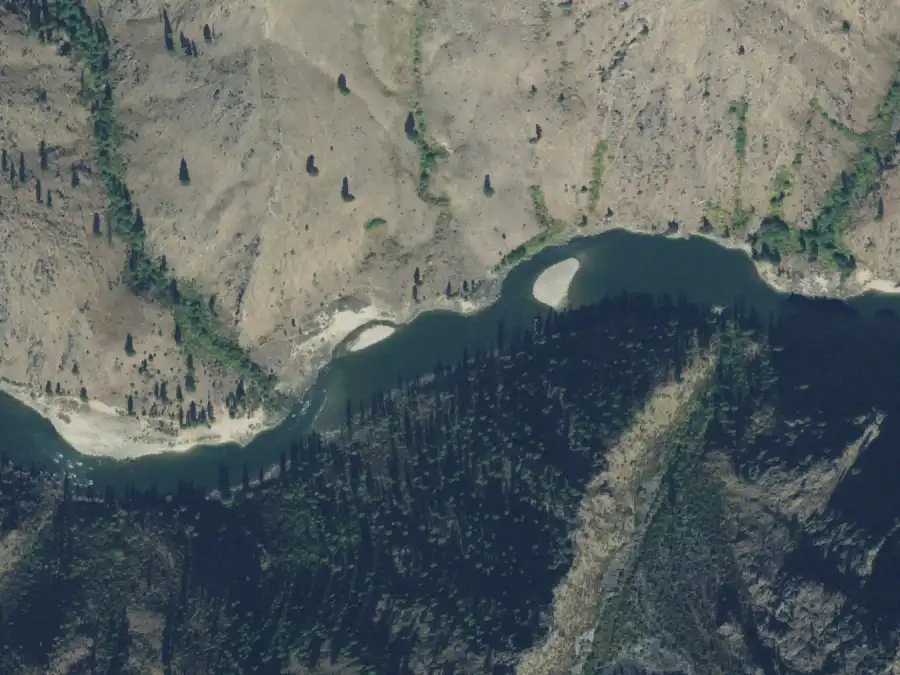
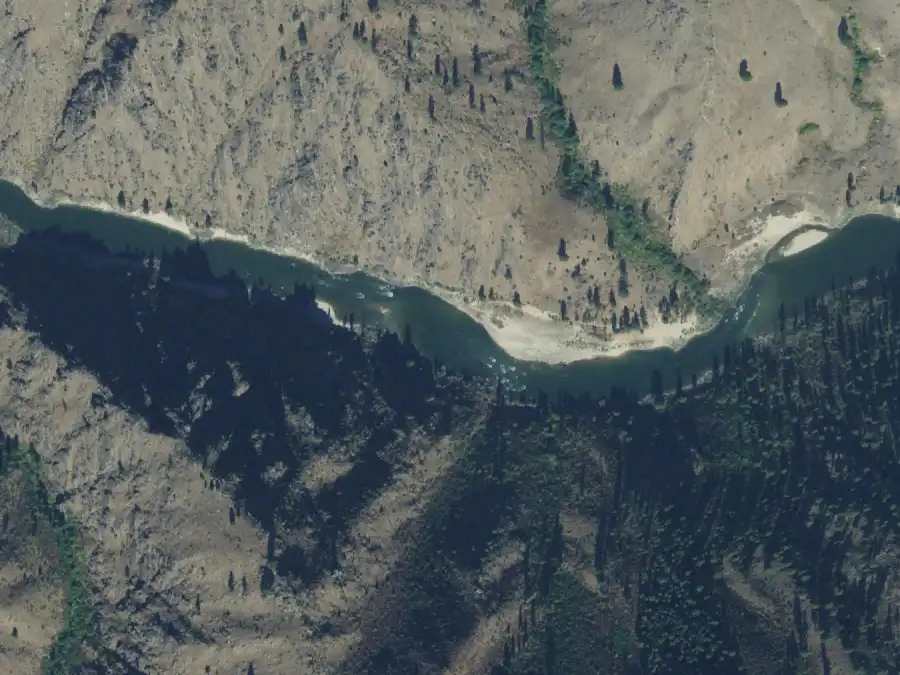
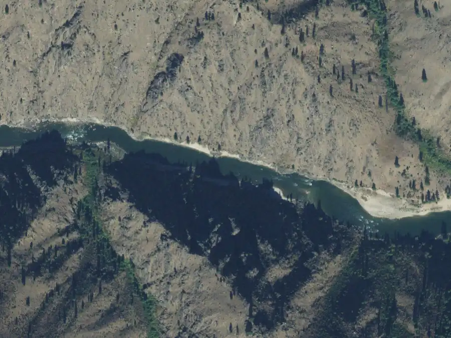
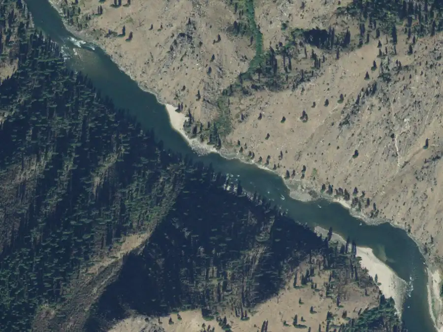
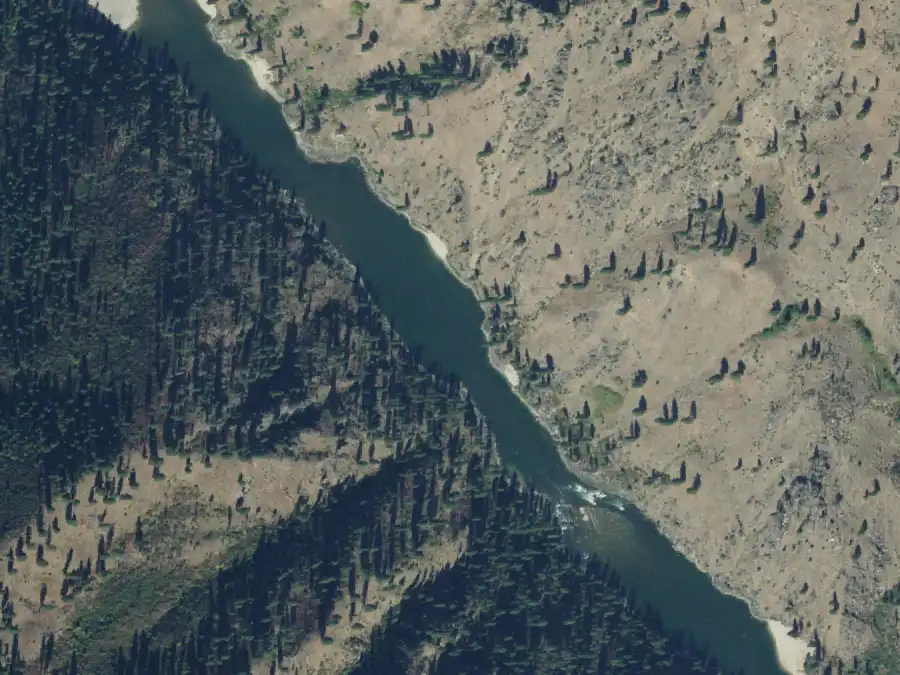
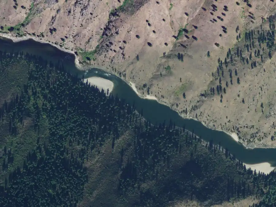
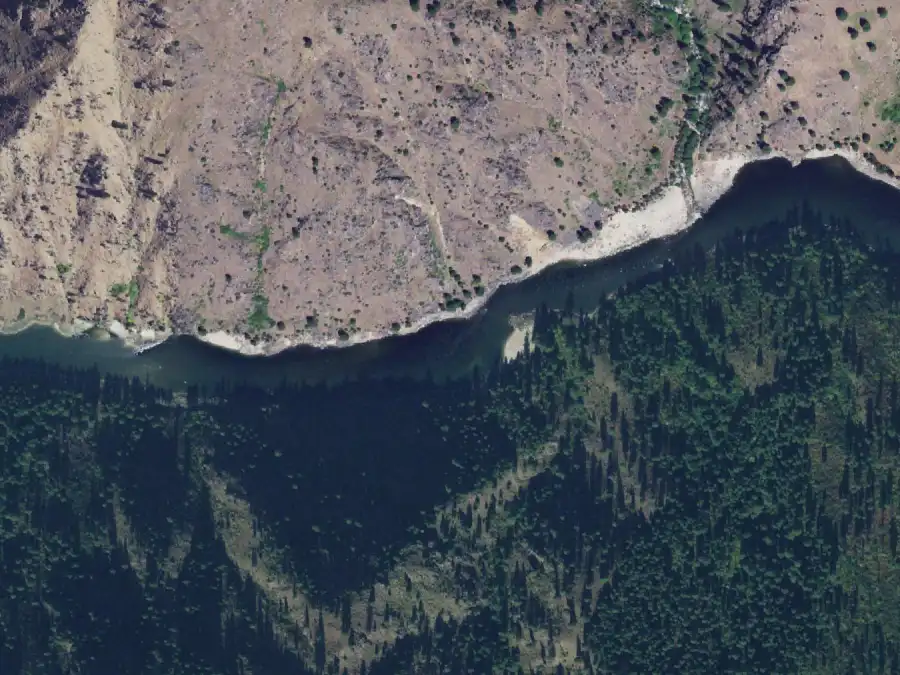
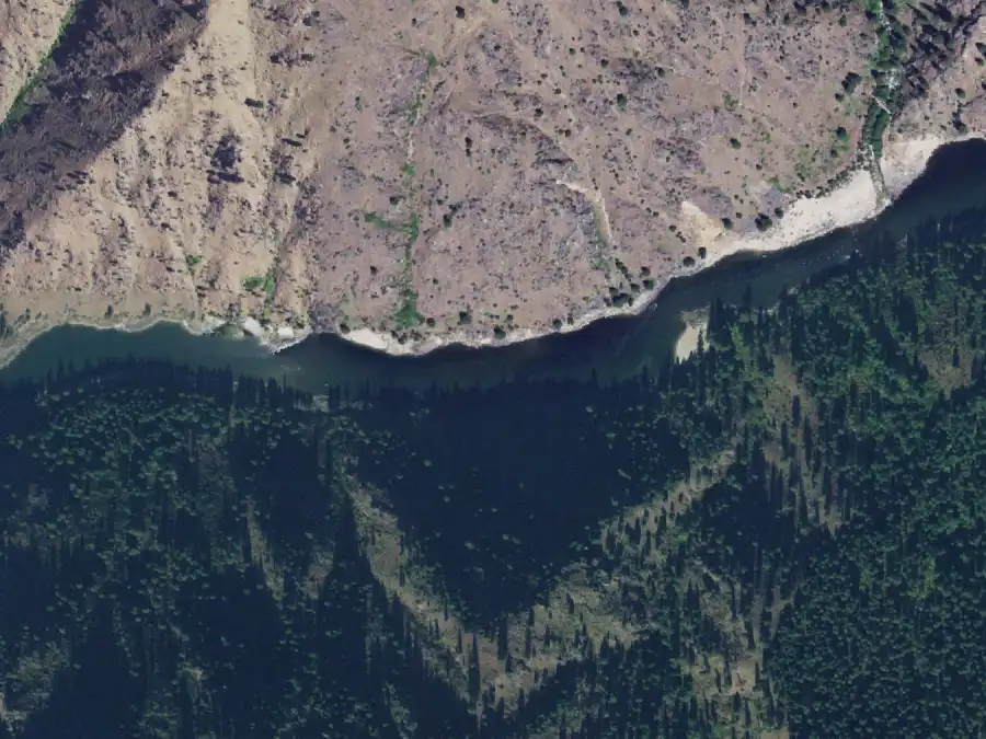
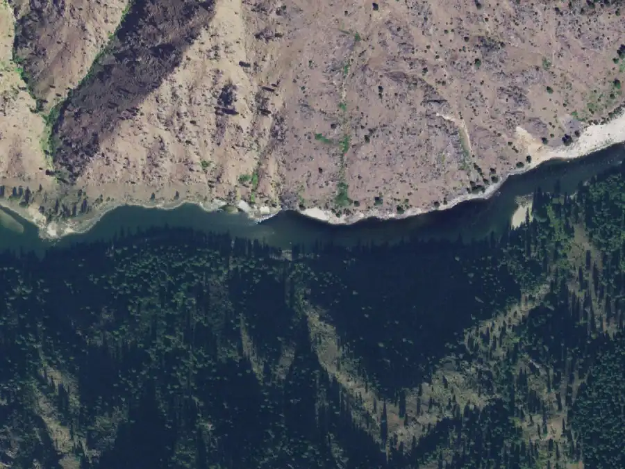
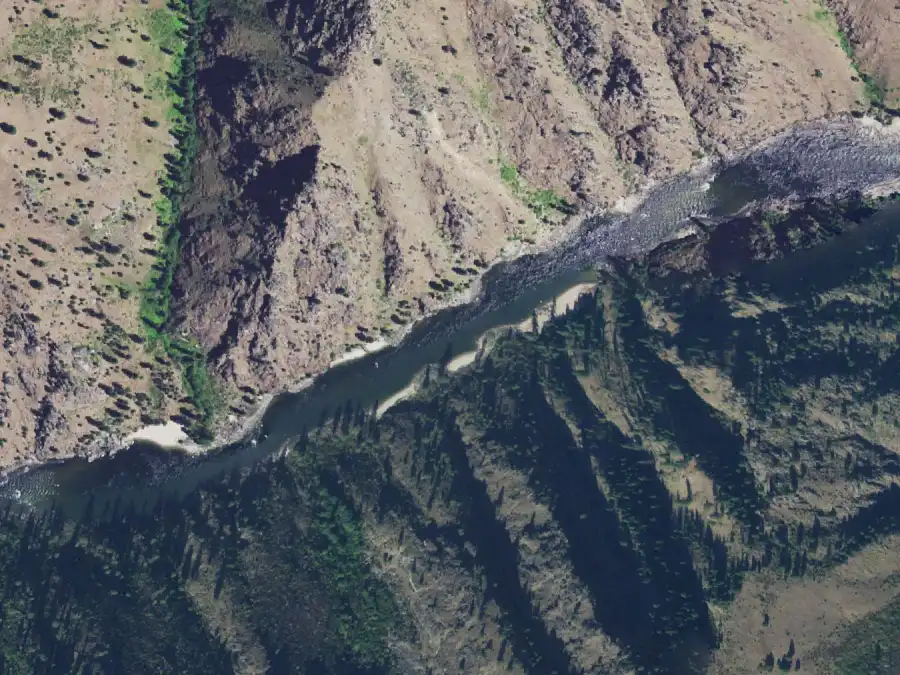
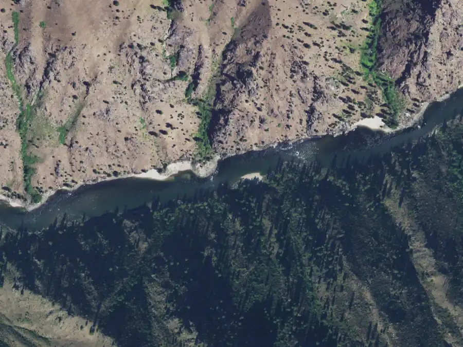
Every camp has an aerial from the USDA’s National Agriculture
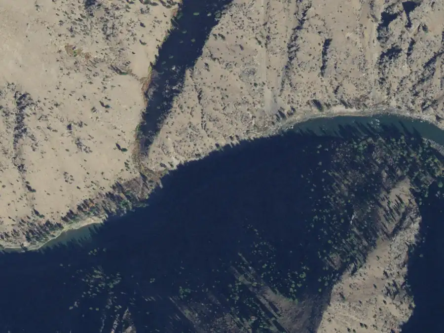
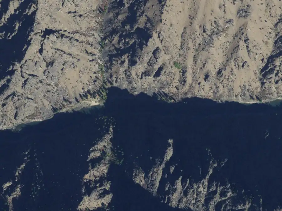
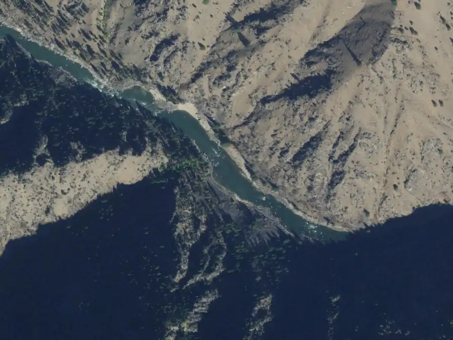
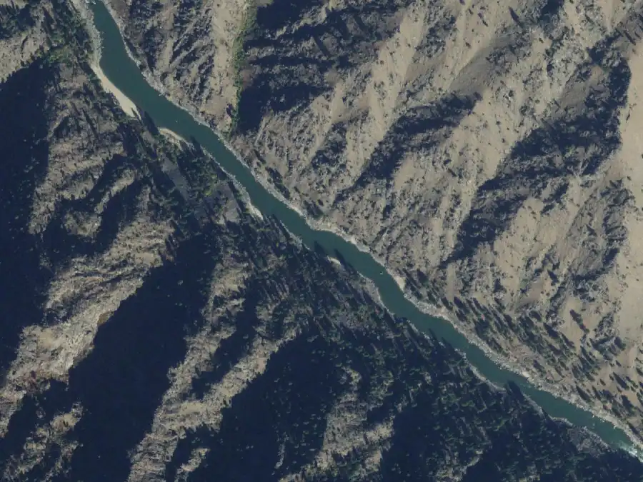
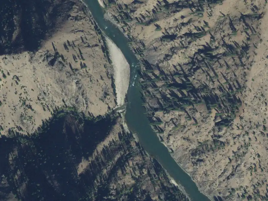
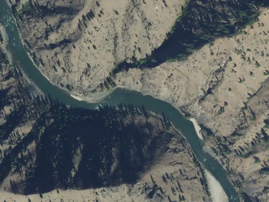
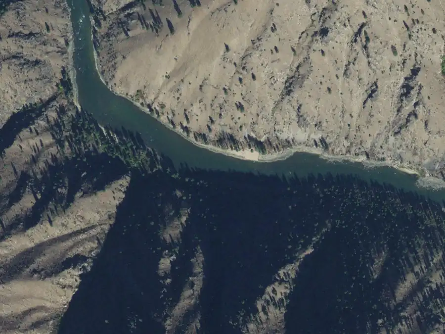
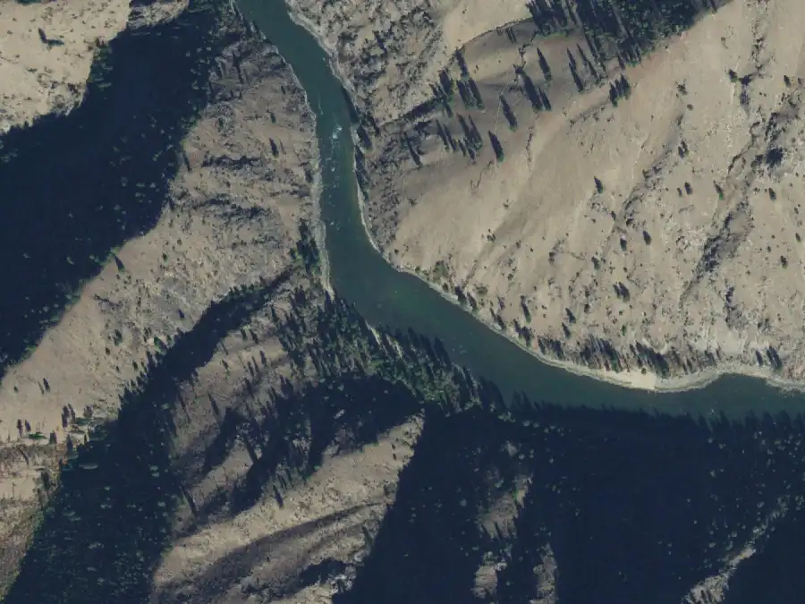
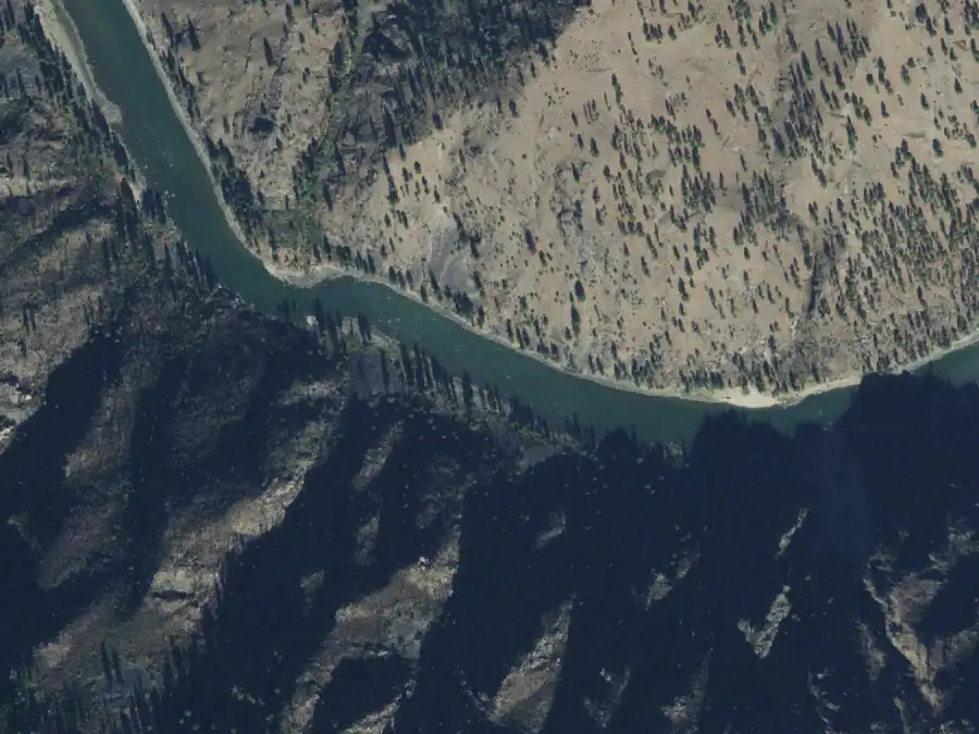
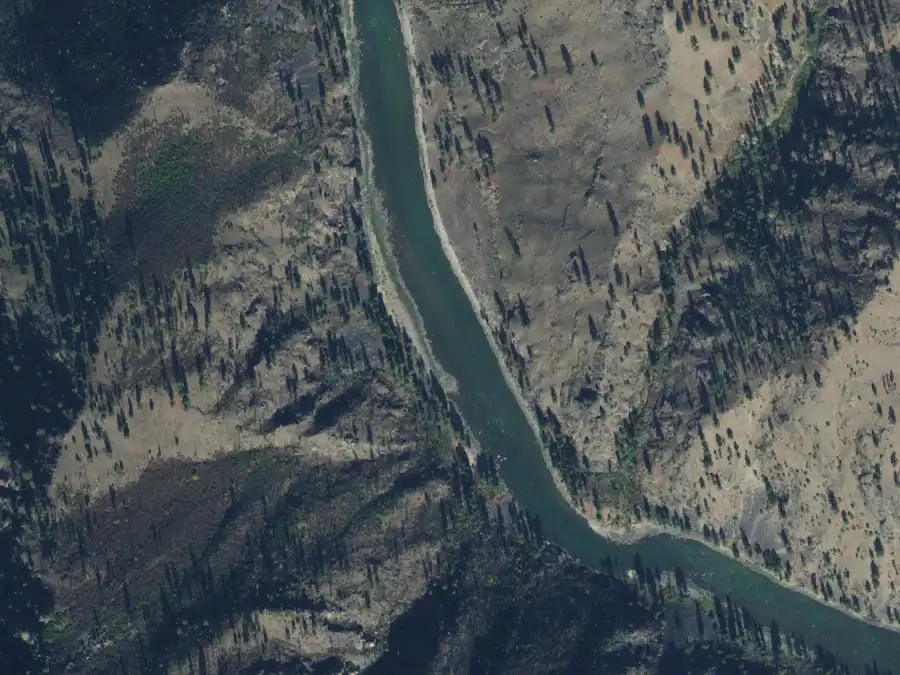
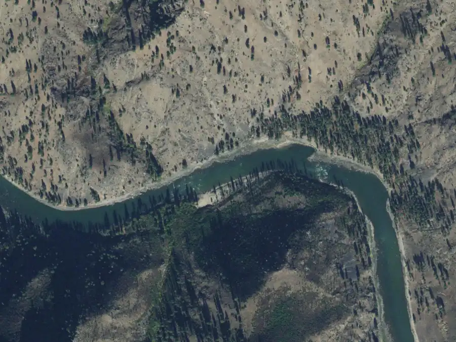
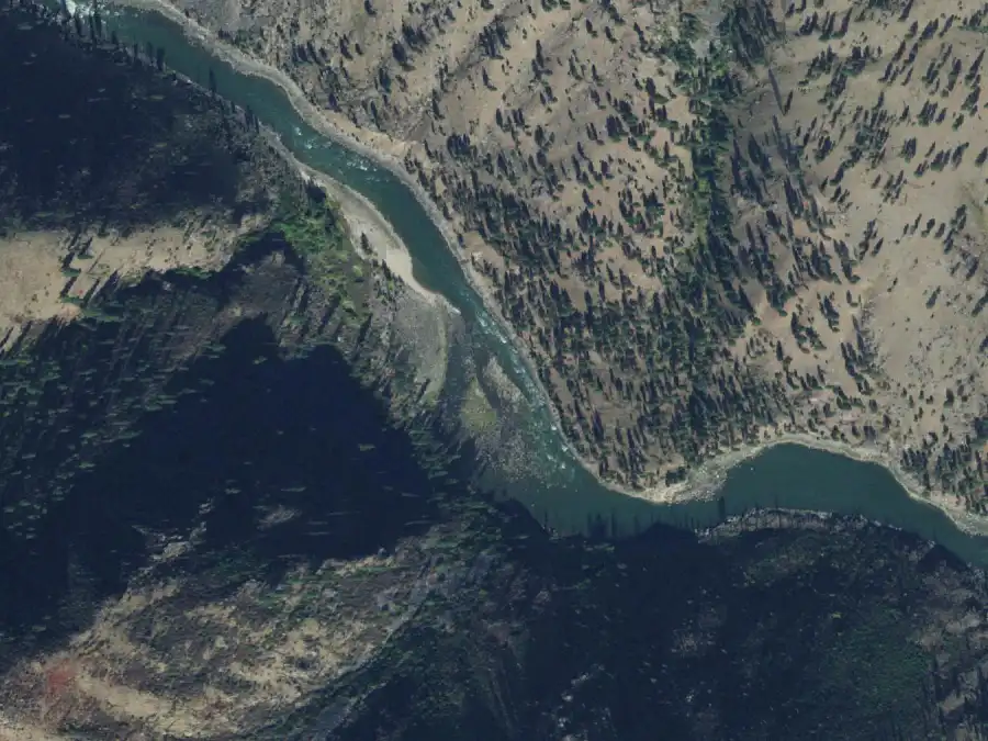
Imagery Program, which is public domain. These were flown between 21 Sep 2021 and 30 Sep 2021, with the river at 2,790–2,900 cfs at White Bird: very low water, so they show the beaches at close to their largest. Each frame is
1.2 km across with north at the
top. The Forest Service publishes river miles, not coordinates, so a
frame is centred on the camp’s mile along the river’s mapped
centerline, which is good to about a quarter mile: the camp is in the
picture, near the middle, on the bank the entry names.
What an aerial cannot show is the camp from the boat, or the same beach
at high water. Nobody publishes ground photos of these camps that can be
reused, so each entry has room for a low-water and a high-water
photograph, and they are empty.
Sources and what this is not
Mile, river side, both capacities, reservable status and the quoted note
on every camp come from the
Forest Service, Wild Main Salmon Campsites (2025). Camp names are
spelled as that list spells them, because that is what the request form
uses. The descriptions are LateBoof’s own wording; details beyond
the Forest Service list were checked against
GoRafting, Main Salmon River Rafting Guide, and where the two
disagree the Forest Service figure is used and the camp says so.
Nothing here comes from a LateBoof trip yet. Beaches move, creeks blow
out, and camps burn; a description is a starting point for a
conversation with someone who was there last season, not a promise.
Checked 2026-09-30.