Camp guide · Middle Fork Salmon, Frank Church–River of No Return Wilderness
Middle Fork Salmon camps
98 named camps, Boundary Creek to the confluence · river miles 0.7–94.9
Camps
98 on the list, 49 allow layovers
Hot springs
6 camps, one per trip
At 6 ft or more
76 usable, 21 gone
Camp requests
Emailed form, 14 days before launch
How to read this
Every camp below carries three numbers from the Forest Service list: how
many people it holds when the Middle Fork Lodge gauge reads
2.5 ft or less, about 4 ft, and
6 ft or more. The feet are that gauge’s height
(USGS 13309220), the number boaters trade, and the second number in a
LateBoof reply (“2,800 cfs / 4.21 ft”). 21 of the 98
camps are gone at 6 ft or more, and 13 more shrink.
A blank on the list means the Forest Service gives no number:
33 camps have none at about 4 ft, and Indian Creek Beach has none at any level.
Those show as “Not listed”, and the level filter leaves them
out at that level rather than guess. Read the numbers either side.
The capacities are limits. A group may not use a camp rated for fewer
people than it has. Groups top out at 24 on the Middle Fork, so a camp
rated for 30 takes any permitted group. Each camp also carries the Forest
Service’s use level for June and for July and August: low, mid,
high or very high.
Requesting camps
Every camp on the Middle Fork is assigned; none is first-come. The River
Office emails the permit holder a camp request form 14 days before the
launch date, and builds your itinerary from it.
Complete the reservation on Recreation.gov and submit the camp request form at least 7 days before launch. The form can be submitted once. If it is late, or your requests do not fit your group or the rules, the River Clerk assigns the best camps left.
One hot-springs camp per group at most, and it is not guaranteed. Ask for three and you still get one at most.
During the lottery control season (May 28 to September 3) a group gets one night below Big Creek. The Forest Service web page puts that line at Big Creek, mile 77.9; its camp list draws it just below Last Chance, mile 78.
Layovers only at camps marked for them, case by case, and sparingly in the control season.
Groups of 12 or fewer are often put in smaller camps.
Heritage camps come with extra instructions to protect cultural sites. At the ten camps asterisked on the list, do not gather downed wood for fires.
An assigned camp is not exclusive. Backpackers and stock parties may share it, especially at hot springs and airstrips.
Camp assignments are final once the permit is issued, by email 5 or 6 days before launch.
Trip length follows group size: up to 8 days for 1–10 people, 7
days for 11–20, and 6 days for 21–24. Rules change; the
Salmon-Challis National Forest page
is the authority, and this summary was checked against it on 2026-09-30.
Picking camps for your group
Groups of 21 to 24
You need a camp rated for 30: 59 at 2.5 ft or less, 49 at about 4 ft, 50 at 6 ft or more. 48 hold 30 at every level.
Boundary Creek to Indian Creek miles 0.7–23.9 · 24 camps
The steep, cold upper river: Velvet Falls and the Powerhouse rapids, three hot-springs camps between miles 7 and 13, and a run of camps burned in the 2007 fire. At low water many trips skip it and fly in to Indian Creek.
Mile 0.7 · river leftLayover OK
Teepee Hole
2.5 ft or less
10 people
About 4 ft
10 people
6 ft or more
10 people
A small camp with a good eddy, less than a mile below the Boundary Creek ramp.
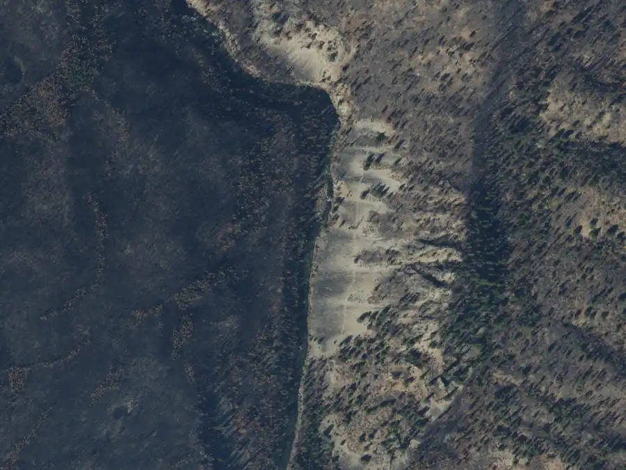
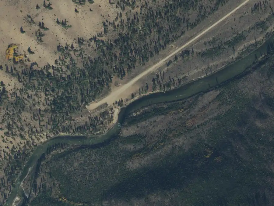
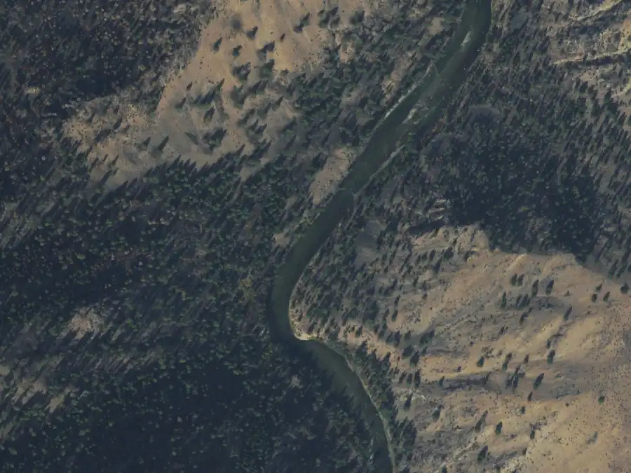
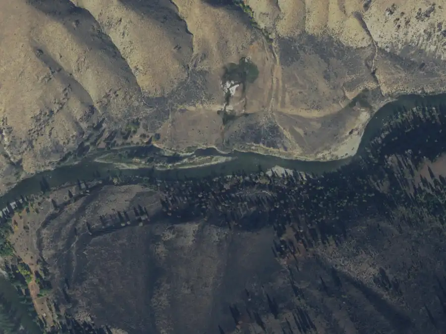
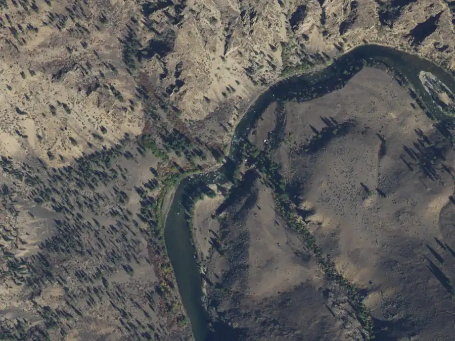
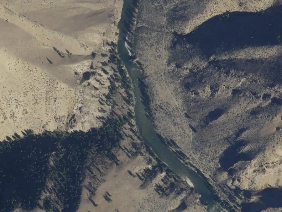
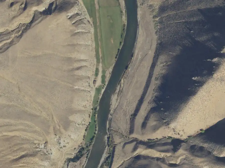
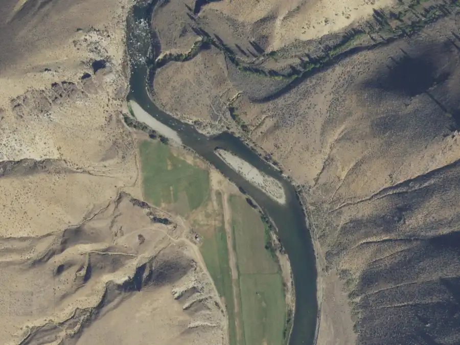
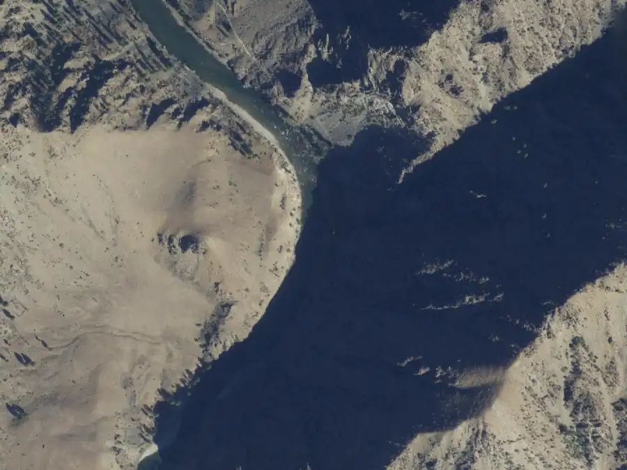
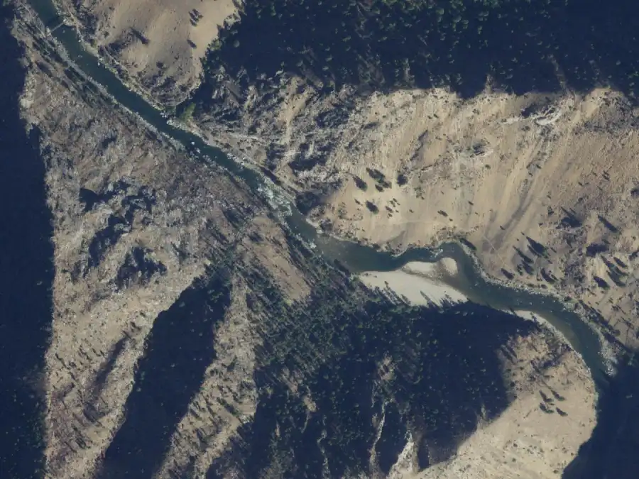
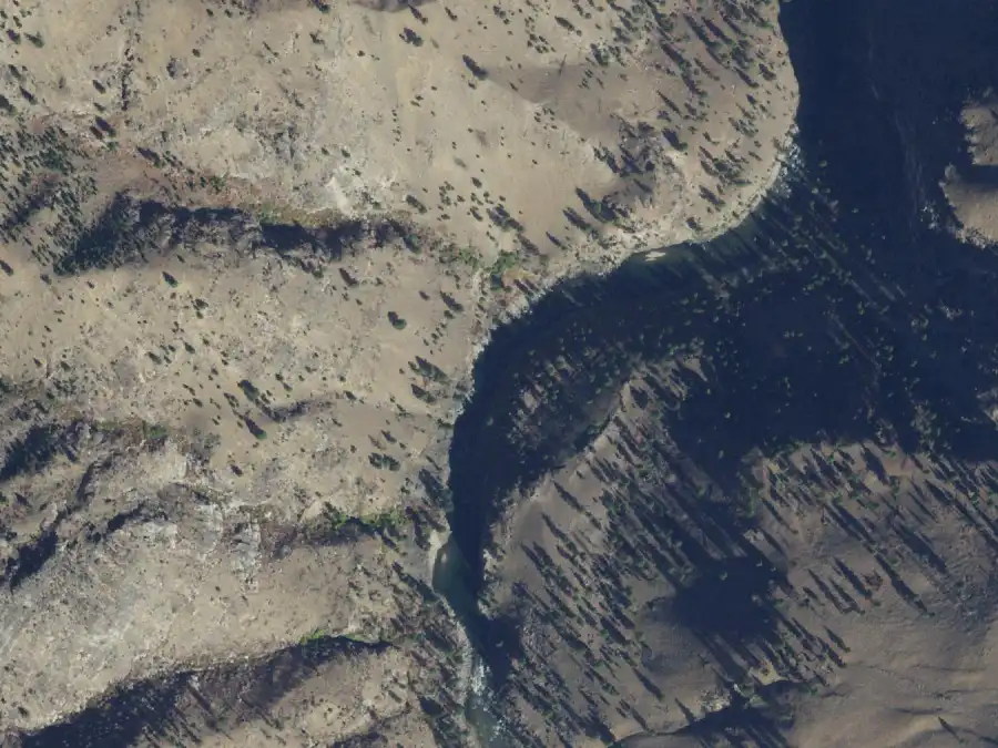
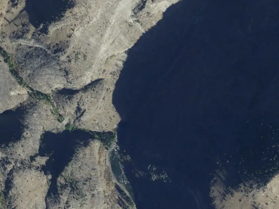
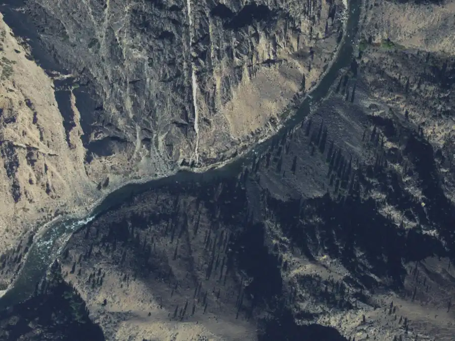
From the air, 30 Sep 2021, Middle Fork Lodge gauge at 1.4 ft (419 cfs). North is up. The camp is on river left, near the middle of the frame. USDA NAIP, public domain.
Easy landing
Forest Service: layovers allowed; use low in June, low in July and August.
Mile 1.6 · river leftLayover OK
Cable Hole
2.5 ft or less
10 people
About 4 ft
Not listed
6 ft or more
No camp
A small, rarely used camp just above Dorr's Rock.
High water: No camp. The Forest Service gives it no capacity at 6 ft or more.
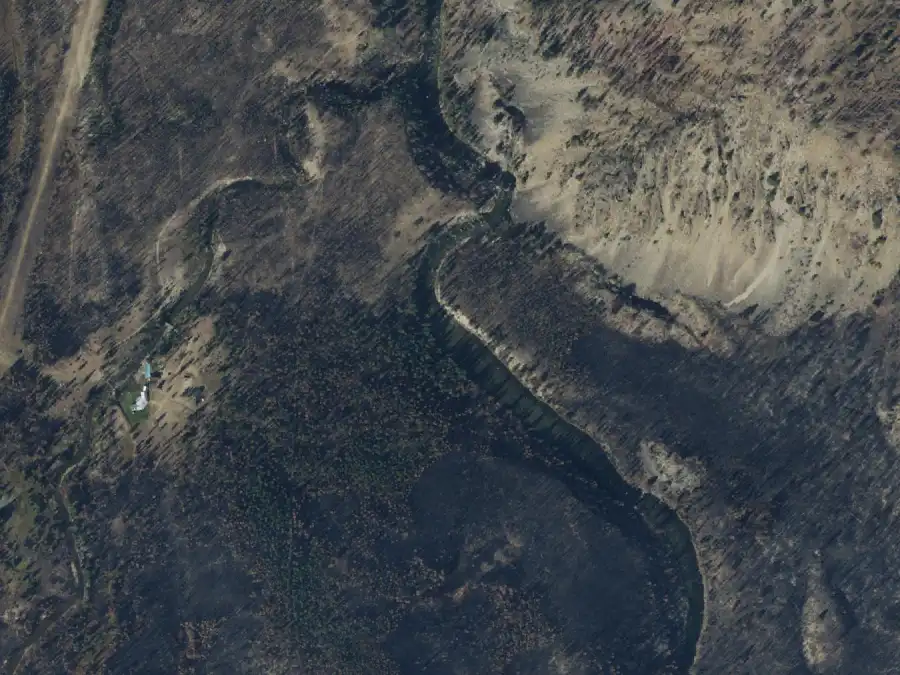
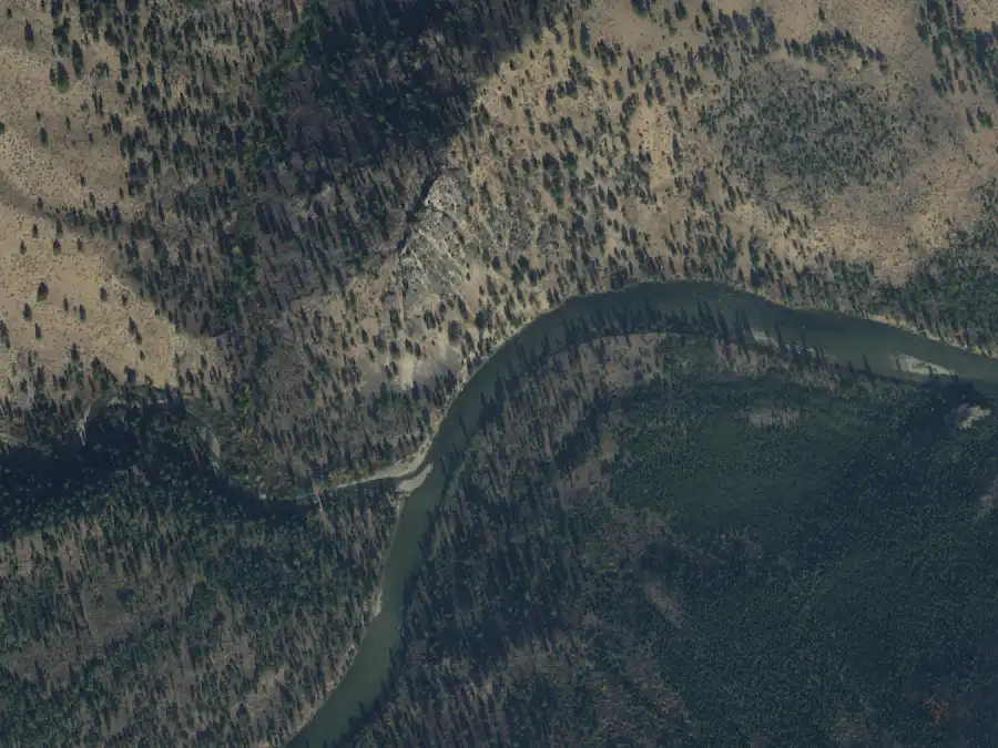
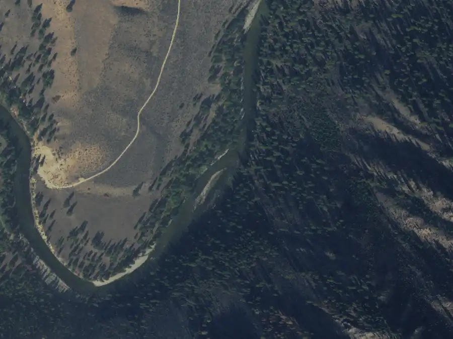
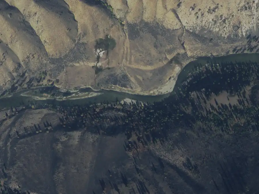
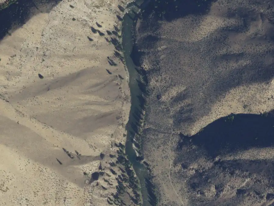
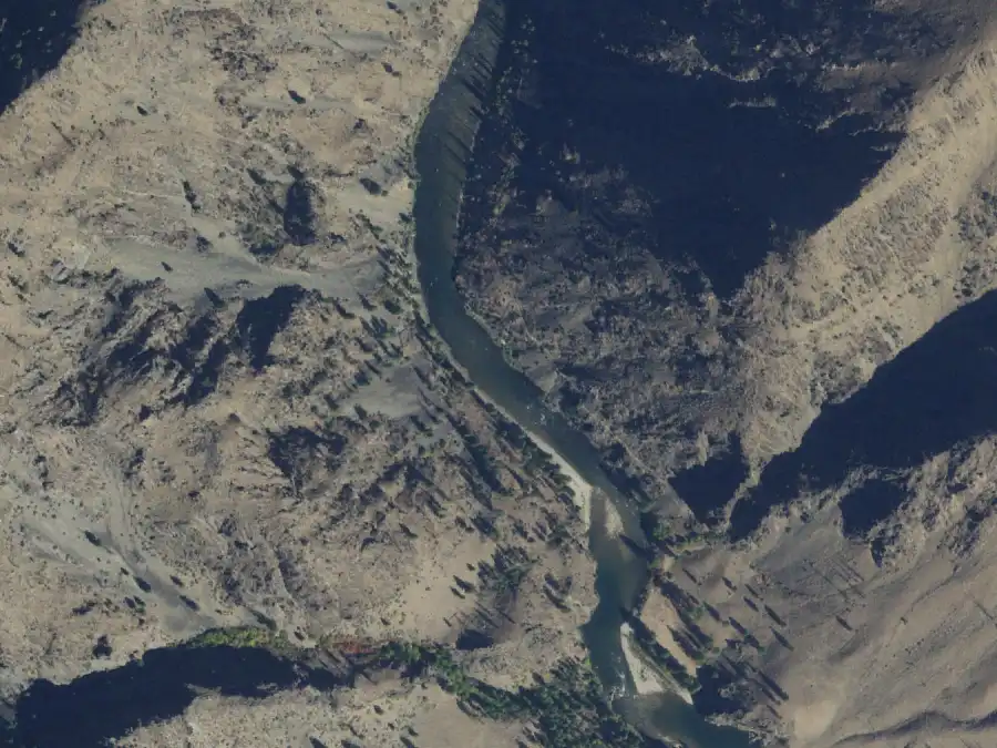
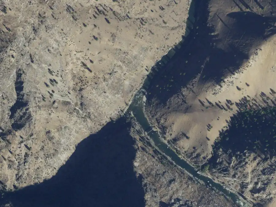
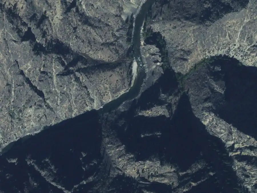
From the air, 30 Sep 2021, Middle Fork Lodge gauge at 1.4 ft (419 cfs). North is up. The camp is on river left, near the middle of the frame. USDA NAIP, public domain.
Forest Service: layovers allowed; use low in June, low in July and August.
Mile 2.4 · river rightLayover OK
Gardells Hole
2.5 ft or less
20 people
About 4 ft
Not listed
6 ft or more
10 people
A gravel camp that guides call the coldest camp on the river.
Low water: It gets better as the water drops.
High water: Room for 10, down from 20.
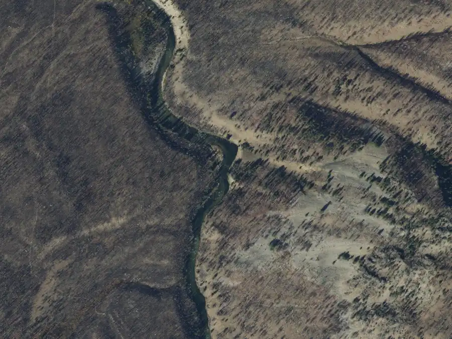
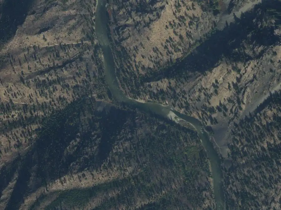
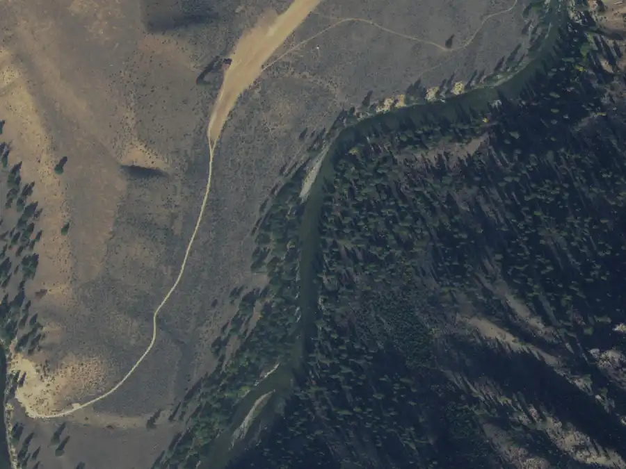
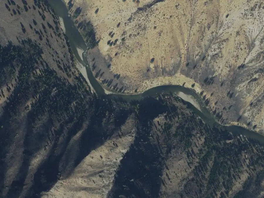
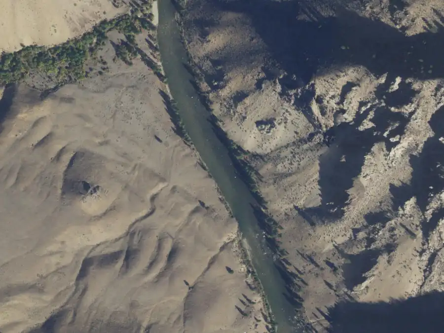
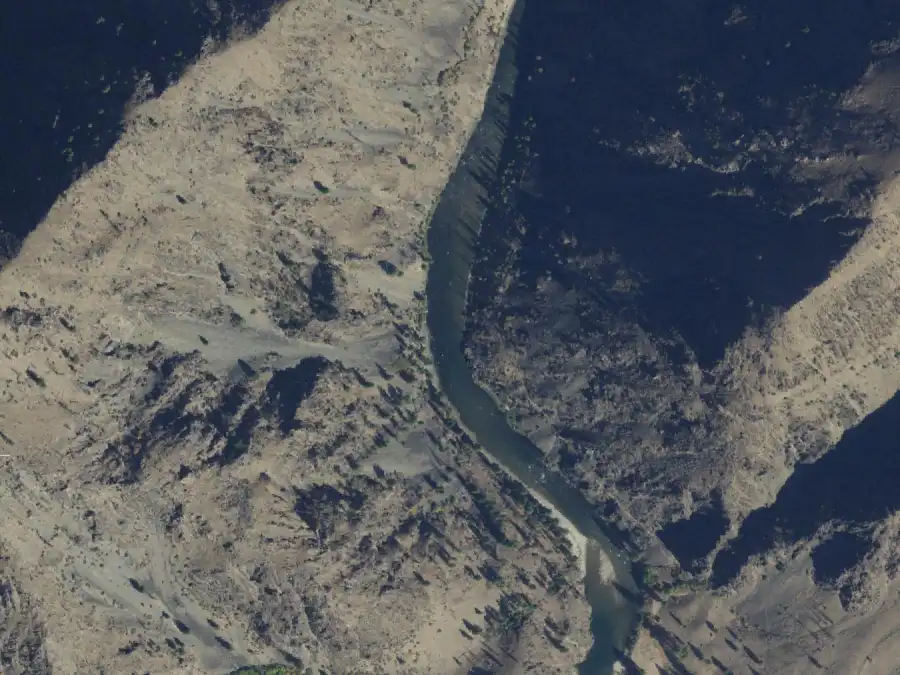
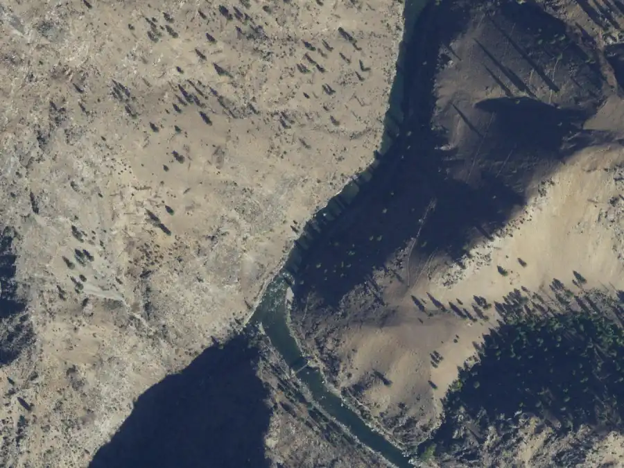
From the air, 30 Sep 2021, Middle Fork Lodge gauge at 1.4 ft (419 cfs). North is up. The camp is on river right, near the middle of the frame. USDA NAIP, public domain.
Forest Service: layovers allowed; use low in June, high in July and August.
Mile 5.5 · river rightLayover OK
Boy Scout
2.5 ft or less
10 people
About 4 ft
10 people
6 ft or more
No camp
A small camp below Velvet Falls that is hard to spot from upstream. It is also the usual lunch stop after running the falls, so expect company at midday.
High water: No camp. The Forest Service gives it no capacity at 6 ft or more.
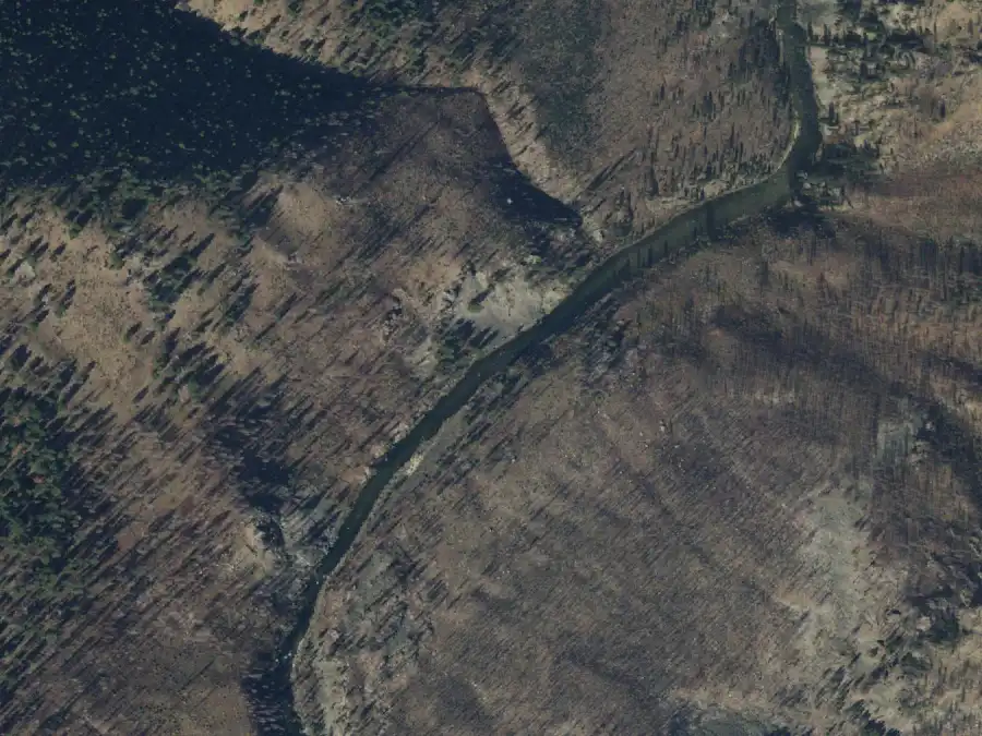
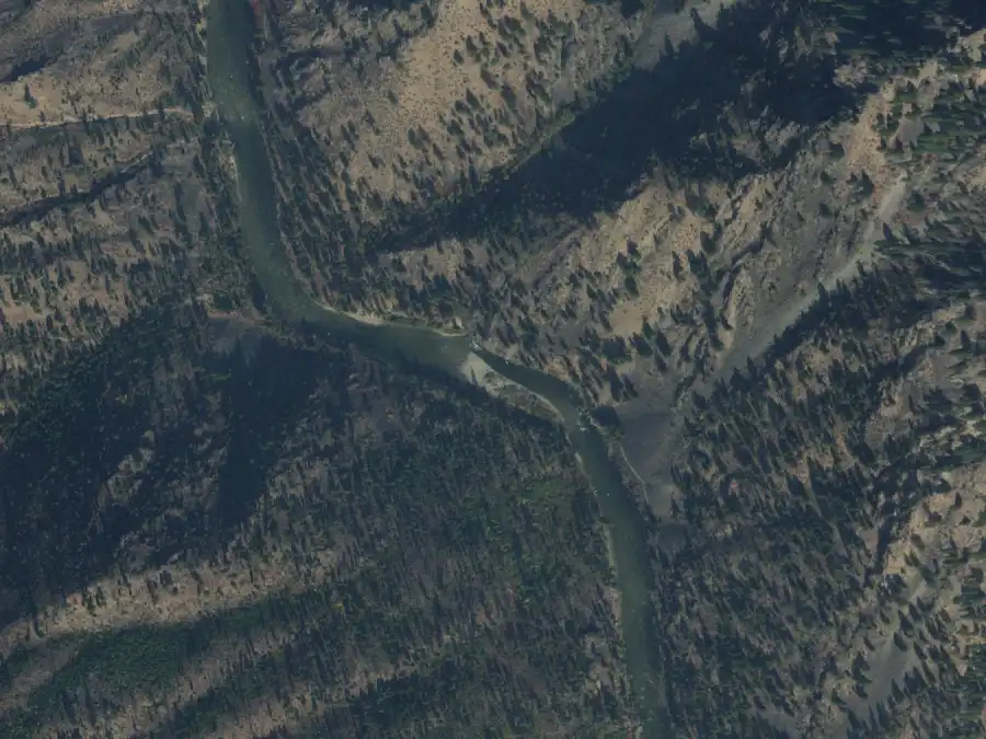
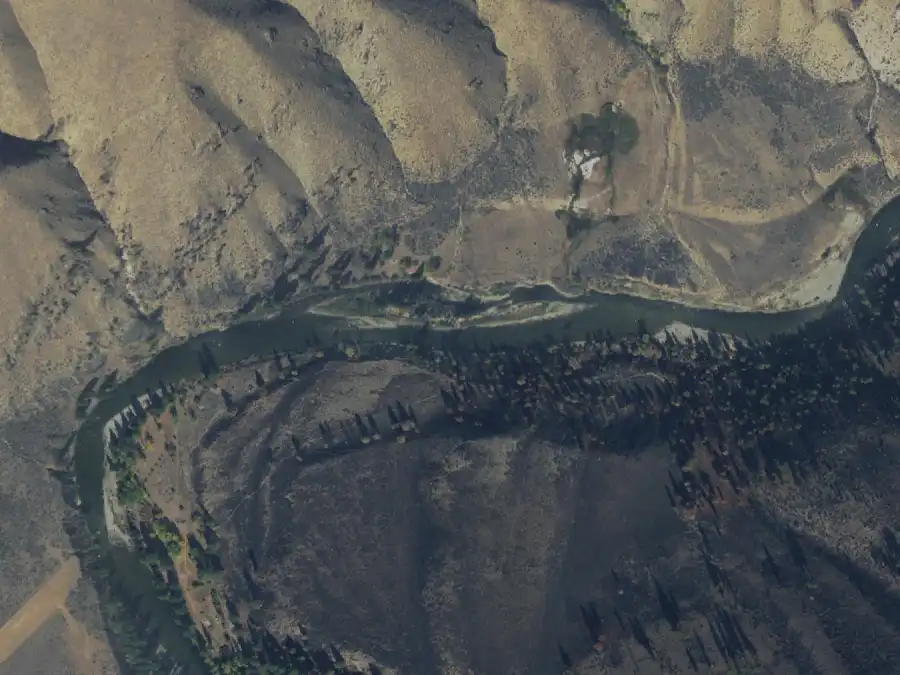
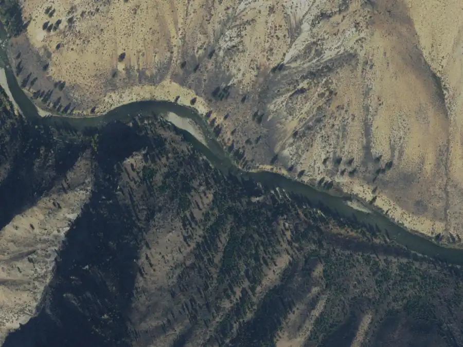
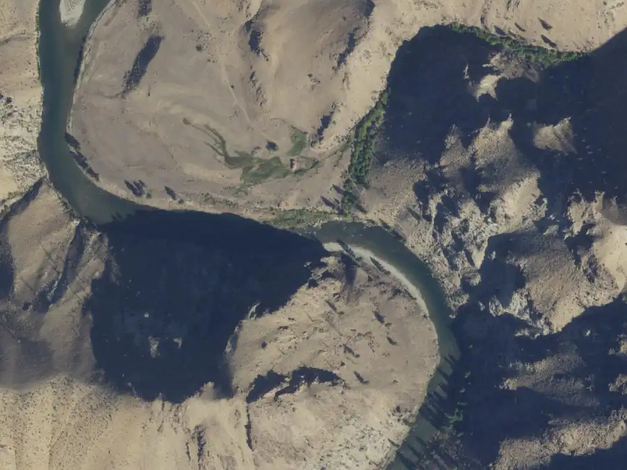
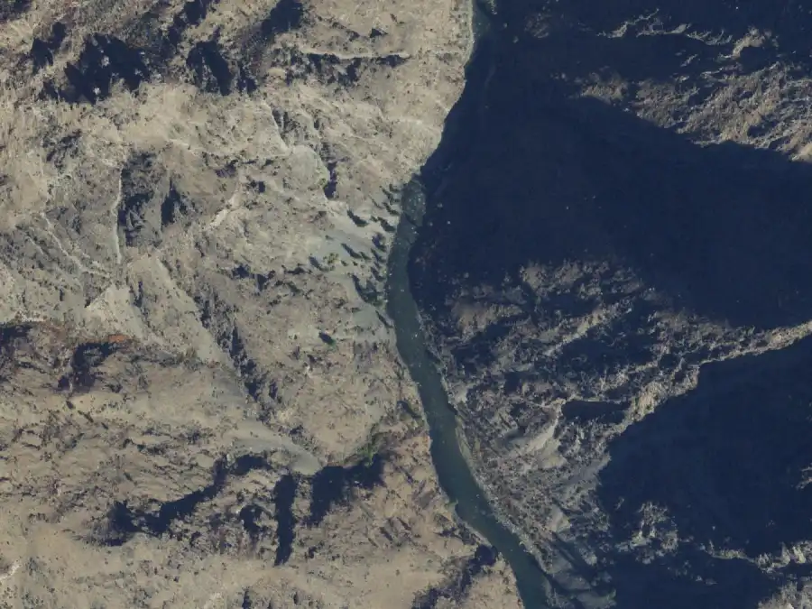
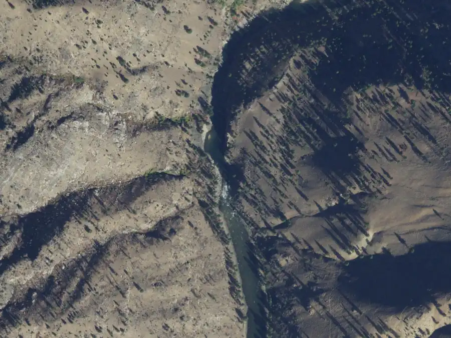
From the air, 29 Sep 2021, Middle Fork Lodge gauge at 1.4 ft (421 cfs). North is up. The camp is on river right, near the middle of the frame. USDA NAIP, public domain.
Forest Service: layovers allowed; use low in June, low in July and August.
Mile 6.5 · river rightLayover OK
Big Bend
2.5 ft or less
30 people
About 4 ft
Not listed
6 ft or more
30 people
A well-liked camp on a big bend, with a sandy pull-in and a mix of shade and sun.
From the air, 29 Sep 2021, Middle Fork Lodge gauge at 1.4 ft (421 cfs). North is up. The camp is on river right, near the middle of the frame. USDA NAIP, public domain.
Sand beach
Shade
Forest Service: layovers allowed; use mid in June, mid in July and August.
Mile 6.9 · river leftHot springs
Trail Flat
2.5 ft or less
30 people
About 4 ft
30 people
6 ft or more
30 people
The first hot-springs camp on the river. The camp is on a bench, so there is a carry, and the soaking pools sit in the cobbles at the back of the bar.
Low water: The small pools in the cobbles appear as the river drops.
From the air, 29 Sep 2021, Middle Fork Lodge gauge at 1.4 ft (421 cfs). North is up. The camp is on river left, near the middle of the frame. USDA NAIP, public domain.
Bench camp
Carry or climb
Hot springs nearby
Forest Service: layovers not allowed; use low in June, mid in July and August.
Mile 8.1 · river leftLayover OK
Rapid Camp
2.5 ft or less
5 people
About 4 ft
Not listed
6 ft or more
No camp
A five-person camp that disappears at 6 ft or more. Neither source says more about it.
High water: No camp. The Forest Service gives it no capacity at 6 ft or more.
From the air, 29 Sep 2021, Middle Fork Lodge gauge at 1.4 ft (421 cfs). North is up. The camp is on river left, near the middle of the frame. USDA NAIP, public domain.
Forest Service: layovers allowed; use low in June, low in July and August.
Mile 8.2 · river rightLayover OK
Elkhorn Bar
2.5 ft or less
30 people
About 4 ft
30 people
6 ft or more
30 people
A large camp spread through the trees. The marker is the big boulder in the river just above camp. The downstream end burned, but there is still plenty of room.
From the air, 29 Sep 2021, Middle Fork Lodge gauge at 1.4 ft (421 cfs). North is up. The camp is on river right, near the middle of the frame. USDA NAIP, public domain.
Burned
Forest Service: layovers allowed; use mid in June, mid in July and August.
Mile 9.3 · river leftLayover OK
Saddle Camp
2.5 ft or less
15 people
About 4 ft
10 people
6 ft or more
15 people
A medium camp on a bench above the river. The Forest Service rates it smaller at about 4 ft (10 people) than at either low or high water (15).
From the air, 30 Sep 2021, Middle Fork Lodge gauge at 1.4 ft (419 cfs). North is up. The camp is on river left, near the middle of the frame. USDA NAIP, public domain.
Bench camp
Forest Service: layovers allowed; use low in June, low in July and August.
Mile 9.5 · river rightLayover OK
Boot Camp
2.5 ft or less
6 people
About 4 ft
6 people
6 ft or more
6 people
A six-person camp on a bench above the river, easy to float past.
From the air, 30 Sep 2021, Middle Fork Lodge gauge at 1.4 ft (419 cfs). North is up. The camp is on river right, near the middle of the frame. USDA NAIP, public domain.
Bench camp
Forest Service: layovers allowed; use low in June, low in July and August.
Mile 11.8 · river left
Joe Bump Cabin
2.5 ft or less
30 people
About 4 ft
30 people
6 ft or more
30 people
A large camp beside Joe Bump's cabin, a Depression-era homestead. The ditch a few men dug to water it still cuts a long scar across the bench. One of the busiest camps in June.
High water: The eddy is easy to miss at higher water: stay on the inside of the bend.
From the air, 30 Sep 2021, Middle Fork Lodge gauge at 1.4 ft (419 cfs). North is up. The camp is on river left, near the middle of the frame. USDA NAIP, public domain.
History
Tricky landing
Forest Service: layovers not allowed; use high in June, mid in July and August.
Mile 12.5 · river rightLayover OK
Thimbleberry
2.5 ft or less
12 people
About 4 ft
12 people
6 ft or more
12 people
A 12-person camp that some boaters call a secret gem for small groups.
From the air, 30 Sep 2021, Middle Fork Lodge gauge at 1.4 ft (419 cfs). North is up. The camp is on river right, near the middle of the frame. USDA NAIP, public domain.
Forest Service: layovers allowed; use low in June, low in July and August.
Mile 12.7 · river leftHot springs
Scout Camp
2.5 ft or less
30 people
About 4 ft
30 people
6 ft or more
30 people
Tent sites tucked among the shrubs, with a trail downstream to the Sheepeater hot springs.
From the air, 30 Sep 2021, Middle Fork Lodge gauge at 1.4 ft (419 cfs). North is up. The camp is on river left, near the middle of the frame. USDA NAIP, public domain.
Hot springs nearby
Forest Service: layovers not allowed; use mid in June, mid in July and August.
Mile 13 · river leftHot springs
Sheepeater
2.5 ft or less
30 people
About 4 ft
30 people
6 ft or more
30 people
A large hot-springs camp with two pull-ins for different set-ups. Across a muddy, tepid stretch are several pools at different temperatures, and the minerals draw wildlife.
Low water: The lower pull-in, the easy park-and-cook one, closes off as the river drops.
From the air, 30 Sep 2021, Middle Fork Lodge gauge at 1.4 ft (419 cfs). North is up. The camp is on river left, near the middle of the frame. USDA NAIP, public domain.
Hot springs nearby
Forest Service: layovers not allowed; use high in June, mid in July and August.
Mile 13.8 · river left
Fire Island
2.5 ft or less
30 people
About 4 ft
30 people
6 ft or more
30 people
A large camp marked by a boulder stacked with flood logs. The 2007 fire took the shade trees.
From the air, 30 Sep 2021, Middle Fork Lodge gauge at 1.4 ft (419 cfs). North is up. The camp is on river left, near the middle of the frame. USDA NAIP, public domain.
Burned
Little or no shade
Forest Service: layovers not allowed; use low in June, low in July and August.
Mile 14.9 · river rightLayover OK
Lake Creek
2.5 ft or less
30 people
About 4 ft
30 people
6 ft or more
30 people
Burned in 2007 like most camps in this stretch, but it holds a big group at every level.
From the air, 29 Sep 2021, Middle Fork Lodge gauge at 1.4 ft (421 cfs). North is up. The camp is on river right, near the middle of the frame. USDA NAIP, public domain.
Burned
Forest Service: layovers allowed; use low in June, low in July and August.
Mile 15.2 · river rightLayover OK
Johns Camp
2.5 ft or less
30 people
About 4 ft
30 people
6 ft or more
30 people
A big camp with no shade, another casualty of the 2007 fire.
From the air, 29 Sep 2021, Middle Fork Lodge gauge at 1.4 ft (421 cfs). North is up. The camp is on river right, near the middle of the frame. USDA NAIP, public domain.
Burned
Little or no shade
Forest Service: layovers allowed; use mid in June, low in July and August.
Mile 15.9 · river rightLayover OK
Greyhound
2.5 ft or less
30 people
About 4 ft
30 people
6 ft or more
30 people
A large camp burned in the 2007 fire, with a good swimming hole when the river is not too high.
From the air, 29 Sep 2021, Middle Fork Lodge gauge at 1.4 ft (421 cfs). North is up. The camp is on river right, near the middle of the frame. USDA NAIP, public domain.
Burned
Swimming hole
Forest Service: layovers allowed; use low in June, low in July and August.
Mile 15.9 · river leftLayover OK
Dome Hole
2.5 ft or less
12 people
About 4 ft
12 people
6 ft or more
12 people
A small camp up on a bench, burned in 2007.
From the air, 29 Sep 2021, Middle Fork Lodge gauge at 1.4 ft (421 cfs). North is up. The camp is on river left, near the middle of the frame. USDA NAIP, public domain.
Bench camp
Burned
Forest Service: layovers allowed; use low in June, low in July and August.
Mile 16.5 · river rightLayover OK
Rapid River
2.5 ft or less
30 people
About 4 ft
30 people
6 ft or more
30 people
The Forest Service rates it for 30 at every level and allows layovers. Neither source describes it further.
From the air, 29 Sep 2021, Middle Fork Lodge gauge at 1.4 ft (421 cfs). North is up. The camp is on river right, near the middle of the frame. USDA NAIP, public domain.
Forest Service: layovers allowed; use low in June, low in July and August.
Mile 19 · river leftLayover OK
Dolly Lake
2.5 ft or less
30 people
About 4 ft
30 people
6 ft or more
30 people
A gravel bar on the slow bend boaters call Dolly Lake, with tent sites up in the trees. One of the busiest camps in June.
Low water: At medium and lower flows a boulder island appears that you can swim out to.
From the air, 30 Sep 2021, Middle Fork Lodge gauge at 1.4 ft (419 cfs). North is up. The camp is on river left, near the middle of the frame. USDA NAIP, public domain.
Shade
Swimming hole
Forest Service: layovers allowed; use high in June, mid in July and August.
Mile 19.1 · river rightLayover OK
Big Snag
2.5 ft or less
30 people
About 4 ft
30 people
6 ft or more
30 people
Named for the big dead tree you land just below. Tent sites spread through the trees behind camp, and there is a scramble up the rock outcrop behind it.
High water: The landing comes up fast at medium and higher flows.
From the air, 30 Sep 2021, Middle Fork Lodge gauge at 1.4 ft (419 cfs). North is up. The camp is on river right, near the middle of the frame. USDA NAIP, public domain.
Shade
Tricky landing
Hiking
Forest Service: layovers allowed; use mid in June, low in July and August.
Mile 21.4 · river leftLayover OK
Pistol Creek Camp
2.5 ft or less
30 people
About 4 ft
30 people
6 ft or more
30 people
At the mouth of Pistol Creek, with an easy park-and-cook landing, the creek to hike or fish, and pools below Pistol Creek Rapid to explore.
From the air, 30 Sep 2021, Middle Fork Lodge gauge at 1.4 ft (419 cfs). North is up. The camp is on river left, near the middle of the frame. USDA NAIP, public domain.
Easy landing
Hiking
Forest Service: layovers allowed; use mid in June, mid in July and August.
Mile 23.9 · river leftLayover OK
Airplane
2.5 ft or less
30 people
About 4 ft
30 people
6 ft or more
30 people
A short, steep carry up the bank to a camp with room to spread out in the trees. The snags across the river are good for birds. It is on the Forest Service's PDF camp list but missing from the table on its web page.
From the air, 30 Sep 2021, Middle Fork Lodge gauge at 1.4 ft (419 cfs). North is up. The camp is on river left, near the middle of the frame. USDA NAIP, public domain.
Carry or climb
Shade
Forest Service: layovers allowed; use low in June, low in July and August.
Indian Creek to Loon Creek miles 24.7–49.9 · 25 camps
The heart of the trip: big ponderosa camps, Sunflower Hot Springs, the Middle Fork Lodge and its gauge, heritage sites and airstrips, ending at the huge bar at the mouth of Loon Creek.
Mile 24.7 · river leftLayover OK
Indian Creek Beach
2.5 ft or less
Not listed
About 4 ft
Not listed
6 ft or more
Not listed
On the Forest Service list at Indian Creek, where low-water trips fly in to skip the upper river, but with no capacity given at any level. Ask the River Office what it holds before you request it.
From the air, 30 Sep 2021, Middle Fork Lodge gauge at 1.4 ft (419 cfs). North is up. The camp is on river left, near the middle of the frame. USDA NAIP, public domain.
Visitors, planes or road
Forest Service: layovers allowed; use low in June, low in July and August.
Mile 26.2 · river leftLayover OK
Indian Creek Camp
2.5 ft or less
30 people
About 4 ft
30 people
6 ft or more
30 people
A large, shady camp just above the mouth of Indian Creek, with the creek to explore. The pull-in is fast.
From the air, 30 Sep 2021, Middle Fork Lodge gauge at 1.4 ft (419 cfs). North is up. The camp is on river left, near the middle of the frame. USDA NAIP, public domain.
Shade
Tricky landing
Hiking
Forest Service: layovers allowed; use mid in June, low in July and August.
Mile 27.3 · river rightLayover OK
Anderson Camp
2.5 ft or less
12 people
About 4 ft
12 people
6 ft or more
12 people
A 12-person camp on a bench, landing just below a small cliff. GoRafting calls it a hidden gem.
From the air, 30 Sep 2021, Middle Fork Lodge gauge at 1.4 ft (419 cfs). North is up. The camp is on river right, near the middle of the frame. USDA NAIP, public domain.
Bench camp
Forest Service: layovers allowed; use low in June, low in July and August.
Mile 27.4 · river leftHeritage siteLayover OK
Pungo Creek
2.5 ft or less
30 people
About 4 ft
30 people
6 ft or more
30 people
A large camp with the old Pungo Mine to explore. The ground above the creek is closed to camping to protect Native cultural sites.
From the air, 30 Sep 2021, Middle Fork Lodge gauge at 1.4 ft (419 cfs). North is up. The camp is on river left, near the middle of the frame. USDA NAIP, public domain.
History
Forest Service: layovers allowed; use mid in June, mid in July and August.
Mile 30.8 · river rightLayover OK
Little Soldier
2.5 ft or less
30 people
About 4 ft
30 people
6 ft or more
30 people
A park-and-cook gravel beach under a big ponderosa, with tent sites on the benches behind and a flat ponderosa grove a short walk downstream. One of the busiest camps in June.
From the air, 29 Sep 2021, Middle Fork Lodge gauge at 1.4 ft (421 cfs). North is up. The camp is on river right, near the middle of the frame. USDA NAIP, public domain.
Easy landing
Shade
Bench camp
Forest Service: layovers allowed; use high in June, mid in July and August.
Mile 31.7 · river left
Marble Cr. Left
2.5 ft or less
30 people
About 4 ft
30 people
6 ft or more
30 people
Looks across at Marble Rapid. There are two ways in: from the top of the pool, best at high water, or below the small cliff. Busy all summer.
From the air, 29 Sep 2021, Middle Fork Lodge gauge at 1.4 ft (421 cfs). North is up. The camp is on river left, near the middle of the frame. USDA NAIP, public domain.
Forest Service: layovers not allowed; use high in June, high in July and August.
Mile 31.7 · river rightLayover OK
Marble Cr. Right
2.5 ft or less
30 people
About 4 ft
30 people
6 ft or more
30 people
A sandy beach that takes a strong pull to break through the eddy line. Bigger groups put the kitchen on the beach and the tents up in the trees.
High water: At medium and higher flows, aim high for the eddy.
From the air, 29 Sep 2021, Middle Fork Lodge gauge at 1.4 ft (421 cfs). North is up. The camp is on river right, near the middle of the frame. USDA NAIP, public domain.
Sand beach
Shade
Tricky landing
Forest Service: layovers allowed; use mid in June, mid in July and August.
Mile 32.6 · river rightHot springs
Sunflower
2.5 ft or less
8 people
About 4 ft
8 people
6 ft or more
8 people
An eight-person camp beside Sunflower Hot Springs, some of the most scenic riverside pools anywhere, with a hot shower at the base of the cliff. Expect a steady stream of soakers in camp and in the eddy.
From the air, 29 Sep 2021, Middle Fork Lodge gauge at 1.4 ft (421 cfs). North is up. The camp is on river right, near the middle of the frame. USDA NAIP, public domain.
Hot springs nearby
Visitors, planes or road
Forest Service: layovers not allowed; use mid in June, mid in July and August.
Mile 32.6 · river leftLayover OK
Lost Oak
2.5 ft or less
30 people
About 4 ft
30 people
6 ft or more
30 people
A large camp across the river from Sunflower Hot Springs, close enough to visit them. The trade-off is a steep carry up to the bench.
From the air, 29 Sep 2021, Middle Fork Lodge gauge at 1.4 ft (421 cfs). North is up. The camp is on river left, near the middle of the frame. USDA NAIP, public domain.
Bench camp
Carry or climb
Hot springs nearby
Forest Service: layovers allowed; use mid in June, mid in July and August.
Mile 34.4 · river left
State Land Left
2.5 ft or less
30 people
About 4 ft
30 people
6 ft or more
30 people
A huge, park-like camp under well-spaced ponderosas. Busy all summer.
Low water: As the water drops, land higher up. The lower beach leaves you dragging boats upstream to leave.
From the air, 29 Sep 2021, Middle Fork Lodge gauge at 1.4 ft (421 cfs). North is up. The camp is on river left, near the middle of the frame. USDA NAIP, public domain.
Shade
Forest Service: layovers not allowed; use high in June, high in July and August.
Mile 34.6 · river right
State Land Right
2.5 ft or less
30 people
About 4 ft
30 people
6 ft or more
30 people
Across the river from State Land Left and a little below it. Rated for 30 at every level. Neither source describes it further.
From the air, 29 Sep 2021, Middle Fork Lodge gauge at 1.4 ft (421 cfs). North is up. The camp is on river right, near the middle of the frame. USDA NAIP, public domain.
Forest Service: layovers not allowed; use mid in June, high in July and August.
Mile 35.7 · river leftLayover OK
Little Creek Bridge
2.5 ft or less
20 people
About 4 ft
Not listed
6 ft or more
10 people
Just above the Little Creek pack bridge. The bar is all cobbles, with good tent sites behind it. The Thomas Creek airstrip, on the same bank, is busy at low water.
High water: Room for 10, down from 20.
From the air, 30 Sep 2021, Middle Fork Lodge gauge at 1.4 ft (419 cfs). North is up. The camp is on river left, near the middle of the frame. USDA NAIP, public domain.
Visitors, planes or road
Forest Service: layovers allowed; use low in June, low in July and August.
Mile 35.8 · river right
Little Creek Camp
2.5 ft or less
20 people
About 4 ft
Not listed
6 ft or more
10 people
Past the Little Creek guard station cabins: land among the fallen trees and camp on the bench. Some of the biggest ponderosas on the river stand around the cabins.
High water: Room for 10, down from 20.
From the air, 30 Sep 2021, Middle Fork Lodge gauge at 1.4 ft (419 cfs). North is up. The camp is on river right, near the middle of the frame. USDA NAIP, public domain.
Bench camp
Shade
Forest Service: layovers not allowed; use low in June, low in July and August.
Mile 35.9 · river leftLayover OK
Hood Ranch
2.5 ft or less
30 people
About 4 ft
30 people
6 ft or more
30 people
Pull in at the island.
Low water: GoRafting says it is hard to reach below 3.5 ft, though the Forest Service still rates it for 30 at low water.
From the air, 30 Sep 2021, Middle Fork Lodge gauge at 1.4 ft (419 cfs). North is up. The camp is on river left, near the middle of the frame. USDA NAIP, public domain.
Tricky landing
Forest Service: layovers allowed; use low in June, low in July and August.
Mile 37.3 · river right
Upper Jackass Flat
2.5 ft or less
30 people
About 4 ft
Not listed
6 ft or more
30 people
A large camp right below Jackass Rapid. Pull over as soon as you are through.
From the air, 30 Sep 2021, Middle Fork Lodge gauge at 1.4 ft (419 cfs). North is up. The camp is on river right, near the middle of the frame. USDA NAIP, public domain.
Forest Service: layovers not allowed; use high in June, mid in July and August.
Mile 37.6 · river rightHeritage site
Lower Jackass
2.5 ft or less
20 people
About 4 ft
Not listed
6 ft or more
No camp
A long camp with a good gravel bar at lower flows.
High water: No camp. The Forest Service gives it no capacity at 6 ft or more. GoRafting says it cannot be reached from about 4 ft up, and the Forest Service lists no capacity at 4 ft and none at 6 ft.
From the air, 30 Sep 2021, Middle Fork Lodge gauge at 1.4 ft (419 cfs). North is up. The camp is on river right, near the middle of the frame. USDA NAIP, public domain.
History
Forest Service: layovers not allowed; use mid in June, mid in July and August.
Mile 41.6 · river rightLayover OK
Mahoney
2.5 ft or less
20 people
About 4 ft
Not listed
6 ft or more
10 people
A sunny camp with a good swimming hole. GoRafting calls it best for a small group.
High water: Room for 10, down from 20.
From the air, 30 Sep 2021, Middle Fork Lodge gauge at 1.4 ft (419 cfs). North is up. The camp is on river right, near the middle of the frame. USDA NAIP, public domain.
Swimming hole
Forest Service: layovers allowed; use low in June, low in July and August.
Mile 43.2 · river rightLayover OK
Pine Creek Flat
2.5 ft or less
30 people
About 4 ft
30 people
6 ft or more
30 people
A short, rocky carry up to a flat bench with plenty of room.
From the air, 30 Sep 2021, Middle Fork Lodge gauge at 1.4 ft (419 cfs). North is up. The camp is on river right, near the middle of the frame. USDA NAIP, public domain.
Bench camp
Carry or climb
Forest Service: layovers allowed; use low in June, low in July and August.
Mile 45.6 · river rightLayover OK
Culver Creek
2.5 ft or less
10 people
About 4 ft
Not listed
6 ft or more
No camp
A small camp among big trees, some of them dead.
Low water: GoRafting says the river gets too shallow to land here as it drops, though the Forest Service rates it for 10 at low water.
High water: No camp. The Forest Service gives it no capacity at 6 ft or more.
From the air, 30 Sep 2021, Middle Fork Lodge gauge at 1.4 ft (419 cfs). North is up. The camp is on river right, near the middle of the frame. USDA NAIP, public domain.
Shade
Forest Service: layovers allowed; use low in June, low in July and August.
Mile 46.2 · river right
Whitey Cox
2.5 ft or less
30 people
About 4 ft
30 people
6 ft or more
30 people
A large camp with a good swimming hole and tent sites on the bench above the gravel bar. There is a small hot spring, but GoRafting says it has mites and does not recommend soaking.
From the air, 30 Sep 2021, Middle Fork Lodge gauge at 1.4 ft (419 cfs). North is up. The camp is on river right, near the middle of the frame. USDA NAIP, public domain.
Bench camp
Swimming hole
Forest Service: layovers not allowed; use mid in June, high in July and August.
Mile 46.3 · river leftHeritage site
Rock Island
2.5 ft or less
30 people
About 4 ft
30 people
6 ft or more
30 people
Named for the rock island standing in the river. Tent sites are in the trees, and there are camping restrictions around the cultural site nearby. The landing changes a lot with the flow.
From the air, 30 Sep 2021, Middle Fork Lodge gauge at 1.4 ft (419 cfs). North is up. The camp is on river left, near the middle of the frame. USDA NAIP, public domain.
Shade
Tricky landing
History
Forest Service: layovers not allowed; use mid in June, mid in July and August; do not gather downed wood for fires here.
Mile 47.3 · river rightHeritage site
White Creek
2.5 ft or less
30 people
About 4 ft
30 people
6 ft or more
30 people
A popular camp with tent sites tucked into the brush downstream. The upper bench holds the remains of Native pit houses and is closed to camping.
From the air, 30 Sep 2021, Middle Fork Lodge gauge at 1.4 ft (419 cfs). North is up. The camp is on river right, near the middle of the frame. USDA NAIP, public domain.
History
Forest Service: layovers not allowed; use high in June, high in July and August.
Mile 48.1 · river right
Shelf
2.5 ft or less
30 people
About 4 ft
30 people
6 ft or more
30 people
Below Shelf Rapid: look for the big downed tree on the gravel bar. The camp is on a treed bench with room for any size of group.
From the air, 30 Sep 2021, Middle Fork Lodge gauge at 1.4 ft (419 cfs). North is up. The camp is on river right, near the middle of the frame. USDA NAIP, public domain.
Bench camp
Shade
Forest Service: layovers not allowed; use high in June, high in July and August.
Mile 49.3 · river rightHot springs
Big Loon
2.5 ft or less
30 people
About 4 ft
30 people
6 ft or more
30 people
A huge gravel bar at the mouth of Loon Creek. The hot springs are about a mile up the creek and the Lower Loon Creek airstrip is behind camp, so expect visitors. The only camp the Forest Service rates as very high use in June.
High water: Hug the right bank above the Loon Creek confluence or you will float past.
From the air, 30 Sep 2021, Middle Fork Lodge gauge at 1.4 ft (419 cfs). North is up. The camp is on river right, near the middle of the frame. USDA NAIP, public domain.
Hot springs nearby
Hiking
Visitors, planes or road
Forest Service: layovers not allowed; use very high in June, high in July and August.
Mile 49.9 · river rightHeritage site
Cow Creek
2.5 ft or less
15 people
About 4 ft
Not listed
6 ft or more
No camp
A small camp with good hiking, including the trail up to the Loon Creek hot springs.
High water: No camp. The Forest Service gives it no capacity at 6 ft or more.
From the air, 30 Sep 2021, Middle Fork Lodge gauge at 1.4 ft (419 cfs). North is up. The camp is on river right, near the middle of the frame. USDA NAIP, public domain.
Hiking
Hot springs nearby
History
Forest Service: layovers not allowed; use mid in June, mid in July and August; do not gather downed wood for fires here.
Loon Creek to Big Creek miles 51.8–78 · 30 camps
Hospital Bar hot springs, the Tappan homestead and canyon, Camas Creek, the Flying B Ranch, and a long run of grassy-flat camps down to Big Creek.
Mile 51.8 · river rightLayover OK
Cave Camp
2.5 ft or less
10 people
About 4 ft
Not listed
6 ft or more
No camp
A small camp on a pretty bend, across the river from the Hospital Bar hot springs.
High water: No camp. The Forest Service gives it no capacity at 6 ft or more.
From the air, 30 Sep 2021, Middle Fork Lodge gauge at 1.4 ft (419 cfs). North is up. The camp is on river right, near the middle of the frame. USDA NAIP, public domain.
Hot springs nearby
Forest Service: layovers allowed; use low in June, mid in July and August.
Mile 52.1 · river leftHot springs
Hospital Bar
2.5 ft or less
30 people
About 4 ft
30 people
6 ft or more
30 people
A spacious hot-springs camp, with the pools right at the river's edge at its upstream end. Guides call it Inhospitable Bar for the wind that rips through.
From the air, 30 Sep 2021, Middle Fork Lodge gauge at 1.4 ft (419 cfs). North is up. The camp is on river left, near the middle of the frame. USDA NAIP, public domain.
Hot springs nearby
Forest Service: layovers not allowed; use low in June, mid in July and August; do not gather downed wood for fires here.
Mile 53.5 · river leftLayover OK
Cub Creek
2.5 ft or less
10 people
About 4 ft
10 people
6 ft or more
10 people
A 10-person camp well above Cub Creek, easy to float past.
From the air, 30 Sep 2021, Middle Fork Lodge gauge at 1.4 ft (419 cfs). North is up. The camp is on river left, near the middle of the frame. USDA NAIP, public domain.
Bench camp
Forest Service: layovers allowed; use low in June, low in July and August.
Mile 56.4 · river rightLayover OK
Upper Grouse
2.5 ft or less
30 people
About 4 ft
30 people
6 ft or more
30 people
Shares a grassy flat with Lower Grouse. Depending on the flow, park at the upper end of the beach so you can get out in the morning.
From the air, 30 Sep 2021, Middle Fork Lodge gauge at 1.4 ft (419 cfs). North is up. The camp is on river right, near the middle of the frame. USDA NAIP, public domain.
Forest Service: layovers allowed; use low in June, low in July and August.
Mile 56.5 · river right
Lower Grouse
2.5 ft or less
30 people
About 4 ft
30 people
6 ft or more
30 people
A big beach of sand and cobbles with tent sites in the trees. The landing is a tight eddy on the outside of the second turn in Grouse Creek Rapid: stay right to make it. Busy all summer.
From the air, 30 Sep 2021, Middle Fork Lodge gauge at 1.4 ft (419 cfs). North is up. The camp is on river right, near the middle of the frame. USDA NAIP, public domain.
Sand beach
Shade
Tricky landing
Forest Service: layovers not allowed; use high in June, high in July and August.
Mile 57 · an island mid-riverLayover OK
Tappan Island
2.5 ft or less
30 people
About 4 ft
30 people
6 ft or more
30 people
A camp on the island itself. Fred and Daisy Tappan's homestead cabin, still used by hunters, is close by.
Low water: Only the right-hand channel goes, and the landing near the bottom of the island is tricky.
High water: Take the channel left of the island and land near the top.
From the air, 30 Sep 2021, Middle Fork Lodge gauge at 1.4 ft (419 cfs). North is up. The camp is on the island, near the middle of the frame. USDA NAIP, public domain.
Tricky landing
History
Forest Service: layovers allowed; use low in June, mid in July and August.
Mile 57.3 · river rightLayover OK
Tiny Tappan
2.5 ft or less
8 people
About 4 ft
Not listed
6 ft or more
No camp
An eight-person camp that goes underwater at higher flows.
High water: No camp. The Forest Service gives it no capacity at 6 ft or more.
From the air, 30 Sep 2021, Middle Fork Lodge gauge at 1.4 ft (419 cfs). North is up. The camp is on river right, near the middle of the frame. USDA NAIP, public domain.
Forest Service: layovers allowed; use low in June, low in July and August.
Mile 57.9 · river leftLayover OK
Tappan Falls
2.5 ft or less
10 people
About 4 ft
10 people
6 ft or more
10 people
A small camp in the heart of Tappan Canyon, just above Tappan Falls.
From the air, 30 Sep 2021, Middle Fork Lodge gauge at 1.4 ft (419 cfs). North is up. The camp is on river left, near the middle of the frame. USDA NAIP, public domain.
Forest Service: layovers allowed; use low in June, low in July and August.
Mile 59.9 · river rightHeritage site
Camas Creek
2.5 ft or less
30 people
About 4 ft
30 people
6 ft or more
30 people
At the mouth of Camas Creek, one of the bigger tributaries, with shade under big trees and the creek to explore and swim in.
From the air, 30 Sep 2021, Middle Fork Lodge gauge at 1.4 ft (419 cfs). North is up. The camp is on river right, near the middle of the frame. USDA NAIP, public domain.
Shade
Swimming hole
Hiking
History
Forest Service: layovers not allowed; use low in June, mid in July and August; do not gather downed wood for fires here.
Mile 60.6 · river leftLayover OK
Johnny Walker
2.5 ft or less
30 people
About 4 ft
30 people
6 ft or more
30 people
Park along the cobble bar and set up the kitchen in the shade just above the fallen logs. Tents spread out through the grass.
From the air, 30 Sep 2021, Middle Fork Lodge gauge at 1.4 ft (419 cfs). North is up. The camp is on river left, near the middle of the frame. USDA NAIP, public domain.
Shade
Forest Service: layovers allowed; use mid in June, mid in July and August.
Mile 61.1 · river rightLayover OK
Pool Camp
2.5 ft or less
30 people
About 4 ft
30 people
6 ft or more
30 people
Named for the swimming pool in front of camp. A short carry up to the bench, and camp spreads out downstream.
Low water: A beach or two often appears at the river's edge.
From the air, 30 Sep 2021, Middle Fork Lodge gauge at 1.4 ft (419 cfs). North is up. The camp is on river right, near the middle of the frame. USDA NAIP, public domain.
Swimming hole
Bench camp
Carry or climb
Forest Service: layovers allowed; use mid in June, high in July and August.
Mile 61.6 · river left
Funston
2.5 ft or less
30 people
About 4 ft
30 people
6 ft or more
30 people
Kitchen near the boats, tents up a short, steep hill on the upper bench.
From the air, 30 Sep 2021, Middle Fork Lodge gauge at 1.4 ft (419 cfs). North is up. The camp is on river left, near the middle of the frame. USDA NAIP, public domain.
Bench camp
Carry or climb
Forest Service: layovers not allowed; use mid in June, high in July and August.
Mile 61.9 · river rightLayover OK
Broken Oar
2.5 ft or less
15 people
About 4 ft
15 people
6 ft or more
No camp
A small camp in the ponderosas, within sight of Funston, with good hiking.
High water: No camp. The Forest Service gives it no capacity at 6 ft or more.
From the air, 30 Sep 2021, Middle Fork Lodge gauge at 1.4 ft (419 cfs). North is up. The camp is on river right, near the middle of the frame. USDA NAIP, public domain.
Shade
Hiking
Forest Service: layovers allowed; use low in June, low in July and August.
Mile 64.5 · river rightLayover OK
Trail Camp
2.5 ft or less
30 people
About 4 ft
Not listed
6 ft or more
15 people
A flat camp close to the river with shaded tent sites and an easy carry. A hard hike to Aparejo Point starts upstream behind camp.
Low water: The landing gets shallow.
High water: Room for 15, down from 30.
From the air, 30 Sep 2021, Middle Fork Lodge gauge at 1.4 ft (419 cfs). North is up. The camp is on river right, near the middle of the frame. USDA NAIP, public domain.
Shade
Hiking
Forest Service: layovers allowed; use mid in June, high in July and August.
Mile 65.3 · river left
Sheep Creek
2.5 ft or less
30 people
About 4 ft
30 people
6 ft or more
30 people
A roomy camp with a bit of a carry and plenty of hiking.
From the air, 30 Sep 2021, Middle Fork Lodge gauge at 1.4 ft (419 cfs). North is up. The camp is on river left, near the middle of the frame. USDA NAIP, public domain.
Carry or climb
Hiking
Forest Service: layovers not allowed; use low in June, mid in July and August; do not gather downed wood for fires here.
Mile 66.8 · river rightLayover OK
Flying B Camp
2.5 ft or less
10 people
About 4 ft
Not listed
6 ft or more
No camp
A small camp near the Flying B Ranch, which has a small store with ice cream. Neither source describes the camp itself.
High water: No camp. The Forest Service gives it no capacity at 6 ft or more.
From the air, 30 Sep 2021, Middle Fork Lodge gauge at 1.4 ft (419 cfs). North is up. The camp is on river right, near the middle of the frame. USDA NAIP, public domain.
Visitors, planes or road
Forest Service: layovers allowed; use low in June, low in July and August.
Mile 67.3 · river rightLayover OK
Flying B Airport
2.5 ft or less
20 people
About 4 ft
Not listed
6 ft or more
No camp
A camp at the Flying B airstrip, which mostly serves guests of the ranch.
High water: No camp. The Forest Service gives it no capacity at 6 ft or more.
Sources disagree: GoRafting puts the Flying B airstrip on river left. The Forest Service list, followed here, has this camp on the right.
From the air, 30 Sep 2021, Middle Fork Lodge gauge at 1.4 ft (419 cfs). North is up. The camp is on river right, near the middle of the frame. USDA NAIP, public domain.
Visitors, planes or road
Forest Service: layovers allowed; use low in June, low in July and August.
Mile 68.7 · river leftLayover OK
Bernard
2.5 ft or less
30 people
About 4 ft
30 people
6 ft or more
30 people
A big camp that many groups float past without noticing. Little shade. The Bernard airstrip, the last on the river, is close by.
From the air, 30 Sep 2021, Middle Fork Lodge gauge at 1.4 ft (419 cfs). North is up. The camp is on river left, near the middle of the frame. USDA NAIP, public domain.
Little or no shade
Visitors, planes or road
Forest Service: layovers allowed; use low in June, low in July and August.
Mile 68.9 · river rightLayover OK
Short Creek
2.5 ft or less
30 people
About 4 ft
30 people
6 ft or more
30 people
Hidden behind the riverside brush. The landing can be rocky, then a short carry to a flat, grassy, mostly sandy bench.
From the air, 30 Sep 2021, Middle Fork Lodge gauge at 1.4 ft (419 cfs). North is up. The camp is on river right, near the middle of the frame. USDA NAIP, public domain.
Bench camp
Sand beach
Carry or climb
Forest Service: layovers allowed; use low in June, low in July and August.
Mile 71.4 · river leftLayover OK
Little Pine
2.5 ft or less
30 people
About 4 ft
30 people
6 ft or more
30 people
A well-laid-out camp: kitchen on the sand by the boats, tents on the grassy bench behind, some shade, and the hard hike to Johnson Point. Busy all summer.
From the air, 30 Sep 2021, Middle Fork Lodge gauge at 1.4 ft (419 cfs). North is up. The camp is on river left, near the middle of the frame. USDA NAIP, public domain.
Shade
Sand beach
Bench camp
Hiking
Forest Service: layovers allowed; use high in June, high in July and August.
Mile 72.1 · river right
Driftwood Flat
2.5 ft or less
30 people
About 4 ft
Not listed
6 ft or more
20 people
A mix of sand, shade and sun. Despite the name, bring firewood.
High water: Room for 20, down from 30.
From the air, 30 Sep 2021, Middle Fork Lodge gauge at 1.4 ft (419 cfs). North is up. The camp is on river right, near the middle of the frame. USDA NAIP, public domain.
Sand beach
Shade
Forest Service: layovers not allowed; use high in June, high in July and August.
Mile 72.9 · river right
Wilson Creek
2.5 ft or less
30 people
About 4 ft
Not listed
6 ft or more
20 people
A sandy kitchen right where you park, with tent sites strung out along the trail downstream.
High water: Room for 20, down from 30.
From the air, 30 Sep 2021, Middle Fork Lodge gauge at 1.4 ft (419 cfs). North is up. The camp is on river right, near the middle of the frame. USDA NAIP, public domain.
Sand beach
Easy landing
Forest Service: layovers not allowed; use high in June, high in July and August.
Mile 73 · river left
Grassy Flat I
2.5 ft or less
30 people
About 4 ft
30 people
6 ft or more
30 people
Plenty of room on a grassy flat.
From the air, 30 Sep 2021, Middle Fork Lodge gauge at 1.4 ft (419 cfs). North is up. The camp is on river left, near the middle of the frame. USDA NAIP, public domain.
Forest Service: layovers not allowed; use low in June, low in July and August; do not gather downed wood for fires here.
Mile 73.1 · river left
Grassy Flat II
2.5 ft or less
30 people
About 4 ft
30 people
6 ft or more
30 people
A little more shade than Grassy Flat I. Watch for poison ivy in the cobbles between camp and the boats.
From the air, 30 Sep 2021, Middle Fork Lodge gauge at 1.4 ft (419 cfs). North is up. The camp is on river left, near the middle of the frame. USDA NAIP, public domain.
Shade
Poison ivy
Forest Service: layovers not allowed; use mid in June, mid in July and August.
Mile 74.8 · river left
Survey Creek
2.5 ft or less
30 people
About 4 ft
30 people
6 ft or more
30 people
A popular big camp in an evenly spaced ponderosa grove, with shade and a swimming hole.
From the air, 30 Sep 2021, Middle Fork Lodge gauge at 1.4 ft (419 cfs). North is up. The camp is on river left, near the middle of the frame. USDA NAIP, public domain.
Shade
Swimming hole
Forest Service: layovers not allowed; use mid in June, high in July and August; do not gather downed wood for fires here.
Mile 74.9 · river right
Woolard Creek
2.5 ft or less
30 people
About 4 ft
30 people
6 ft or more
30 people
An easy carry to a long, grassy bench behind the trees.
Low water: Land at the lower end, below Woolard Rapid.
High water: Land at the upper end, above Woolard Rapid.
From the air, 30 Sep 2021, Middle Fork Lodge gauge at 1.4 ft (419 cfs). North is up. The camp is on river right, near the middle of the frame. USDA NAIP, public domain.
Bench camp
Forest Service: layovers not allowed; use mid in June, high in July and August; do not gather downed wood for fires here.
Mile 75.7 · river rightLayover OK
Fly Camp
2.5 ft or less
12 people
About 4 ft
Not listed
6 ft or more
No camp
A small, pretty camp across from Kimmel Creek, with the Middle Fork trail running behind it.
High water: No camp. The Forest Service gives it no capacity at 6 ft or more.
From the air, 30 Sep 2021, Middle Fork Lodge gauge at 1.4 ft (419 cfs). North is up. The camp is on river right, near the middle of the frame. USDA NAIP, public domain.
Hiking
Forest Service: layovers allowed; use low in June, mid in July and August.
Mile 77.4 · river leftLayover OK
Fish Camp
2.5 ft or less
30 people
About 4 ft
Not listed
6 ft or more
No camp
A gravel-bar camp that exists only at lower flows. The mid-river bar off camp is a textbook example of imbrication: cobbles tilted and stacked like roof shingles.
High water: No camp. The Forest Service gives it no capacity at 6 ft or more.
Sources disagree: GoRafting calls it a small camp. The Forest Service rates it for 30 at low water.
From the air, 30 Sep 2021, Middle Fork Lodge gauge at 1.4 ft (419 cfs). North is up. The camp is on river left, near the middle of the frame. USDA NAIP, public domain.
Forest Service: layovers allowed; use low in June, low in July and August.
Mile 77.9 · river leftLayover OK
Big Creek
2.5 ft or less
4 people
About 4 ft
4 people
6 ft or more
4 people
Four people only. Groups use it more as a base for exploring Big Creek and Waterfall Creek. Below here the trail leaves the river and the Impassable Canyon begins.
From the air, 30 Sep 2021, Middle Fork Lodge gauge at 1.4 ft (419 cfs). North is up. The camp is on river left, near the middle of the frame. USDA NAIP, public domain.
Hiking
Forest Service: layovers allowed; use low in June, low in July and August.
Mile 78 · river right
Last Chance
2.5 ft or less
20 people
About 4 ft
20 people
6 ft or more
20 people
A small bench rated for 20 that GoRafting calls extremely cramped at that number; worth it if you plan to hike the side creeks. The Forest Service's camp list puts it above the one-night line, but its web page draws that line at Big Creek, a tenth of a mile upstream. Ask the River Office if it matters for your itinerary.
From the air, 30 Sep 2021, Middle Fork Lodge gauge at 1.4 ft (419 cfs). North is up. The camp is on river right, near the middle of the frame. USDA NAIP, public domain.
Bench camp
Hiking
Forest Service: layovers not allowed; use low in June, low in July and August.
The Impassable Canyon miles 78.7–94.9 · 19 camps
Below Big Creek the trail leaves the river and the walls close in. During the control season a group gets one night down here, so choose it carefully.
Mile 78.7 · river left
Pine Bluff
2.5 ft or less
4 people
About 4 ft
4 people
6 ft or more
4 people
Four people, with a swift pull-in just above Cutthroat Cove Rapid.
From the air, 30 Sep 2021, Middle Fork Lodge gauge at 1.4 ft (419 cfs). North is up. The camp is on river left, near the middle of the frame. USDA NAIP, public domain.
Tricky landing
Forest Service: layovers not allowed; use low in June, low in July and August.
Mile 78.9 · river left
Cutthroat Cove
2.5 ft or less
10 people
About 4 ft
Not listed
6 ft or more
No camp
A small low-water camp across from Cutthroat Cove, an overhung cove big enough to float several rafts into.
High water: No camp. The Forest Service gives it no capacity at 6 ft or more.
From the air, 30 Sep 2021, Middle Fork Lodge gauge at 1.4 ft (419 cfs). North is up. The camp is on river left, near the middle of the frame. USDA NAIP, public domain.
Forest Service: layovers not allowed; use low in June, low in July and August.
Mile 79.2 · river right
Big Pine
2.5 ft or less
4 people
About 4 ft
Not listed
6 ft or more
No camp
Four people in a small grove of trees.
High water: No camp. The Forest Service gives it no capacity at 6 ft or more.
From the air, 30 Sep 2021, Middle Fork Lodge gauge at 1.4 ft (419 cfs). North is up. The camp is on river right, near the middle of the frame. USDA NAIP, public domain.
Shade
Forest Service: layovers not allowed; use low in June, low in July and August.
Mile 79.6 · river left
Elk Bar
2.5 ft or less
30 people
About 4 ft
Not listed
6 ft or more
20 people
A giant sandbar with big views, steep country behind it to explore, and good swimming. Camping this far up the canyon leaves a long last day to Cache Bar.
High water: Room for 20, down from 30.
From the air, 30 Sep 2021, Middle Fork Lodge gauge at 1.4 ft (419 cfs). North is up. The camp is on river left, near the middle of the frame. USDA NAIP, public domain.
Sand beach
Swimming hole
Hiking
Forest Service: layovers not allowed; use mid in June, mid in July and August.
Mile 79.7 · river left
Love Bar
2.5 ft or less
10 people
About 4 ft
Not listed
6 ft or more
No camp
A smaller beach just below Elk Bar.
High water: No camp. The Forest Service gives it no capacity at 6 ft or more.
From the air, 30 Sep 2021, Middle Fork Lodge gauge at 1.4 ft (419 cfs). North is up. The camp is on river left, near the middle of the frame. USDA NAIP, public domain.
Sand beach
Forest Service: layovers not allowed; use low in June, low in July and August.
Mile 82.5 · river left
Redside
2.5 ft or less
15 people
About 4 ft
15 people
6 ft or more
15 people
A small camp at Redside Rapid, with Golden Creek to explore just downstream.
From the air, 30 Sep 2021, Middle Fork Lodge gauge at 1.4 ft (419 cfs). North is up. The camp is on river left, near the middle of the frame. USDA NAIP, public domain.
Hiking
Forest Service: layovers not allowed; use low in June, low in July and August.
Mile 84.4 · river left
Papoose
2.5 ft or less
5 people
About 4 ft
Not listed
6 ft or more
No camp
A tiny, beautiful beach for a few people. The Tombstone pictographs are a short way upstream on the same bank.
High water: No camp. The Forest Service gives it no capacity at 6 ft or more.
From the air, 30 Sep 2021, Middle Fork Lodge gauge at 1.4 ft (419 cfs). North is up. The camp is on river left, near the middle of the frame. USDA NAIP, public domain.
Sand beach
Pictographs
Forest Service: layovers not allowed; use low in June, low in July and August.
Mile 84.5 · river left
Ship Island
2.5 ft or less
30 people
About 4 ft
30 people
6 ft or more
30 people
A long, narrow, beautiful camp across from Ship Island Creek: kitchen at the upstream end, tents strung out below, the groover far down behind a rock. Busy all summer.
From the air, 30 Sep 2021, Middle Fork Lodge gauge at 1.4 ft (419 cfs). North is up. The camp is on river left, near the middle of the frame. USDA NAIP, public domain.
Forest Service: layovers not allowed; use high in June, high in July and August.
Mile 85 · river left
Lightning Strike
2.5 ft or less
15 people
About 4 ft
Not listed
6 ft or more
2 people
A small camp named for a lightning-burned tree.
High water: Room for 2, down from 15.
From the air, 30 Sep 2021, Middle Fork Lodge gauge at 1.4 ft (419 cfs). North is up. The camp is on river left, near the middle of the frame. USDA NAIP, public domain.
Forest Service: layovers not allowed; use low in June, mid in July and August.
Mile 86.2 · river right
Parrot Placer
2.5 ft or less
30 people
About 4 ft
Not listed
6 ft or more
10 people
The main camp has room for about eight tents. In some years a lower sandbar adds space, though GoRafting says not lately.
High water: Room for 10, down from 30.
From the air, 30 Sep 2021, Middle Fork Lodge gauge at 1.4 ft (419 cfs). North is up. The camp is on river right, near the middle of the frame. USDA NAIP, public domain.
Forest Service: layovers not allowed; use high in June, mid in July and August.
Mile 87.9 · river left
Parrot Cabin
2.5 ft or less
6 people
About 4 ft
Not listed
6 ft or more
No camp
A small camp at the foot of the boulder shore at Nugget Creek, where Earl Parrott's cabin stands.
High water: No camp. The Forest Service gives it no capacity at 6 ft or more.
From the air, 30 Sep 2021, Middle Fork Lodge gauge at 1.4 ft (419 cfs). North is up. The camp is on river left, near the middle of the frame. USDA NAIP, public domain.
History
Forest Service: layovers not allowed; use low in June, low in July and August.
Mile 88.6 · river right
Cradle Creek
2.5 ft or less
30 people
About 4 ft
30 people
6 ft or more
20 people
A beautiful camp looking at Cliffside Rapid. Do not mix it up with Cliffside camp, about a mile downstream, when you read your permit.
High water: Room for 20, down from 30.
From the air, 30 Sep 2021, Middle Fork Lodge gauge at 1.4 ft (419 cfs). North is up. The camp is on river right, near the middle of the frame. USDA NAIP, public domain.
Forest Service: layovers not allowed; use high in June, high in July and August.
Mile 88.8 · river right
Tumble Creek
2.5 ft or less
30 people
About 4 ft
30 people
6 ft or more
30 people
A large, flat camp on top of a rock shelf. Getting gear up from the boats is hard work.
From the air, 30 Sep 2021, Middle Fork Lodge gauge at 1.4 ft (419 cfs). North is up. The camp is on river right, near the middle of the frame. USDA NAIP, public domain.
Carry or climb
Forest Service: layovers not allowed; use mid in June, mid in July and August; do not gather downed wood for fires here.
Mile 89.6 · river left
Ouzel
2.5 ft or less
10 people
About 4 ft
Not listed
6 ft or more
No camp
A small camp on the left just above Cliffside.
High water: No camp. The Forest Service gives it no capacity at 6 ft or more.
From the air, 30 Sep 2021, Middle Fork Lodge gauge at 1.4 ft (419 cfs). North is up. The camp is on river left, near the middle of the frame. USDA NAIP, public domain.
Forest Service: layovers not allowed; use low in June, mid in July and August.
Mile 89.7 · river right
Cliffside
2.5 ft or less
30 people
About 4 ft
Not listed
6 ft or more
6 people
Often confused with Cradle Creek camp upstream. The eddy is trickier than it looks, so be ready as you come around the corner.
High water: Room for 6, down from 30.
From the air, 30 Sep 2021, Middle Fork Lodge gauge at 1.4 ft (419 cfs). North is up. The camp is on river right, near the middle of the frame. USDA NAIP, public domain.
Tricky landing
Forest Service: layovers not allowed; use high in June, high in July and August.
Mile 90 · river leftHeritage site
Stoddard Bar
2.5 ft or less
30 people
About 4 ft
30 people
6 ft or more
30 people
A large camp on a tall shelf bar, with a tricky landing at every level. Stoddard Creek has cool pools to hike to on a hot day, and good pictographs.
From the air, 30 Sep 2021, Middle Fork Lodge gauge at 1.4 ft (419 cfs). North is up. The camp is on river left, near the middle of the frame. USDA NAIP, public domain.
Tricky landing
Carry or climb
Hiking
Pictographs
History
Forest Service: layovers not allowed; use low in June, mid in July and August; do not gather downed wood for fires here.
Mile 90.4 · river right
Otter Bar
2.5 ft or less
30 people
About 4 ft
Not listed
6 ft or more
4 people
A large, secluded sandbar, and a popular one.
High water: Room for 4, down from 30.
From the air, 30 Sep 2021, Middle Fork Lodge gauge at 1.4 ft (419 cfs). North is up. The camp is on river right, near the middle of the frame. USDA NAIP, public domain.
Sand beach
Forest Service: layovers not allowed; use mid in June, high in July and August.
Mile 92.7 · river left
Solitude
2.5 ft or less
12 people
About 4 ft
Not listed
6 ft or more
No camp
A very small camp that only exists at low water.
High water: No camp. The Forest Service gives it no capacity at 6 ft or more.
Sources disagree: The Forest Service rates it for 12. GoRafting says a group of more than 8 may end up sleeping on the rafts.
From the air, 30 Sep 2021, Middle Fork Lodge gauge at 1.4 ft (419 cfs). North is up. The camp is on river left, near the middle of the frame. USDA NAIP, public domain.
Forest Service: layovers not allowed; use low in June, low in July and August.
Mile 94.9 · river right
Goat Creek
2.5 ft or less
6 people
About 4 ft
Not listed
6 ft or more
No camp
A very small beach, the last camp before the confluence, gone at high water.
High water: No camp. The Forest Service gives it no capacity at 6 ft or more.
From the air, 2 Oct 2021, Middle Fork Lodge gauge at 1.4 ft (411 cfs). North is up. The camp is on river right, near the middle of the frame. USDA NAIP, public domain.
Sand beach
Forest Service: layovers not allowed; use low in June, low in July and August.
The aerials, and the photos still missing
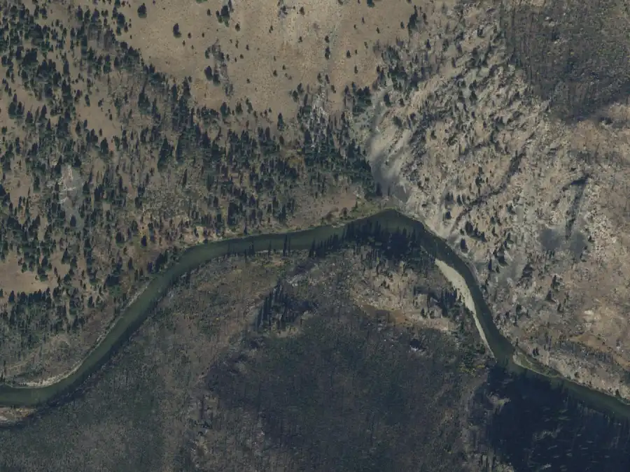
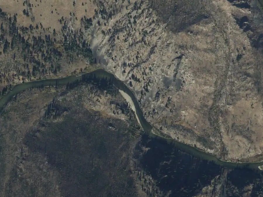
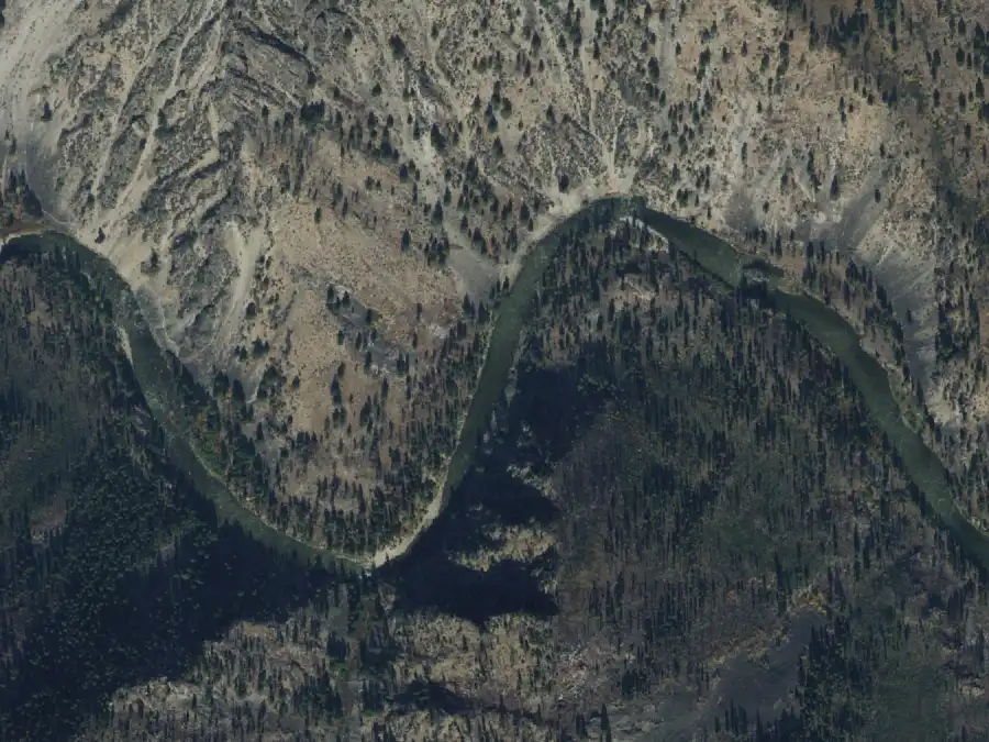
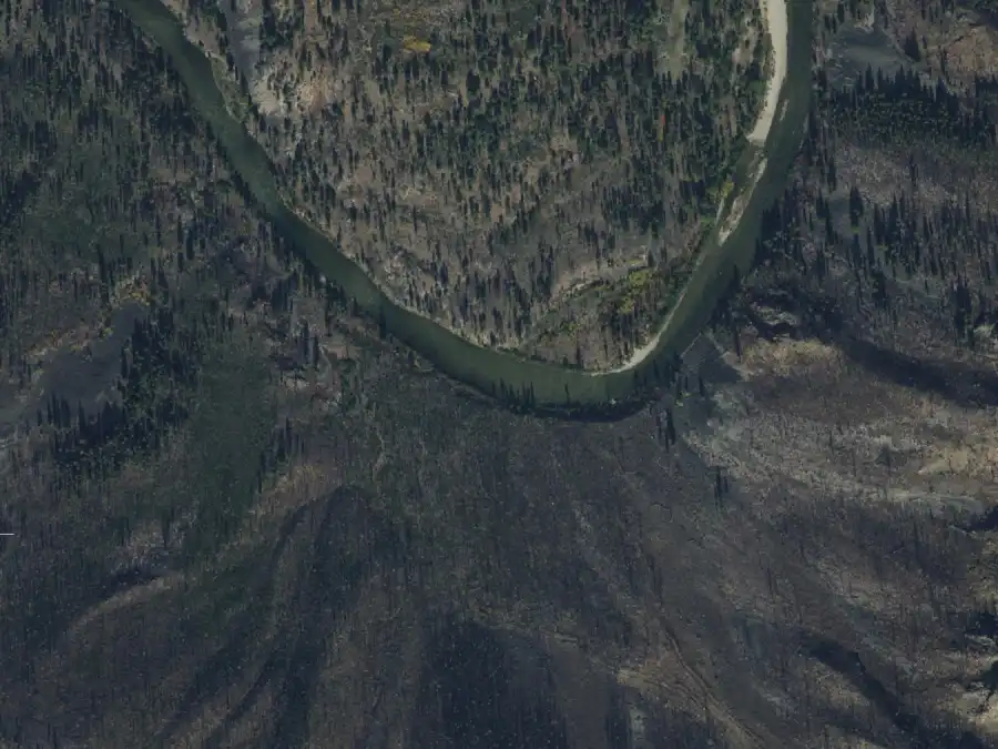
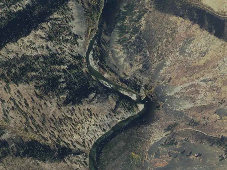
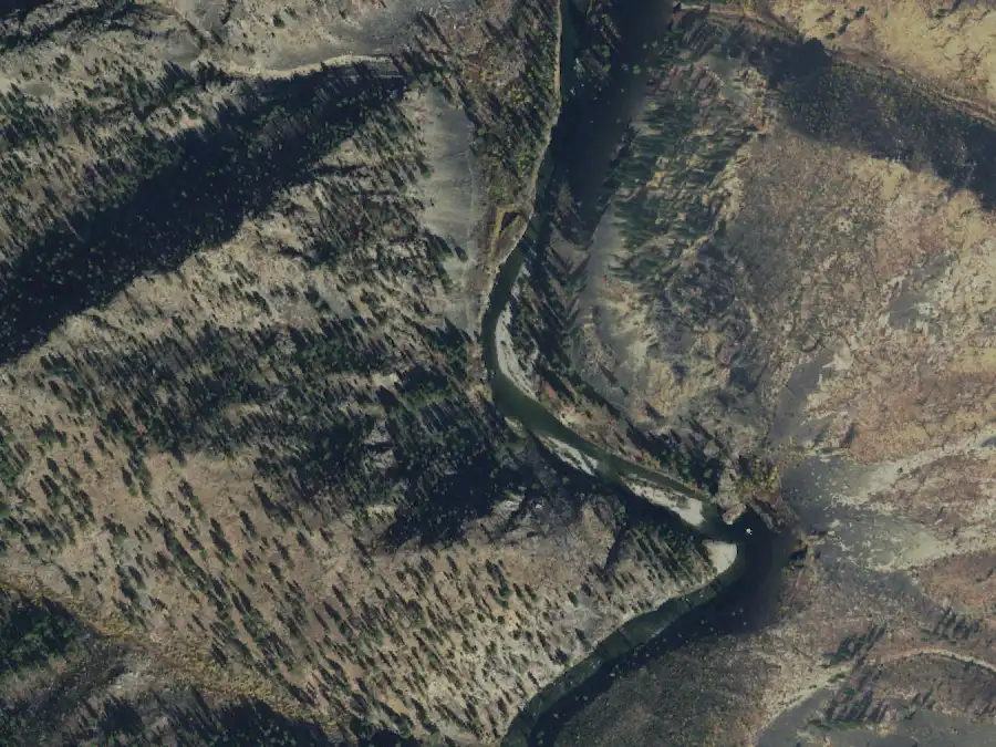
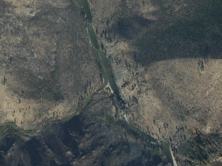
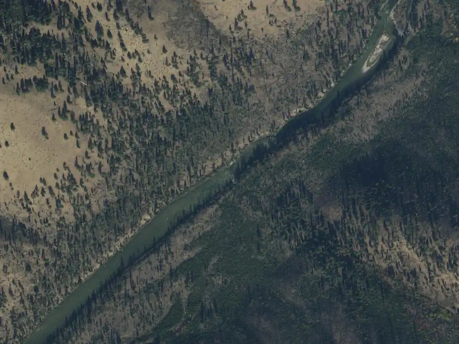
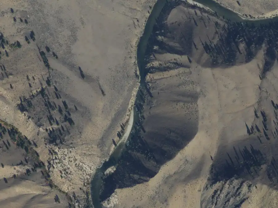
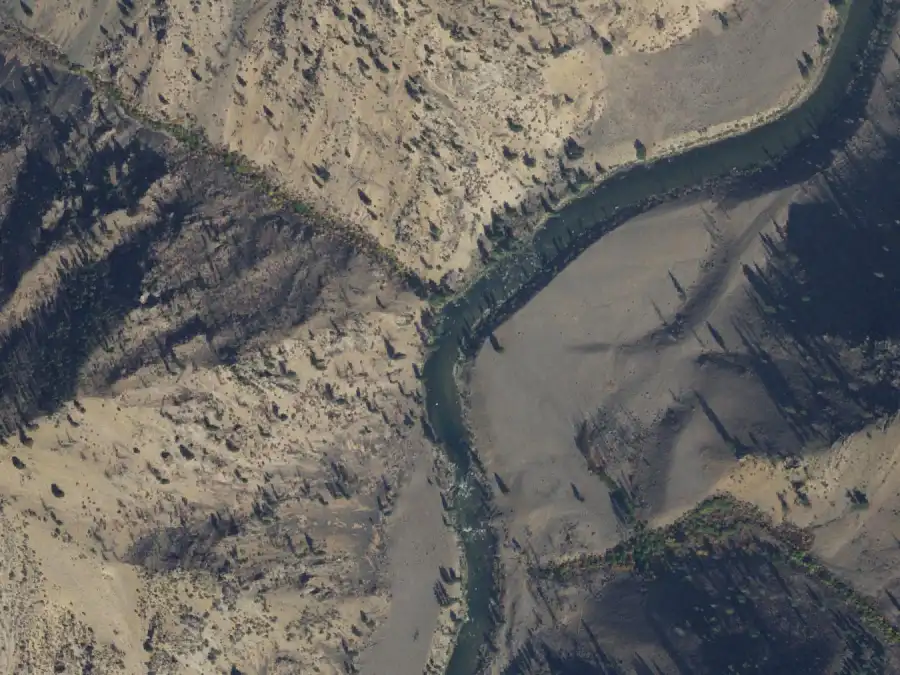
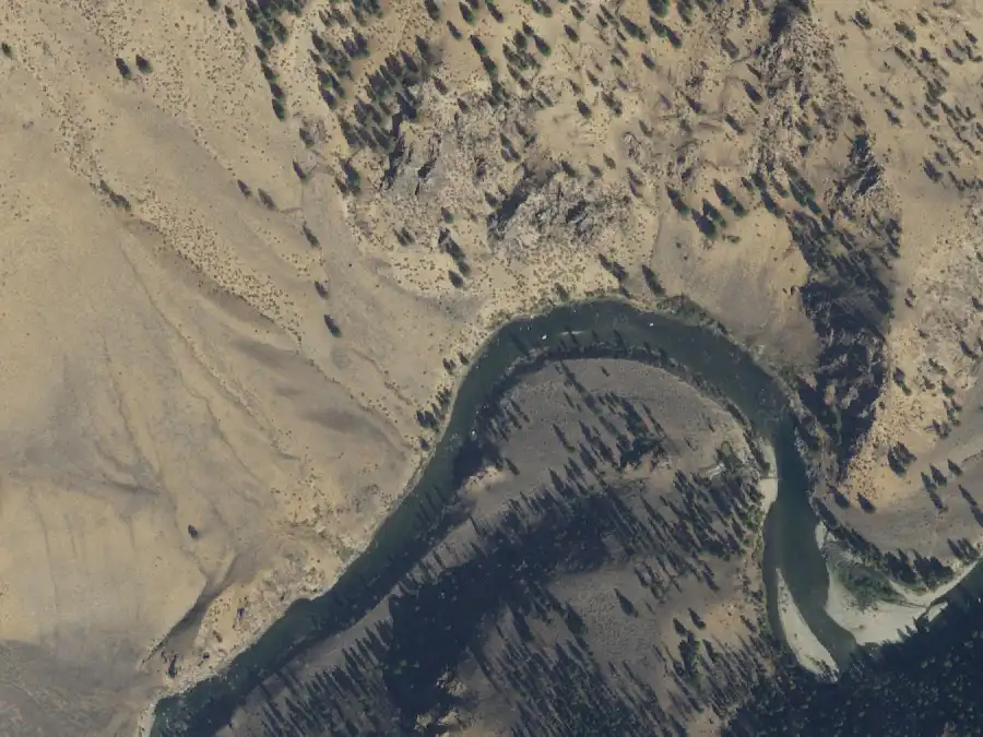
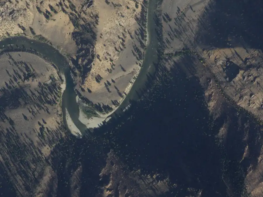
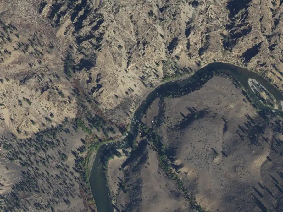
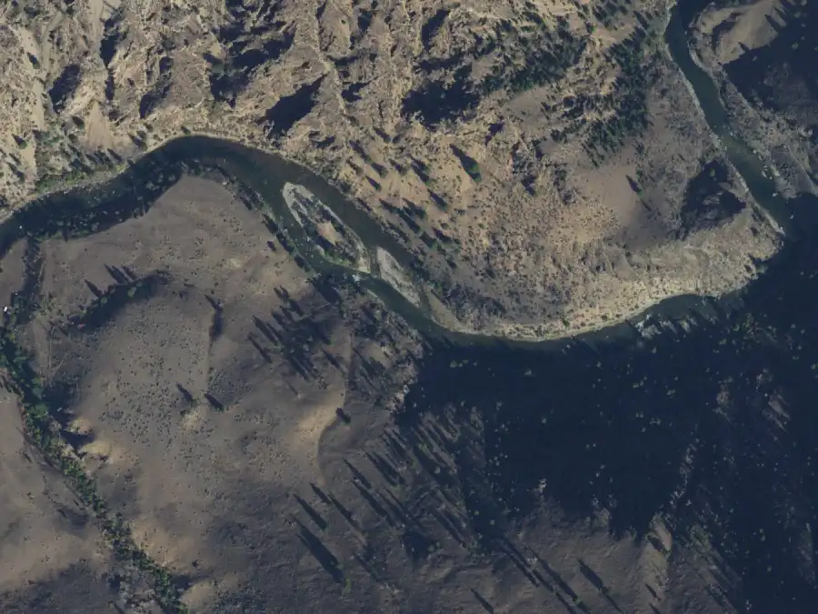
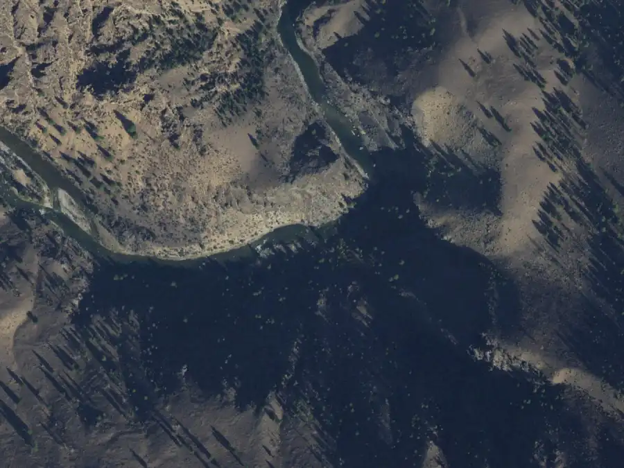
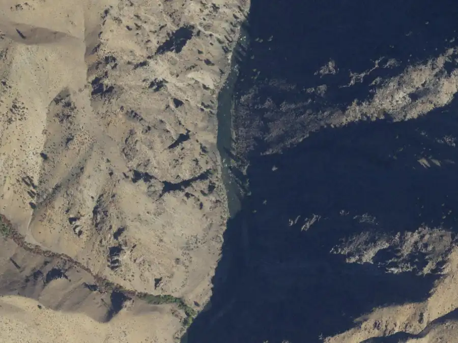
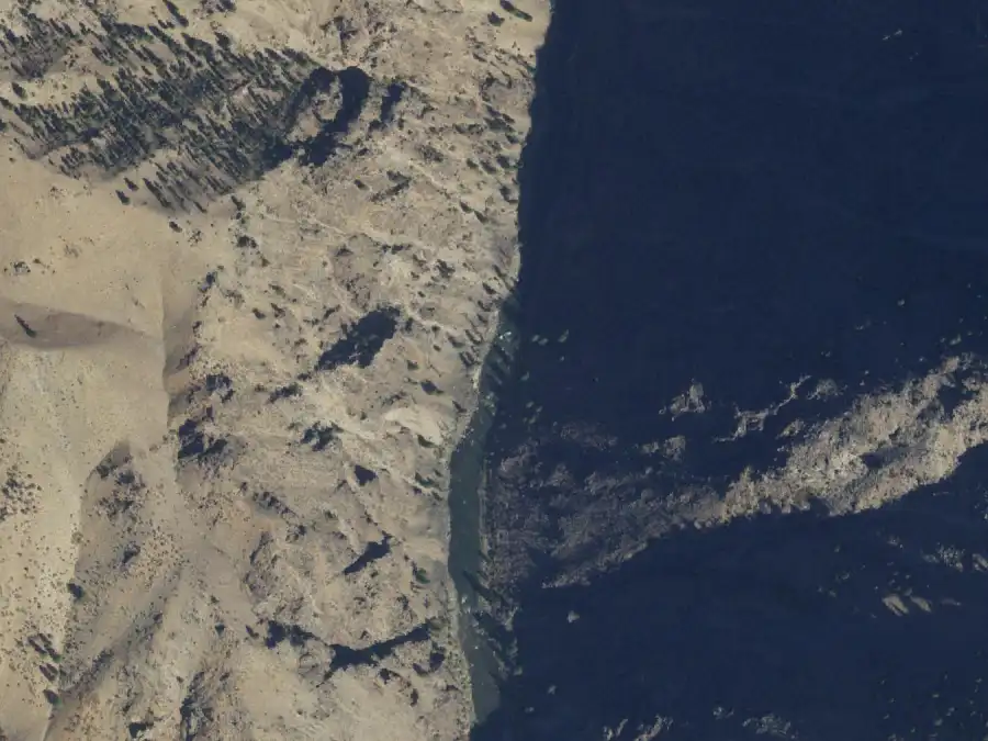
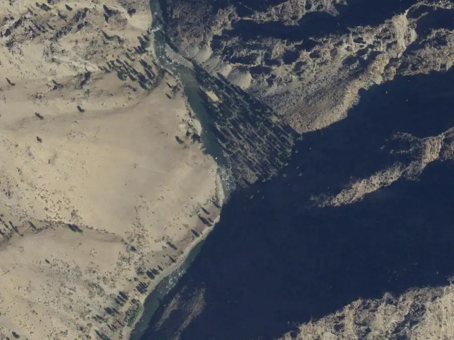
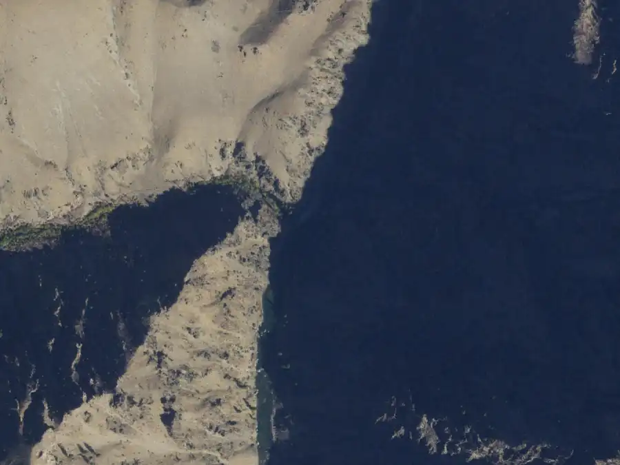
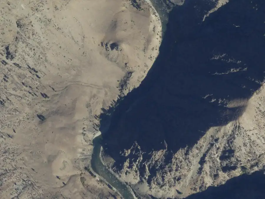
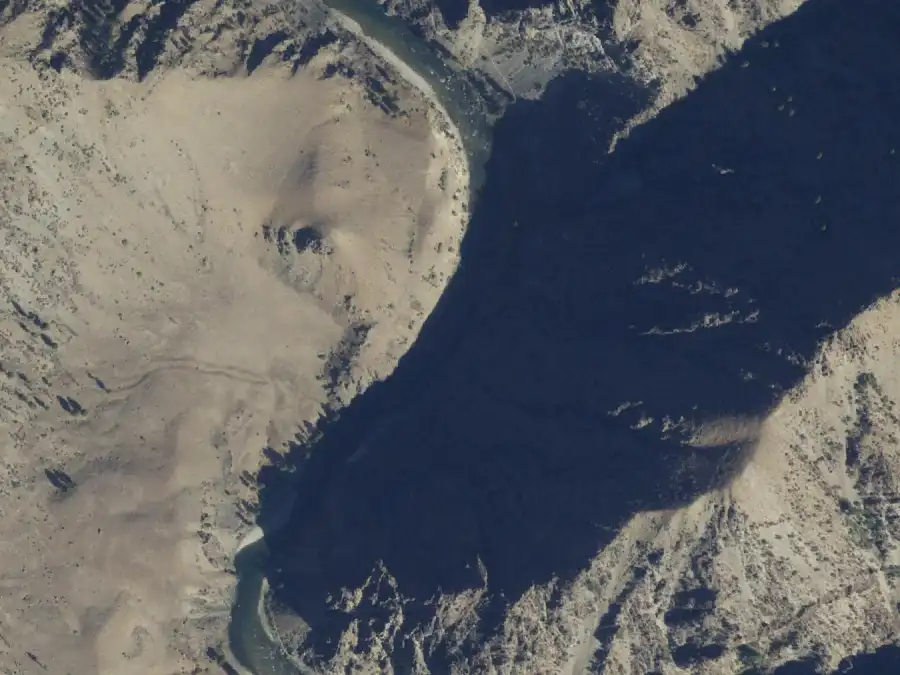
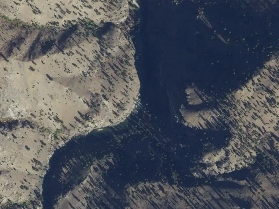
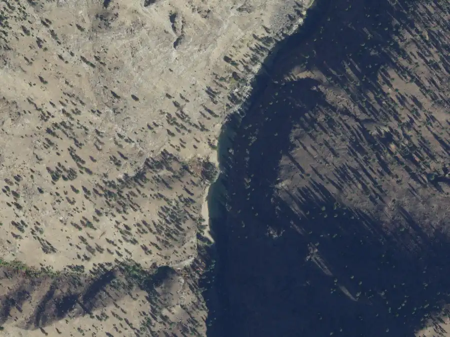
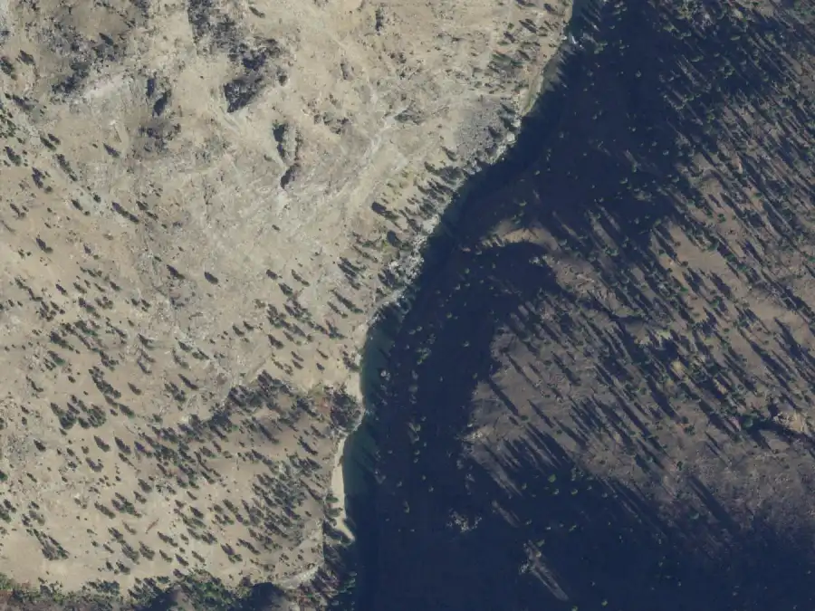
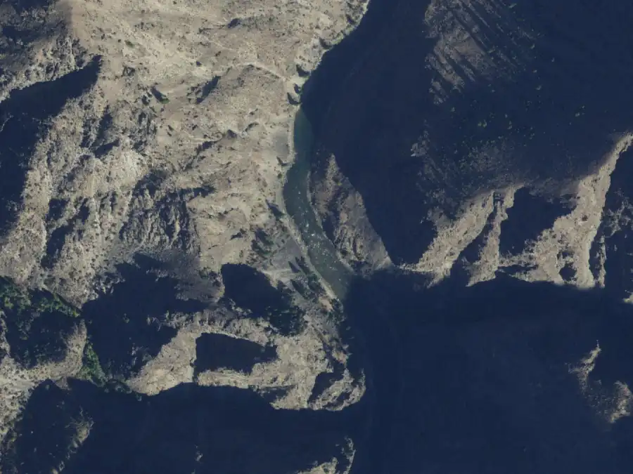
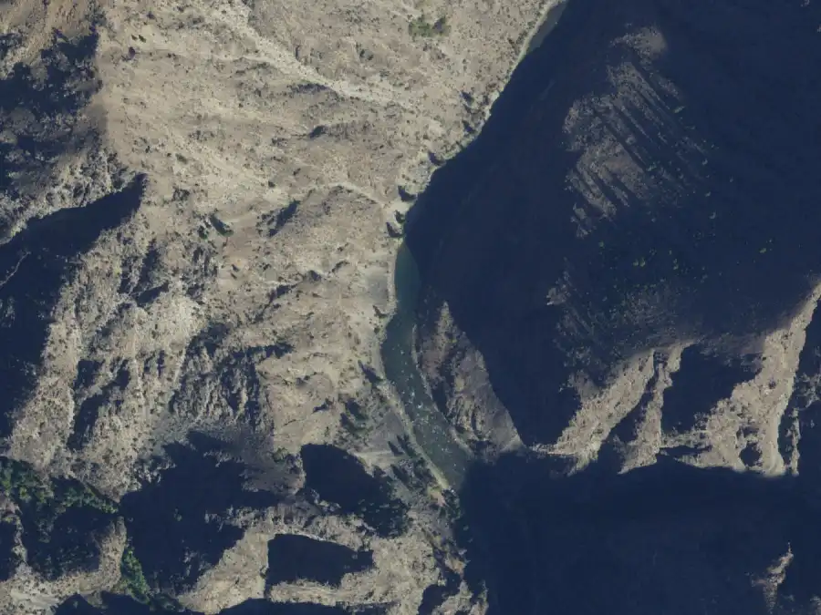
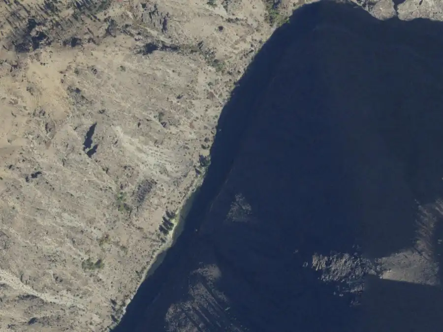
Every camp has an aerial from the USDA’s National Agriculture
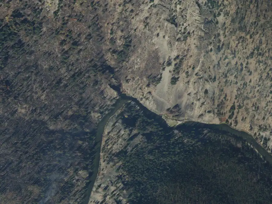
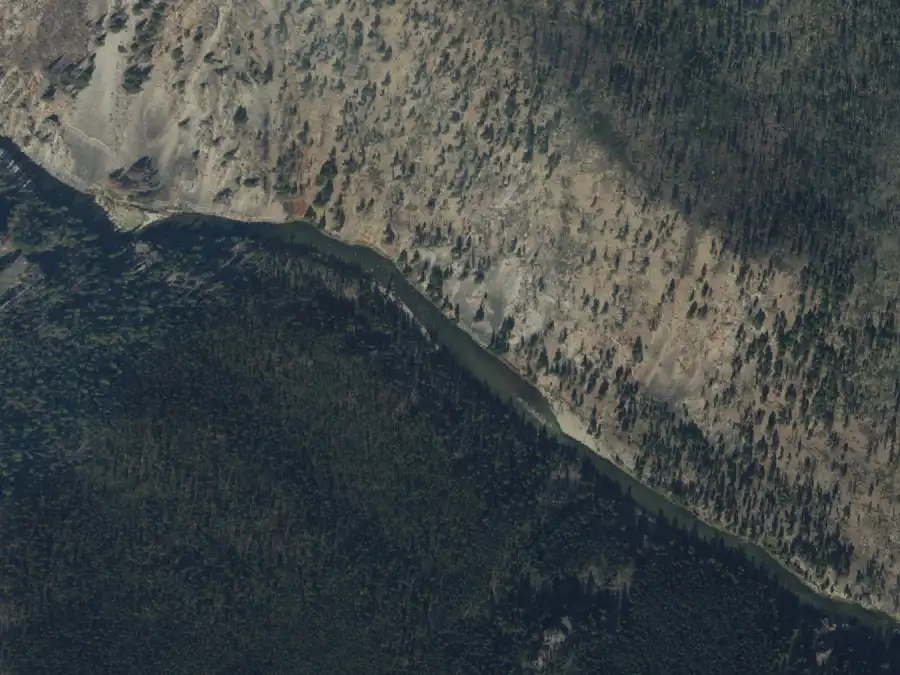
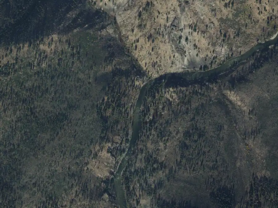
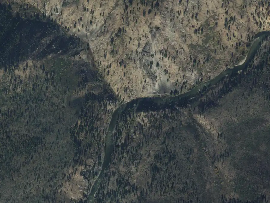
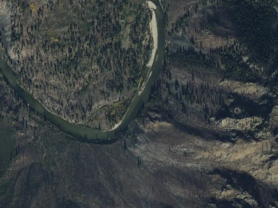
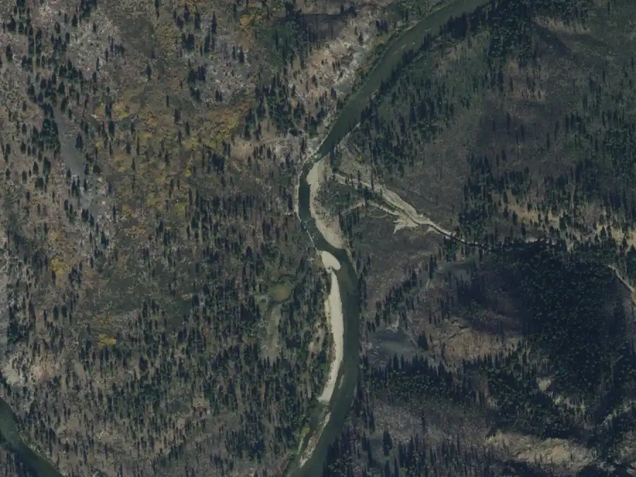
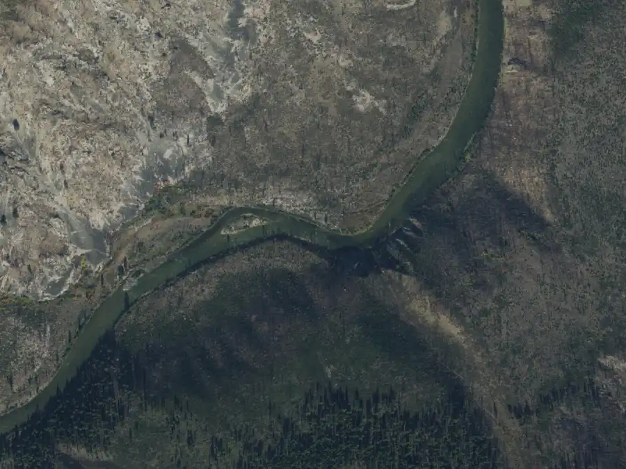
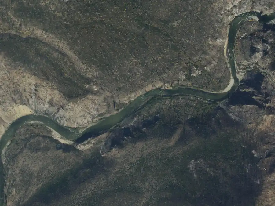
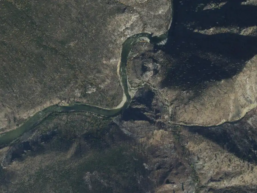
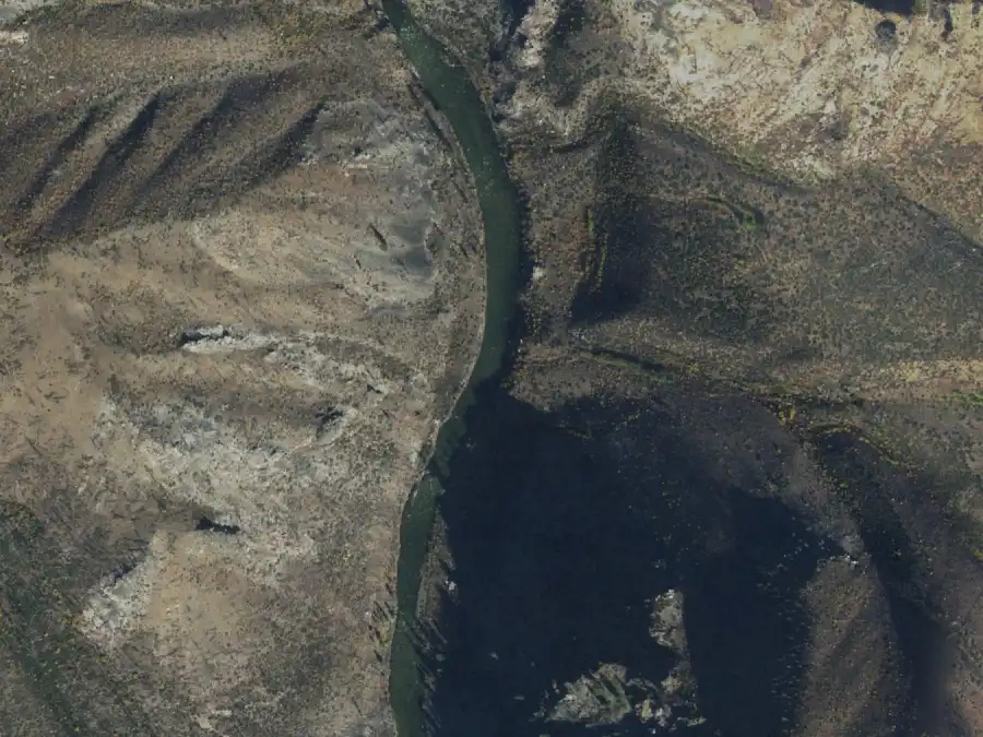
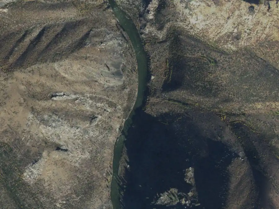
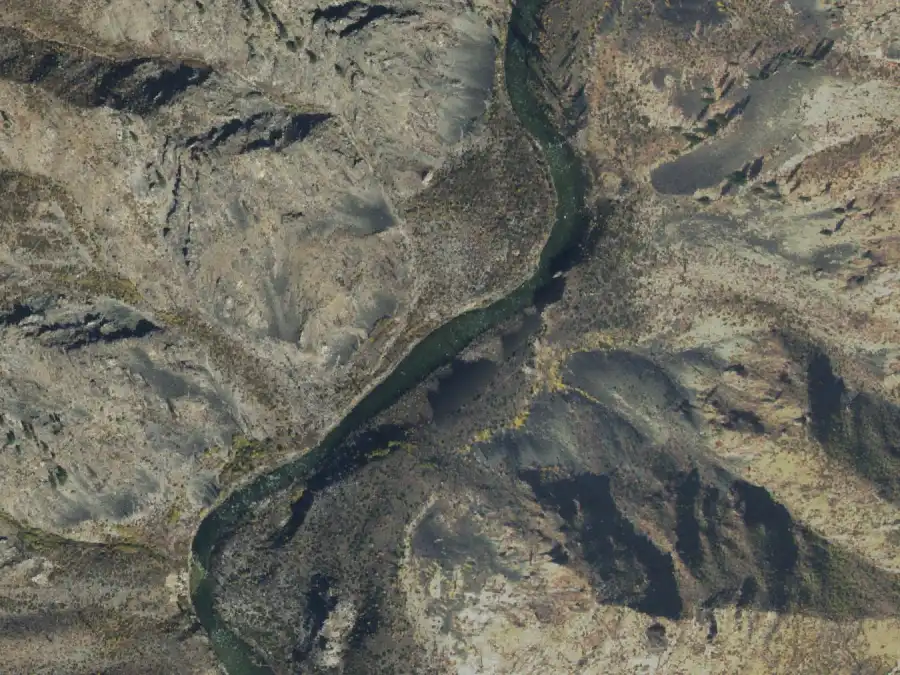
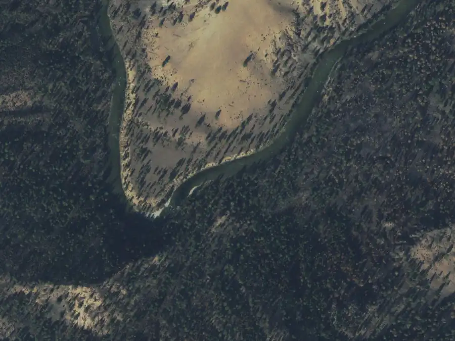
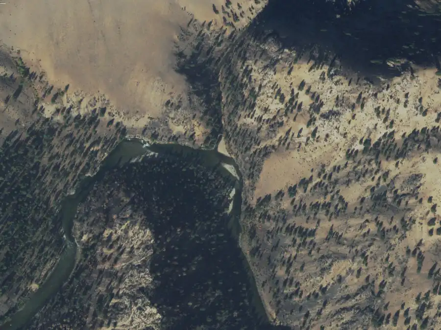
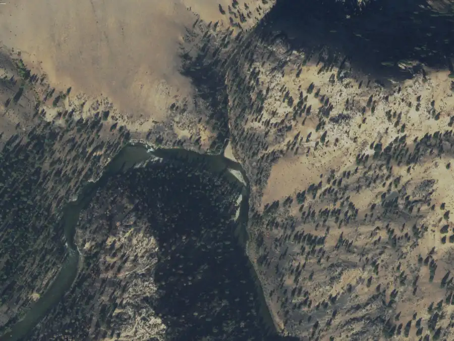
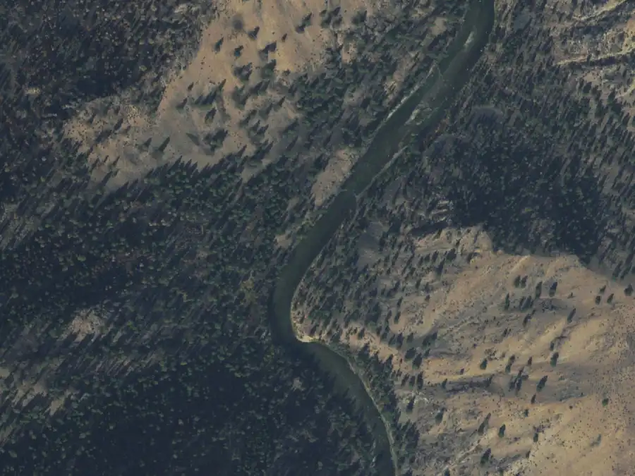
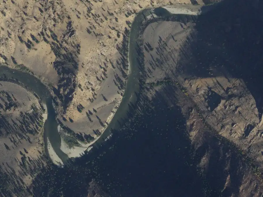
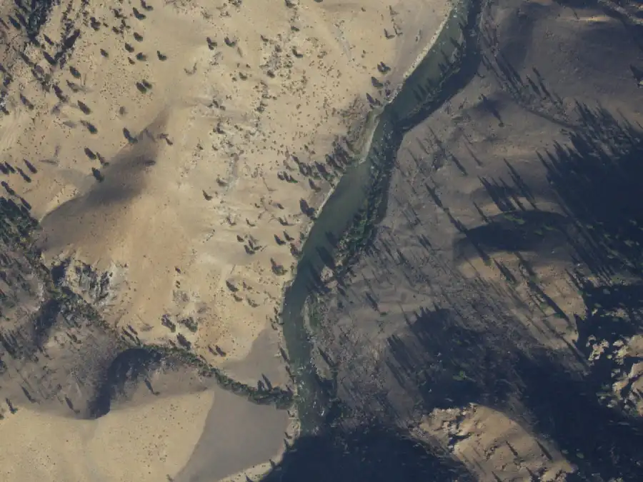
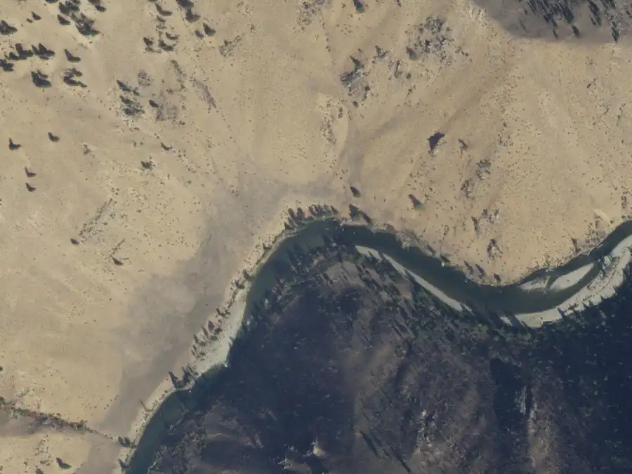
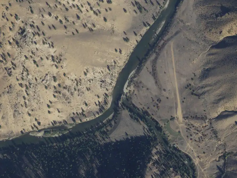
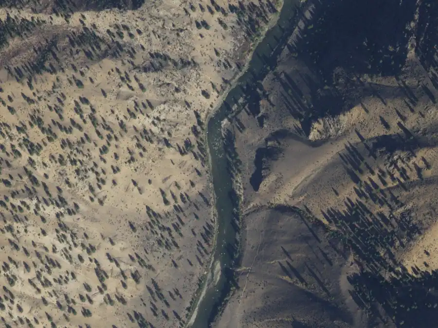
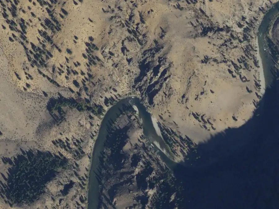
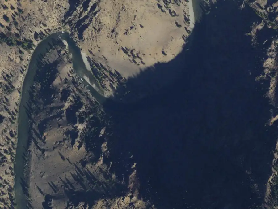
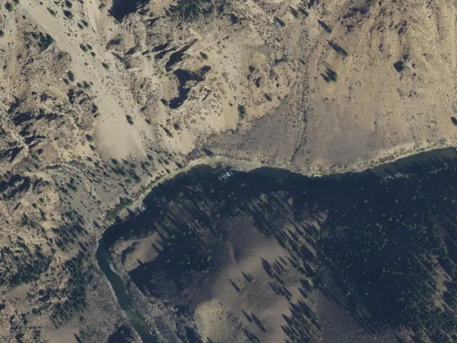
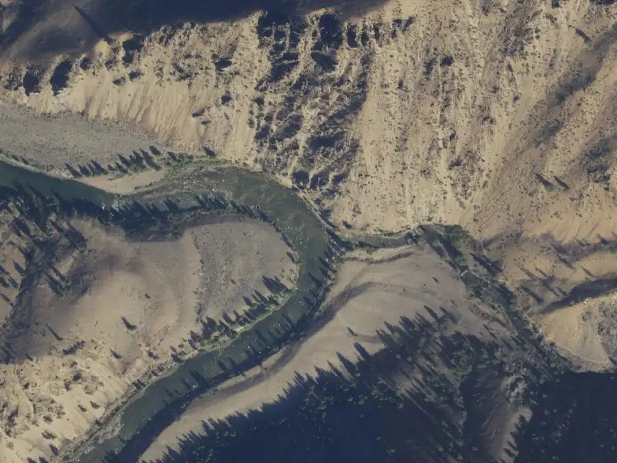
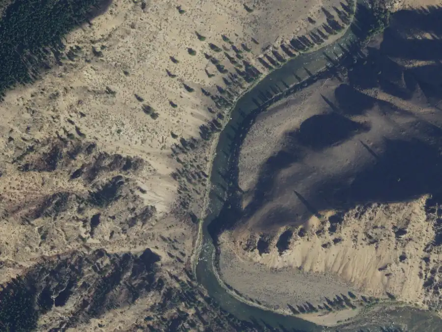
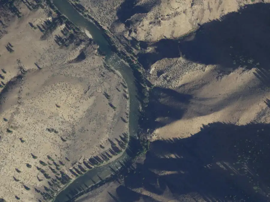
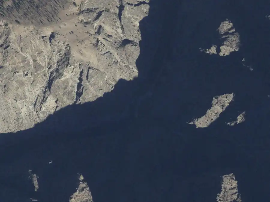
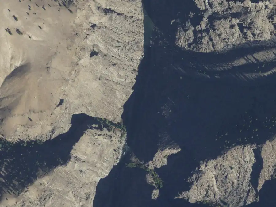
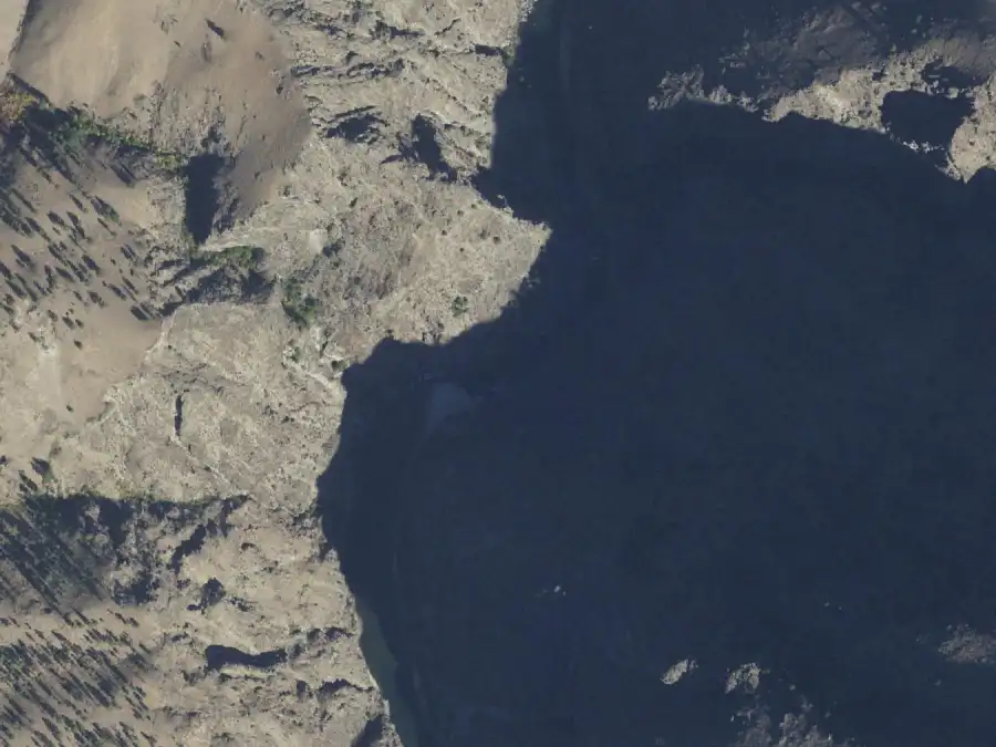
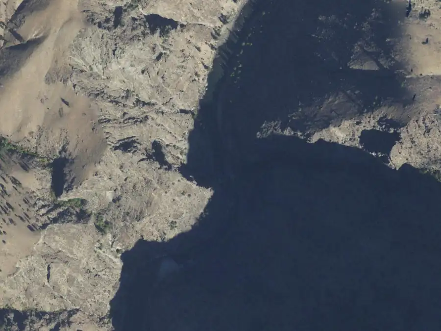
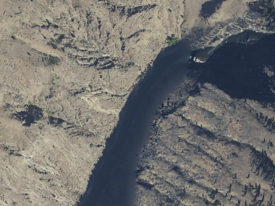
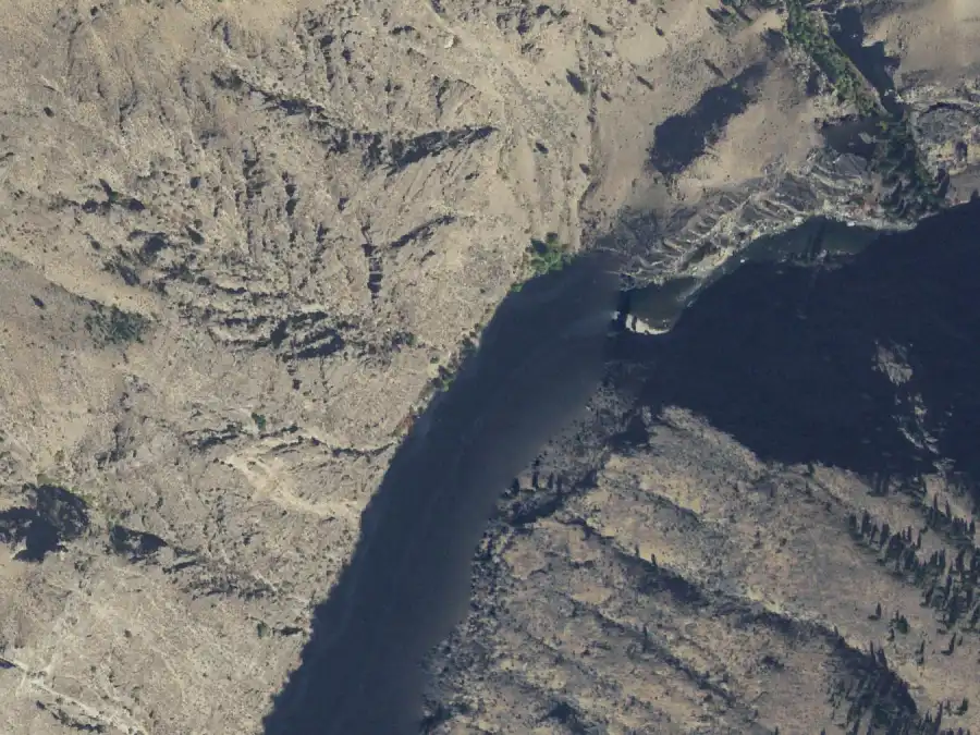
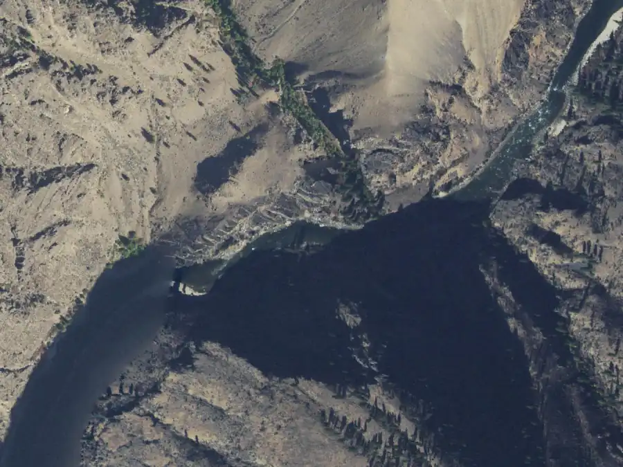
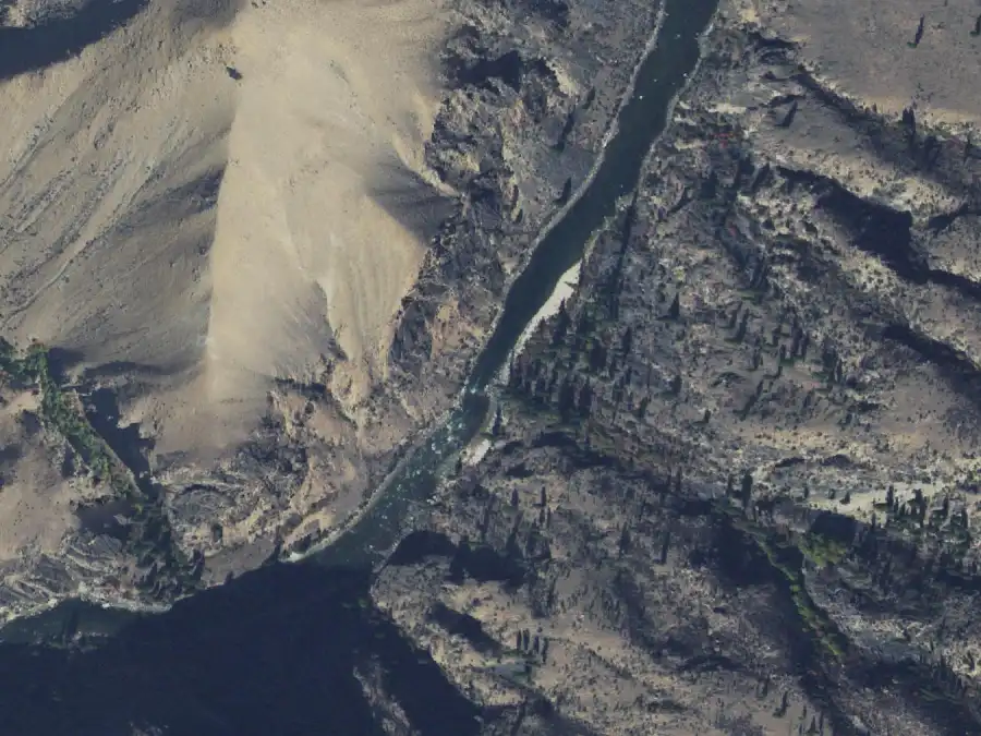
Imagery Program, which is public domain. These were flown between 29 Sep 2021 and 2 Oct 2021, with the Middle Fork Lodge gauge at 1.4 ft (411–421 cfs), in the 2.5-ft-or-less column: they show the camps at low water. Each frame is
1.2 km across with north at the
top. The Forest Service publishes river miles, not coordinates, so a
frame is centred on the camp’s mile along the river’s mapped
centerline, which is good to about a quarter mile: the camp is in the
picture, near the middle, on the bank the entry names.
What an aerial cannot show is the camp from the boat, or the same beach
at high water. Nobody publishes ground photos of these camps that can be
reused, so each entry has room for a low-water and a high-water
photograph, and they are empty.
Sources and what this is not
Mile, river side, all three capacities, layovers, the hot-springs,
heritage and no-wood flags, and the use levels on every camp come from the
Forest Service, Middle Fork Salmon Campsites (2025). It matches the
table on the Forest Service’s Middle Fork page except that the web
table leaves out Airplane camp. That the feet are the Middle Fork Lodge
gauge’s height comes from
GoRafting, Middle Fork of the Salmon River Flows & Levels and
North Idaho Rivers. Camp names are
spelled as that list spells them, because that is what the request form
uses. The descriptions are LateBoof’s own wording; details beyond
the Forest Service list were checked against
GoRafting, Middle Fork of the Salmon River Rafting Guide, and where the two
disagree the Forest Service figure is used and the camp says so.
Nothing here comes from a LateBoof trip yet. Beaches move, creeks blow
out, and camps burn; a description is a starting point for a
conversation with someone who was there last season, not a promise.
Checked 2026-09-30.